





An Eye in the Sky Like No Other
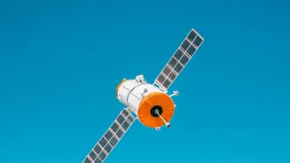
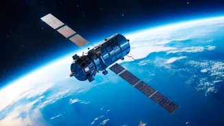
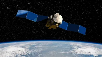
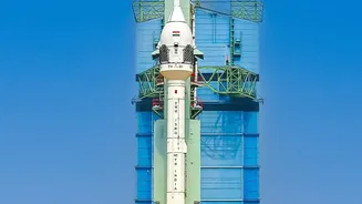
NISAR, which stands for NASA-ISRO Synthetic Aperture Radar, is a sophisticated Earth-observation satellite born from a landmark partnership. Launched in July 2025, it marks the first time the two space agencies have collaborated on hardware for such a mission.
Unlike typical optical satellites that are blinded by clouds or darkness, NISAR uses a powerful radar system. This allows it to monitor the planet day and night, in any weather, scanning nearly all of Earth's land and ice every 12 days. What makes it truly unique is its use of two different radar frequencies—L-band from NASA and S-band from ISRO—which work together to create incredibly detailed, three-dimensional maps of Earth's surface. This dual-frequency capability enables it to measure changes on the ground with astonishing precision, detecting movements as small as a centimetre.
Seeing India's Invisible Water
For a nation where groundwater is the lifeline for agriculture and drinking water for millions, managing this hidden resource is a monumental challenge. NISAR offers a revolutionary solution. It cannot see the water directly, but it can detect the subtle sinking or rising of the land surface, a process known as subsidence. When large amounts of groundwater are pumped out, the land above the aquifer can sink; when aquifers recharge, it can rise. By systematically mapping these tiny movements across entire regions, NISAR provides an unprecedented view of groundwater depletion and recharge rates. This data is far more comprehensive than what can be gathered from a limited number of monitoring wells, giving water resource managers a powerful tool to promote sustainable use and prevent the irreversible collapse of crucial aquifer systems.
A New Guard for India's Forests
India's forests face constant threats from degradation and deforestation. NISAR’s radar technology is a game-changer for monitoring these vital ecosystems. The satellite's longer L-band waves can penetrate through dense forest canopies, while the shorter S-band waves interact with the upper layers. This combination allows scientists to build a detailed picture of the forest's structure and health. It can measure 'above-ground biomass', which is essentially the total amount of plant life, helping to accurately track carbon stocks. The satellite's frequent passes can detect changes caused by logging, fires, or even subtle degradation almost in real-time. This provides crucial information for forest management, conservation efforts, and fighting illegal encroachment, giving authorities a clear view of what’s happening beneath the green canopy.
Beyond Water and Woods
The applications of NISAR's data for India are vast and extend well beyond groundwater and forests. The mission is already enhancing disaster management by tracking land shifts that could warn of landslides in the Himalayas and mapping the extent of floods even under thick vegetation. In agriculture, it provides precise data on soil moisture and crop health, which can help optimise irrigation and improve food security. Furthermore, the satellite monitors the health of glaciers, the stability of critical infrastructure like dams and bridges, and changes along India's extensive coastline. This stream of high-resolution data, made freely available, empowers scientists, policymakers, and communities to make more informed decisions to protect both lives and the environment.