



A Forest That Fights Back
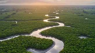
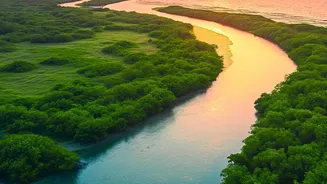
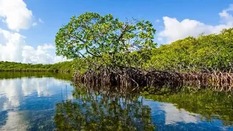
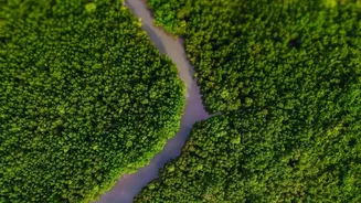
The Sundarbans, the world's largest mangrove forest, is more than just a UNESCO World Heritage site teeming with iconic Royal Bengal tigers. It's a critical 'blue carbon' ecosystem. Mangrove forests are champions of carbon sequestration, capturing and
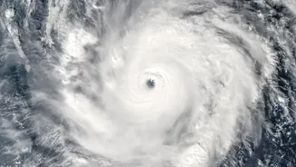
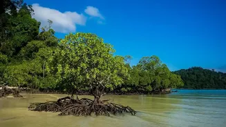
storing up to four times more carbon per hectare than terrestrial rainforests. Much of this carbon isn't just in the trees themselves but is locked away for centuries in the deep, waterlogged soil beneath their complex root systems. This makes protecting and restoring the Sundarbans a crucial nature-based solution in the fight against climate change. For the millions of people living in the region, a healthy mangrove forest also means a stronger natural barrier against increasingly severe cyclones and a source of livelihood through fishing and honey collection.
The Challenge of Measuring a Swamp
So, how do we know exactly how much carbon this sprawling, inaccessible forest holds? Traditionally, scientists have relied on fieldwork—trudging through mud and water to measure tree trunks and take soil samples. While accurate, these methods are incredibly time-consuming, labor-intensive, and difficult to scale across the vast 10,000 square kilometres of the Sundarbans. Getting a complete, repeatable picture of the entire forest's health and carbon stock has been a persistent challenge, limiting our ability to precisely track the success of large-scale restoration efforts.
Eyes in the Sky: The Technology
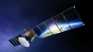
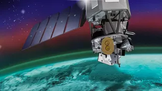
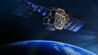
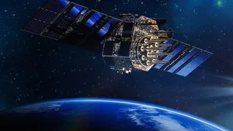
This is where advanced satellite sensors come in, offering a transformative way to see the forest. The key technology is LiDAR (Light Detection and Ranging). Mounted on aircraft or satellites, LiDAR systems shoot thousands of laser pulses per second towards the ground. By measuring the time it takes for these pulses to bounce back, they create an incredibly detailed 3D map of the forest structure. This isn't just a flat image; it's a point cloud that captures the height of the canopy, the density of the branches, and even the shape of individual tree trunks. This structural data is a powerful proxy for estimating the total amount of biomass—the wood, leaves, and roots—which directly correlates to the amount of carbon stored.
Beyond 3D: Adding Colour to the Data
LiDAR is often paired with other remote sensing tools, like multispectral and hyperspectral sensors. These instruments measure the reflection of sunlight off the forest canopy across various wavelengths, including those beyond what the human eye can see. This data helps scientists determine the health of the mangroves, identify different species, and calculate vegetation indices like the Normalized Difference Vegetation Index (NDVI). A healthy, dense patch of mangroves will have a different spectral signature than a degraded one. By combining this information with LiDAR's structural maps, researchers can build highly accurate, large-scale models of both carbon stock (what's already there) and carbon sequestration rates (how fast it's being stored).
From Data to Decisions
This high-resolution data is a game-changer for conservation. It allows organisations involved in restoration projects to monitor vast tracts of newly planted mangroves and verify which techniques are most effective. Accurate, satellite-verified data is also essential for India's participation in global carbon markets. By precisely quantifying the amount of carbon being sequestered, these restoration projects can generate blue carbon credits, creating a financial incentive for further investment in conservation. This ensures that protecting the Sundarbans is not just an ecological necessity but also an economically sustainable one, benefiting the local communities who are at the forefront of these restoration efforts.