






A Constant Watcher From 36,000 Kilometres
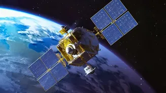
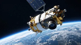
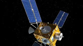
Most Earth observation satellites circle the globe in lower orbits, passing over a specific area only a few times a day. The EOS-05, also known as GISAT-1A, is different. It is designed to be a geostationary satellite, orbiting at a much higher altitude
of approximately 36,000 kilometres. At this height, its orbital speed matches the Earth's rotation, allowing it to remain seemingly stationary over the Indian subcontinent. This fixed position is a game-changer. Instead of getting periodic snapshots, ISRO will have a constant, unblinking view, enabling continuous monitoring of weather patterns and land-based events across the entire country.
The Power of Near-Real-Time Imagery
The true strength of EOS-05 lies in its intended speed and detail. The satellite is expected to image the entire Indian landmass every 30 minutes. For areas of high interest, like a forming cyclone or a spreading forest fire, it aims to provide updated images every five minutes. This near-real-time capability is crucial for disaster management. It means authorities could track the path of a cyclone with greater precision, map the extent of floodwaters to direct rescue teams, and monitor hotspots to prevent large-scale fires. The satellite will carry multi-spectral and hyper-spectral imaging instruments, which can see across different wavelengths of light to provide rich data on everything from cloud formation and water quality to crop health and mineralogy.
A Second Chance After a Setback
The path to this advanced capability has faced challenges. EOS-05 is essentially the successor to the EOS-03 (GISAT-1) mission, which was lost during a launch in August 2021. A technical anomaly in the GSLV rocket's cryogenic upper stage prevented the satellite from reaching its intended orbit. That failure was a significant setback, but ISRO's persistence with the upcoming GSLV-F17 launch of EOS-05 underscores the critical importance of this technology for the nation. It represents a determined effort to overcome past hurdles and secure an invaluable asset for national security and public safety.
How It Could Change Lives
For the average citizen, the impact of a successful EOS-05 mission could be profound. Fishermen at sea could receive more accurate and timely cyclone warnings, giving them crucial extra hours to return to shore. Farmers could benefit from detailed agricultural monitoring, helping with yield predictions and drought management. For communities in flood-prone river basins or coastal areas, the rapid mapping of inundated areas would mean faster and more effective relief and rescue operations. India's current satellite systems, like the INSAT and Oceansat series, already provide vital meteorological data, but EOS-05's high-frequency imaging would add a new layer of actionable intelligence when every minute counts.
More Than Just Weather
While disaster management is a primary objective, the applications for a geostationary imaging satellite extend much further. The constant surveillance capability is valuable for strategic and security purposes, including monitoring borders. Environmentally, it can be used to track changes in forest cover, monitor the health of water bodies, and assess the impact of climate change on a national scale. By providing a steady stream of high-resolution data, EOS-05 can support a wide range of governance and development activities, from urban planning to natural resource management, making it a versatile tool for a developing India.