



India's Eyes in the Sky
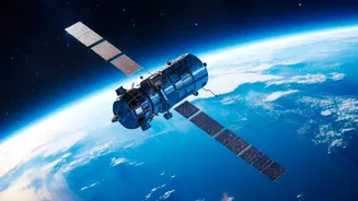
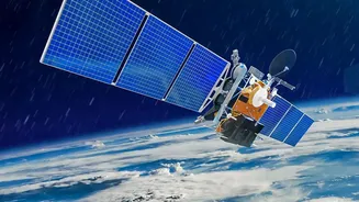
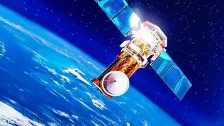
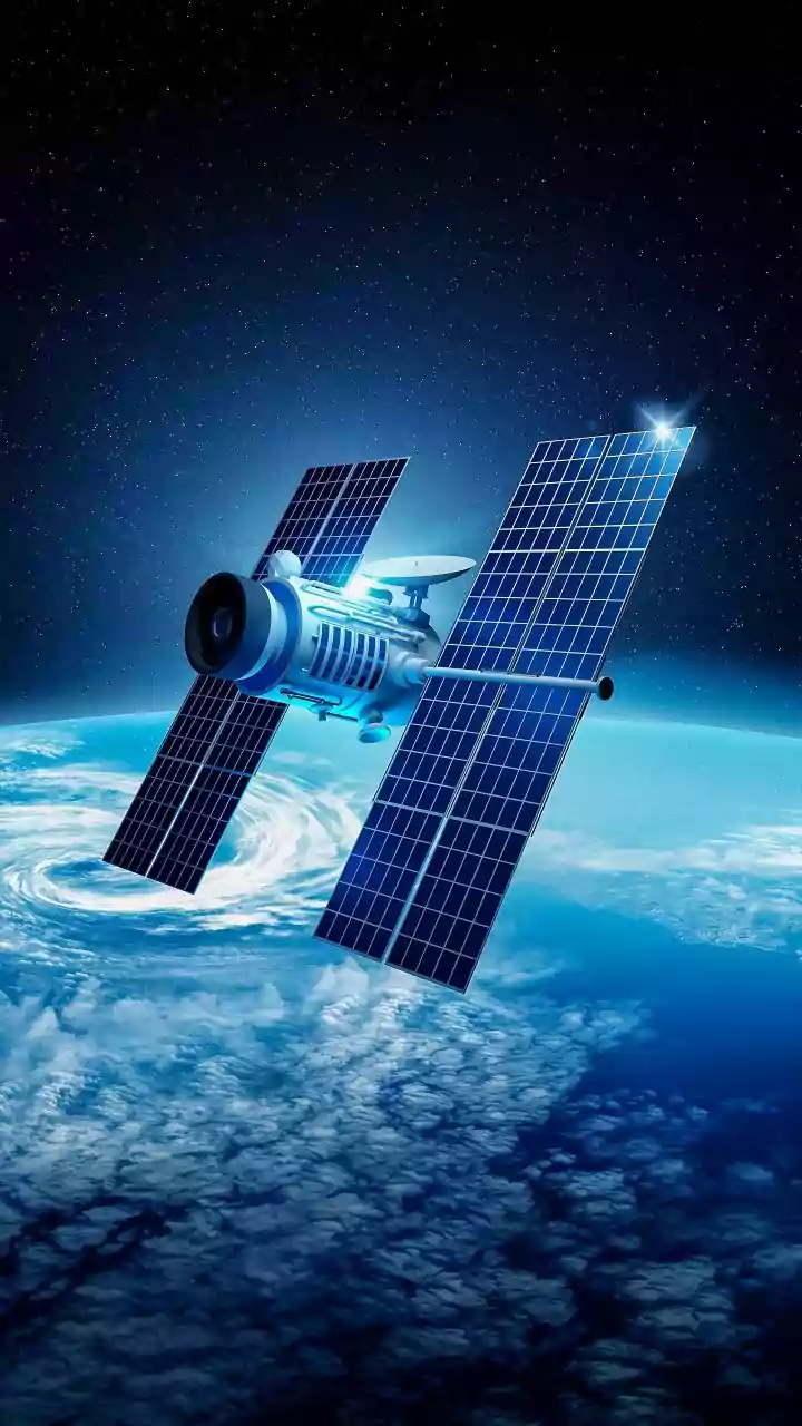
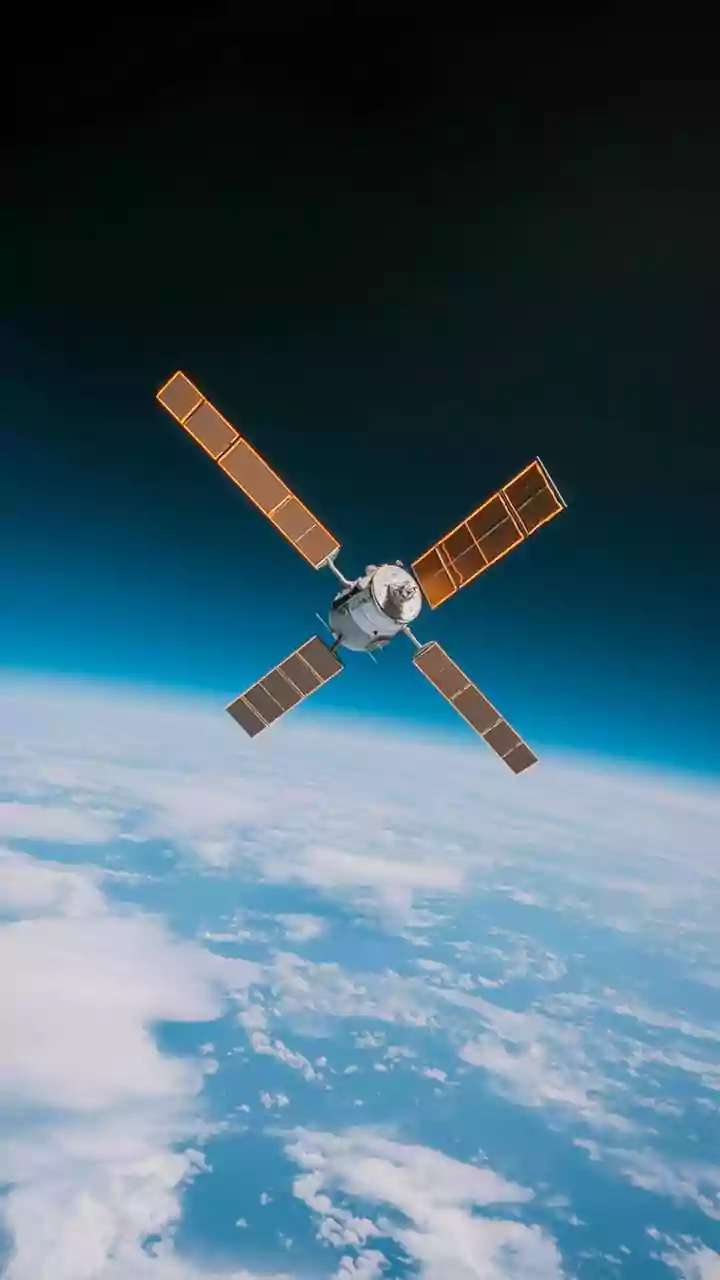
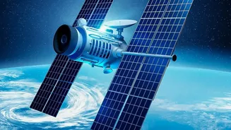
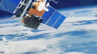
The Indian Space Research Organisation (ISRO) operates one of the world's most advanced constellations of Earth Observation (EO) satellites. These are not your average telecommunication satellites; they are sophisticated cameras and sensors orbiting the planet,
designed for non-military purposes like environmental monitoring, resource management, and disaster response. Key among them are the RISAT (Radar Imaging Satellite) and Cartosat series. What makes them special is their ability to see what human eyes cannot. While optical satellites capture images like a photograph and are blinded by clouds or darkness, radar satellites can pierce through them. This all-weather, day-and-night capability is indispensable for a country like India, which faces the heavy cloud cover of the monsoon season precisely when flood monitoring is most needed.
Mapping Floods Before and After
When torrential rains lash a region, rivers swell and landscapes change in a matter of hours. This is where Synthetic Aperture Radar (SAR) technology, carried by satellites like the RISAT series, becomes a lifesaver. SAR actively sends out microwave pulses and analyses the signals that bounce back, creating detailed maps of the Earth's surface regardless of weather conditions. By comparing images taken before and during a flood, authorities at agencies like the National Remote Sensing Centre (NRSC) can instantly identify the extent of inundation. This real-time data allows disaster management teams to know exactly which villages are cut off, where to direct rescue boats, and how to plan evacuation routes. It transforms disaster response from a reactive guessing game into a precise, data-driven operation, helping to save countless lives.
A Revolution in the Fields
Beyond disaster management, satellite technology is quietly revolutionising Indian agriculture. For millions of farmers, these space-based assets act as a high-tech partner. Through programmes like FASAL (Forecasting Agricultural Output using Space, Agro-meteorology and Land-based Observations), the government uses satellite data to provide pre-harvest production forecasts for major crops like paddy, wheat, and sugarcane. Satellites can monitor crop health by analysing the light they reflect, identifying stress from pests or lack of water long before it's visible on the ground. This data also powers the National Agricultural Drought Assessment and Monitoring System (NADAMS), which gives early warnings about drought conditions by tracking soil moisture and vegetation health. This information is critical for planning and timely intervention.
From Data to Decisions
The raw data from satellites is powerful, but its true value is unlocked when it reaches the people who need it. This is where a suite of government initiatives comes in. The Mahalanobis National Crop Forecast Centre (MNCFC) is a key agency that translates complex satellite imagery into actionable intelligence for the agricultural sector. For farmers, programmes like Krishi-DSS (Decision Support System) integrate this data to provide advisories on everything from sowing patterns to pest management. This information is increasingly delivered through mobile apps. Even crop insurance schemes like the Pradhan Mantri Fasal Bima Yojana (PMFBY) use satellite data for more accurate yield estimation and faster claim settlements, ensuring that support reaches farmers when they need it most.