




The Legend of Poompuhar
For centuries, the story of Kaveripoompattinam, or Poompuhar, has been woven into the fabric of Tamil culture. Mentioned in Sangam literature like 'Silappathikaram' and 'Manimekalai', it was the magnificent capital and port of the early Chola kings. This
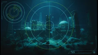
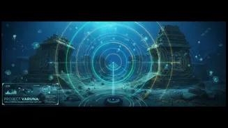
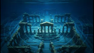
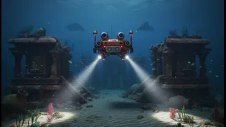
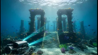
bustling hub of international trade, famed for its urban planning and cultural vibrancy, is believed to have been lost to the sea over a thousand years ago due to a 'kadalkol', a catastrophic sea-level rise or tsunami. For generations, it was a tale of literary grandeur. But now, marine archaeologists and scientists are proving the legends have a basis in reality, with explorations uncovering man-made structures and signs of a submerged settlement. The quest is not just to find ruins, but to resurrect the memory of a pivotal chapter in India's maritime history.
Seeing with Sound
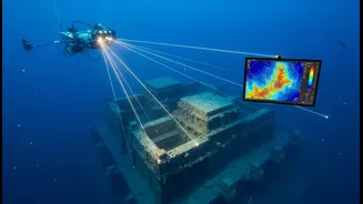
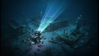
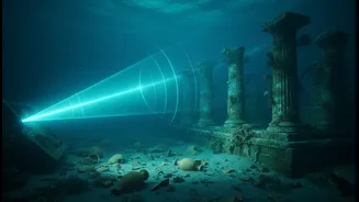
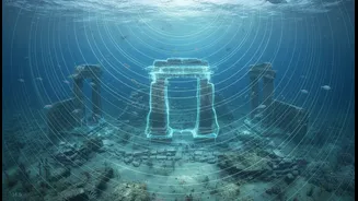
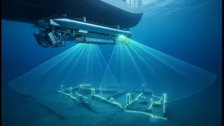
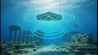
So how do you map a city you can't see? The answer lies in sound. Scientists are using advanced sonar technology, particularly the Multibeam Echosounder (MBES), to chart the seabed off the Poompuhar coast. Think of it as a high-tech version of a ship's echo sounder. Instead of sending one sound pulse down, the MBES sends out a wide, fan-shaped swath of hundreds of beams. As these sound waves hit the ocean floor and bounce back, a sensor records the time and angle of each return. This process, repeated thousands of times per second, gathers a massive amount of depth data, known as a point cloud. This dense data set allows researchers to create incredibly detailed, three-dimensional digital terrain models of the seafloor, revealing shapes and anomalies that could be ancient walls, wharfs, or entire buildings hidden under sediment.
From Data to Digital Reconstruction
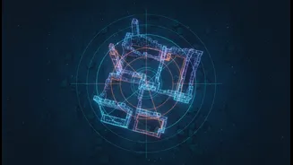
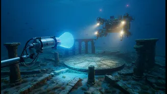
The project is a collaborative effort, involving key institutions like the National Institute of Ocean Technology (NIOT) and the Tamil Nadu State Department of Archaeology (TNSDA). The process begins with research vessels methodically sailing over the target area, deploying an array of instruments. Alongside the Multibeam Echosounder, teams use Side-Scan Sonar to create picture-like images of the seabed surface and Sub-Bottom Profilers that send lower-frequency sound waves to see structures buried beneath the sand. Once this raw acoustic data is collected, it is painstakingly processed. Skilled hydrographers and data analysts clean the data, correct for the ship's motion, and stitch the millions of data points together. The result is a precise, explorable 3D map of a landscape lost to time, allowing archaeologists to identify promising targets for further investigation with remotely operated vehicles (ROVs) and divers, without disturbing the site.
Preserving Heritage for the Future
This digital preservation goes beyond mere discovery. By creating a detailed digital twin of Poompuhar, the project, part of the Department of Science and Technology's 'Indian Digital Heritage' initiative, achieves several crucial goals. Firstly, it creates a permanent, non-invasive record of a fragile underwater heritage site, preserving it for future generations. Secondly, it provides an invaluable tool for researchers to study ancient urban planning, trade routes, and the environmental factors that led to the city's demise. Finally, these digital reconstructions can be used to create immersive virtual museum experiences, allowing the public to witness the splendour of the Chola port city. It's a powerful fusion of past and future, ensuring that as technology charts new frontiers, it can also bring India's most profound historical legacies into the light for all to see.