







Our Planet's Watchful Eyes
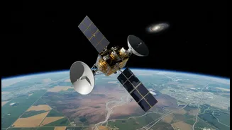
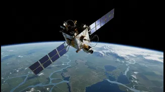
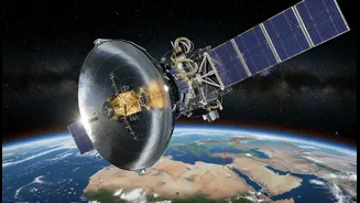
The core of this strategy lies in Earth observation. Hundreds of kilometres above us, a fleet of satellites operated by agencies like the Indian Space Research Organisation (ISRO) acts as a global monitoring system. These are not for exploring Mars, but
for looking back at our own planet with incredible precision. They provide a constant stream of data on critical climate indicators, including rising sea levels, atmospheric carbon dioxide, melting glaciers, and changing rainfall patterns. This information is the bedrock of modern climate science, allowing us to understand the scale of the crisis and, crucially, to prepare for its impacts. Without these eyes in the sky, our understanding of climate change would be significantly impaired.
From Data to Disaster Management
This satellite data does more than just fill scientific reports; it saves lives and protects livelihoods. ISRO's INSAT and GSAT series, for example, are instrumental in tracking cyclones that form in the Bay of Bengal and the Arabian Sea, enabling accurate early warnings and timely evacuations. Earth observation satellites like Resourcesat and Cartosat generate high-resolution imagery that helps assess changes in forest cover, soil moisture, and urban sprawl. This capability is vital for managing resources, predicting droughts, and planning for floods. For a country as geographically diverse and climate-vulnerable as India, this space-based infrastructure is an indispensable tool for building resilience against extreme weather events.
Why Global Partnerships Are Key
As the recent 'Joint Commission Meeting on Outer Space Cooperation' held in Bengaluru between India and Indonesia highlights, no single nation can monitor the entire planet alone. Climate change is a global problem that requires a global response. International cooperation allows space agencies to share data, coordinate satellite deployments, and avoid redundant efforts. A prime example is the NASA-ISRO Synthetic Aperture Radar (NISAR) mission, a landmark collaboration. This satellite combines technologies from both agencies to map Earth’s surface with centimetre-level accuracy, providing unprecedented insight into processes like glacier retreat, groundwater shifts, and land deformation caused by seismic activity. By making this data freely available, missions like NISAR empower scientists and governments worldwide.
India's Growing Leadership Role
The talks in Bengaluru, which brought together ISRO and Indonesia’s National Research and Innovation Agency (BRIN), underscore India's growing stature as a key player in space-based climate action. India is not just a participant but a leader, offering its technological prowess and satellite data to partner nations. ISRO has a long history of international collaboration, from joint missions with France like MEGHA-TROPIQUES for studying tropical climates, to capacity-building programs like UNNATI, which trains participants from other countries in nanosatellite development at its Bengaluru centre. By leading initiatives like a proposed G20 climate monitoring satellite, India is helping to build a collaborative framework for environmental stewardship, particularly for the benefit of the Global South.