





Peering Beneath the Lunar Dust
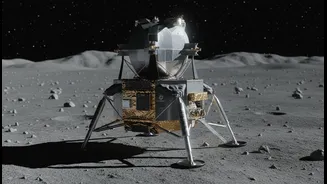
While the Chandrayaan-2 lander's journey ended in 2019, its companion orbiter has been a silent sentinel, meticulously mapping the Moon. Its powerful Dual-Frequency Synthetic Aperture Radar (DFSAR) instrument is the star of this new discovery. Unlike
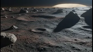
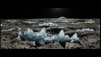
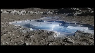
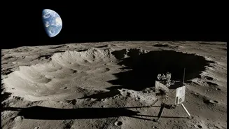
a camera, which needs light, the DFSAR instrument sends microwave signals that penetrate the lunar surface, allowing scientists to 'see' what lies beneath the dust. Recent analysis of this data by scientists at the Physical Research Laboratory in Ahmedabad has revealed strong evidence of water ice buried under the surface in some of the coldest places in our solar system: permanently shadowed craters near the lunar south pole. These regions, some of which are 'doubly shadowed' inside other craters, never see sunlight and have temperatures plunging to around -248 degrees Celsius, creating perfect conditions to preserve ice for billions of years.
More Than Just Ice, It's a Resource Map
Previous missions had already confirmed the presence of water ice on the Moon, but the Chandrayaan-2 findings are a significant leap forward. The DFSAR is the first fully polarimetric radar to study the Moon, meaning it can analyze the reflected signals in much greater detail. Scientists developed a new method using this data to distinguish the unique radar signature of volumetric ice from that of rough, rocky terrain, which can sometimes mimic it. This allows for a more confident identification of not just the presence of ice, but its nature. The data suggests the ice is buried beneath the crater floors rather than being a thin frost on top. One crater in particular, a 1.1-kilometre-wide feature inside the larger Faustini crater, shows especially strong evidence, including a distinctive 'lobate-rim' which suggests an impact may have splashed slushy material outwards before it froze.
De-Risking the Next Giant Leap
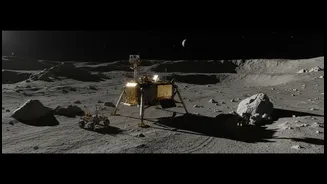
This detailed information is crucial for planning future missions, a process where a safe landing site is paramount. Knowing the precise location and nature of subsurface ice transforms mission planning from a search into a targeted operation. These radar findings provide what is essentially a resource map, highlighting specific, ice-rich zones for future landers. Landing site selection is one of the biggest challenges for any mission, balancing scientific goals with technical constraints like terrain slope, boulder distribution, and sunlight for solar panels. By identifying areas with accessible, buried ice, ISRO and other space agencies can choose landing sites that are not only safe but also scientifically and logistically valuable. This significantly de-risks future missions aiming for in-situ resource utilization (ISRU) — the ability to 'live off the land'.
Powering India's Lunar Ambitions
For India, these findings feed directly into its ambitious lunar roadmap. ISRO's future plans include Chandrayaan-4, a mission designed to land near the south pole, collect samples, and return them to Earth. The data from Chandrayaan-2's orbiter provides an invaluable guide for selecting the optimal landing and sample collection site for this complex mission. Beyond that, the long-term vision includes potentially establishing a sustained human presence on the Moon. Access to water is the cornerstone of such plans. Lunar ice can be processed to provide breathable air, drinking water, and even rocket fuel, drastically reducing the cost and complexity of deep-space exploration. By mapping out these vital resources, Chandrayaan-2 is not just studying the Moon's past; it is actively paving the way for humanity's future on it, with India playing a leading role in the exploration.