






The Old Funding Dilemma
Protecting and restoring a massive, dynamic ecosystem like the Sundarbans is an expensive and complex task. Historically, potential funders—from international bodies to private corporations—faced a significant hurdle: a lack of reliable, large-scale data
to verify the success of restoration projects. It was difficult to answer fundamental questions with certainty. How many planted mangroves actually survived? How much was the forest cover truly increasing? On-the-ground surveys are essential but can be slow, costly, and cover only small areas at a time. This data gap created risk and uncertainty for investors. Without a transparent way to measure the return on their conservation investment, whether in terms of carbon sequestered or hectares restored, many were hesitant to commit the substantial funds required.
A View From Above
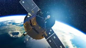
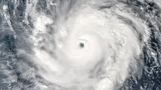
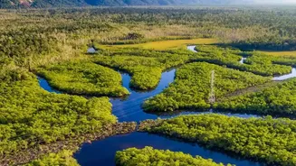
Satellite technology has emerged as a game-changer. Using high-resolution imagery from missions like Landsat and Sentinel, scientists can now monitor the entire Sundarbans landscape with unprecedented detail and frequency. These satellites use different spectral bands, including near-infrared, to assess vegetation health through indices like the Normalized Difference Vegetation Index (NDVI). This allows analysts to distinguish between healthy, dense mangrove forests and degraded areas, track changes over time, and even map the impact of events like cyclones. Radar-based satellite systems can penetrate clouds, providing consistent monitoring and measuring forest structure and biomass, which are crucial for understanding the ecosystem's overall health and carbon storage capacity.
Turning Pixels Into Proof
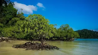
This is where “validation” comes in. Satellite data provides the objective, verifiable proof that funders have been looking for. This process is particularly transformative for the burgeoning 'blue carbon' market. Mangrove forests are incredibly effective at capturing and storing atmospheric carbon dioxide. By using satellite data, project developers can create a transparent and credible ledger of their success. They can quantify the exact area of restored mangroves and model the amount of carbon sequestered over time. This robust Measurement, Reporting, and Verification (MRV) system is the key to unlocking climate finance. It allows restoration projects to generate certified carbon credits, which can then be sold on voluntary or compliance markets to companies looking to offset their emissions.
Building Trust and Attracting Capital
For funders, satellite validation de-risks their investment. The data provides a clear, scientific basis for 'results-based finance', where payments are tied to demonstrable outcomes. This transparency builds trust and accountability, making conservation projects in the Sundarbans a more attractive proposition for a wider range of investors, including those focused on Environmental, Social, and Governance (ESG) criteria. With a reliable method to prove impact, organisations can secure long-term funding agreements, enabling them to move beyond short-term planting drives and towards sustained, landscape-scale ecosystem recovery. This creates a powerful, self-sustaining cycle: successful, validated restoration attracts more funding, which in turn allows for more ambitious and impactful conservation work.