




An Unblinking Eye in Orbit
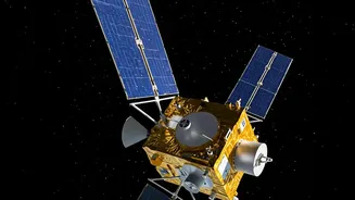
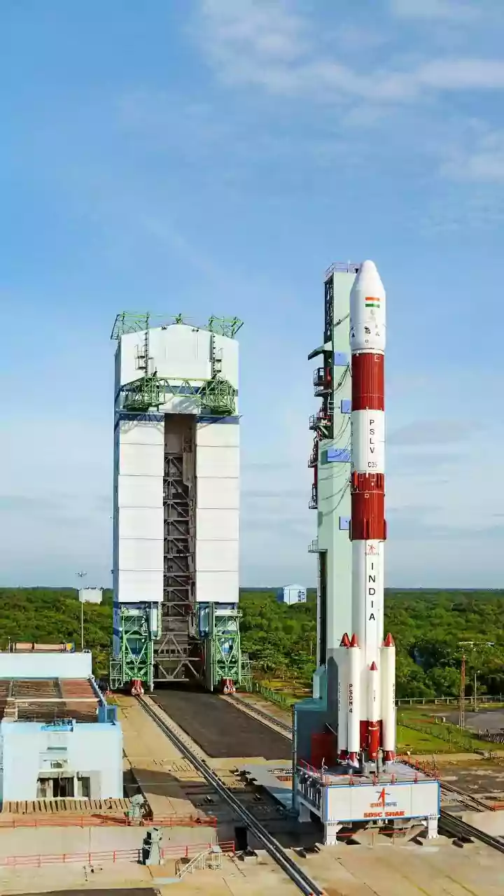
On September 4, 2026, ISRO is scheduled to launch its EOS-05 satellite aboard a GSLV-F17 rocket from the Satish Dhawan Space Centre in Sriharikota. Known as a Geo Imaging Satellite (GISAT), EOS-05 is a state-of-the-art Earth observation satellite designed
with a clear primary objective: to provide continuous, high-frequency imaging of the Indian subcontinent. This isn't just another satellite; it represents a significant strategic enhancement of India's ability to monitor its land and borders, with a special focus on tracking natural disasters and weather phenomena as they unfold. Its mission is to be a constant sentinel, offering a stream of data to help authorities on the ground make critical decisions faster than ever before.
The Geostationary Advantage
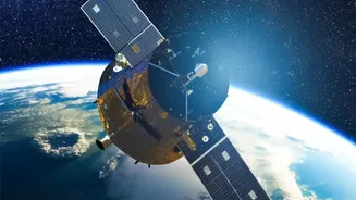
What makes EOS-05 a game-changer is its orbit. Most Earth observation satellites operate in a Low Earth Orbit (LEO), circling the globe and passing over a specific location only at certain times. EOS-05, however, will be placed in a geostationary orbit, approximately 36,000 kilometres above the equator. At this altitude, the satellite's orbital period matches the Earth's rotation. The result is that it remains in a fixed position relative to the surface below, allowing it to stare at the same vast region—the entire Indian subcontinent—continuously. This 'persistent gaze' capability eliminates the waiting time associated with LEO satellites, which is crucial when dealing with rapidly evolving situations like a developing cyclone or a flash flood.
From Data to Life-Saving Decisions
The true power of EOS-05 lies in its speed. The satellite is expected to be capable of imaging the entire country at regular intervals of about 30 minutes. For specific areas of interest, this revisit time could be as short as five minutes. This near-real-time data stream will be invaluable for disaster management agencies. For instance, during a major flood event, authorities can receive frequent updates on the extent of inundation, helping them direct rescue teams more effectively. For cyclones, the satellite can track the storm's formation, intensity, and path with high precision. This rapid and repeated observation will enable agencies to issue more accurate and timely warnings, giving communities more time to prepare and evacuate, ultimately saving lives and property.
A Second Chance for a Key Mission
The upcoming launch also carries strategic and emotional significance for ISRO. EOS-05 is essentially the successor to the GISAT-1 mission (also known as EOS-03), which was lost during a launch failure in August 2021 when the rocket's cryogenic upper stage malfunctioned. For the past five years, ISRO has worked to analyse the failure and prepare for this new attempt. The launch of EOS-05 represents the agency's perseverance and its commitment to establishing this critical continuous observation capability. A successful mission will not only deliver a vital national asset but will also mark a triumphant return for the ambitious GISAT concept.
Bolstering a Robust Satellite Network
EOS-05 does not work in isolation. It joins and enhances India's already formidable constellation of Earth observation satellites. ISRO already operates a range of satellites that serve disaster management, including the RISAT series, which uses Synthetic Aperture Radar (SAR) to see through clouds and darkness—a crucial capability during monsoons. Furthermore, the powerful joint NASA-ISRO mission, NISAR, is designed to provide incredibly detailed all-weather data on land surface changes. EOS-05 adds a unique and complementary layer to this system. While radar satellites provide all-weather imaging, EOS-05 will deliver high-frequency, wide-area visual and infrared data, offering a different but equally vital perspective for monitoring the environment and responding to emergencies.