



India’s Current Eyes in the Sky
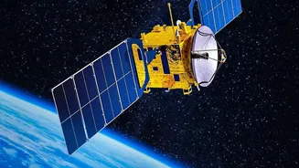
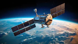
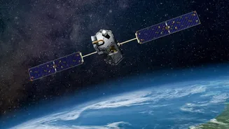
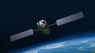
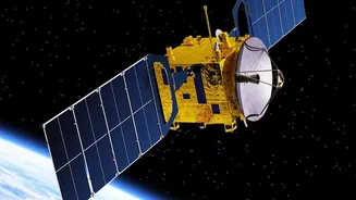
For decades, India has relied on a sophisticated network of satellites to monitor its notoriously complex weather patterns. The backbone of this system has been the Indian National Satellite (INSAT) series, a fleet of multipurpose geostationary satellites.
These sentinels, including the advanced INSAT-3D and INSAT-3DS, provide a constant stream of data to the India Meteorological Department (IMD). Positioned in a geostationary orbit, they stay locked over the Indian subcontinent, offering uninterrupted coverage. They are equipped with advanced instruments like multi-spectral imagers and sounders, which do more than just take pictures. They measure critical variables like cloud top temperature, sea surface temperature, and atmospheric moisture, providing the essential ingredients for modern weather forecasting. This continuous monitoring has already transformed disaster management, especially in providing early warnings for cyclones and other severe weather events.
The Next Generation: A Leap in Precision
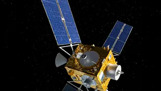
While a specific satellite named 'EOS-05' for weather is a concept for what's next, the capabilities it represents are the focus of ISRO's ambitious future. The goal is to move beyond just observation to near real-time, high-resolution monitoring. Future satellites are expected to feature even more advanced payloads, such as hyperspectral sounders. Unlike current multispectral imagers that see in several channels, a hyperspectral sounder can see in thousands of channels, providing a much more detailed vertical profile of the atmosphere's temperature and humidity. Another significant upgrade could be the inclusion of a Lightning Imager. This instrument can detect and map lightning strikes in real-time, offering critical insights into the intensity and development of storms. Combined, these technologies would provide an unprecedented, three-dimensional view of the atmosphere.
Forecasting at the Speed of Weather
So, what do these advancements mean for the average person? The most significant impact will be on the speed and accuracy of forecasts. With instruments providing data refreshes every few minutes instead of every 15 or 30, meteorologists can engage in 'nowcasting'—predicting weather in the immediate short term with much greater confidence. This is crucial for tracking rapidly developing severe weather like thunderstorms, hail, and flash floods. For a country prone to powerful cyclones, this capability is a game-changer. Enhanced satellites can better estimate a cyclone's intensity and track its path with higher precision, allowing for more timely and targeted evacuations, saving lives and property. The ability to create detailed 3D models of the atmosphere will also dramatically improve the numerical weather prediction models that are the foundation of all modern forecasting.
Beyond the Daily Forecast
The benefits of next-generation Earth observation extend far beyond just telling you whether to carry an umbrella. For India’s agriculture-dependent economy, the impact will be profound. Satellites can provide granular data on soil moisture, crop health, and water stress, enabling smarter farming practices and more accurate yield predictions. This helps farmers make informed decisions about when to plant, irrigate, and harvest. Furthermore, enhanced monitoring of snow cover in the Himalayas can lead to better management of water resources for the millions who depend on glacier-fed rivers. In disaster management, these satellites will be invaluable for monitoring floods, forest fires, and droughts in near real-time, allowing for a quicker and more effective response.