



A Landscape Built for Disaster
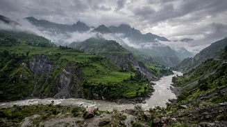
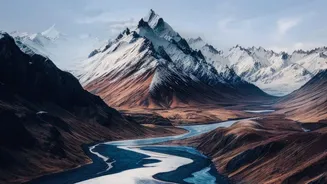
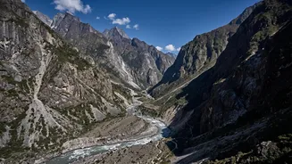
The core of Nepal's flood risk lies in its fundamental geography. The country is home to geologically young and fragile Himalayan terrain. This means its slopes are exceptionally steep, and its valleys are often narrow and deep. When heavy rainfall occurs,
these steep gradients don't just guide the water; they accelerate it. Small streams can transform into raging torrents in minutes, funnelling immense volumes of water into constricted channels. This concentration of fast-moving water, often carrying rocks and debris, gives flash floods their destructive power, leaving little time for communities to respond. This natural vulnerability is a constant threat, turning the seasonal monsoon into a period of high alert each year.
The Monsoon's Intense Arrival
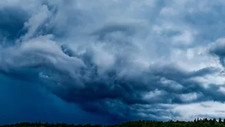
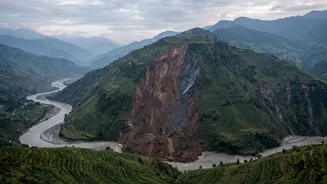
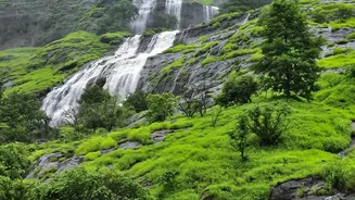
Around 80% of Nepal's annual rainfall occurs during the monsoon season from June to September. This concentration of precipitation is a major trigger for both floods and landslides. In recent years, climate change has made these rainfall patterns more erratic and intense. Instead of steady rain, the country is seeing more extreme downpours over short periods. This overwhelms the natural drainage capacity of the soil, which is often already saturated. On fragile slopes, this saturation can remove the friction that holds soil and rock in place, triggering devastating landslides that can block rivers and create natural dams. When these temporary dams burst, they release a sudden, catastrophic surge of water and debris downstream.
The Looming Threat of Melting Glaciers
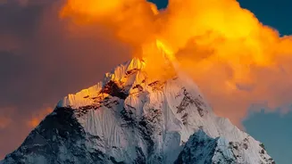
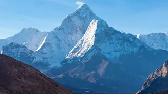
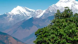
A warming climate introduces another terrifying element: Glacial Lake Outburst Floods (GLOFs). As Himalayan glaciers melt at an accelerated rate, they form vast lakes, often dammed by unstable walls of rock and debris known as moraines. These moraines can fail due to various triggers, including earthquakes, avalanches, or simply the pressure of the growing lake. A GLOF event releases an enormous volume of water in an instant, creating a flood wave far larger than one from rainfall alone. These events are an insidious danger, capable of wiping out entire villages, bridges, and critical infrastructure like hydropower plants located in the valleys below. With dozens of potentially dangerous glacial lakes identified in Nepal, GLOFs represent a significant and growing threat.
The Human Factor
While nature sets the stage, human activities have significantly increased the risk and severity of floods. Deforestation, particularly on hillsides, removes the tree roots that bind soil and absorb rainwater, increasing the likelihood of landslides and surface runoff. Furthermore, rapid and often unplanned urbanization has led to construction on natural floodplains, putting more people and property directly in harm's way. The construction of roads and other infrastructure, if not done with proper geological and environmental consideration, can further destabilize fragile slopes and alter natural drainage paths, inadvertently making surrounding areas more vulnerable.
A Cascade of Consequences
The result is a devastating chain reaction where one hazard triggers another. An earthquake can cause a landslide, which blocks a river, leading to a flood. Intense rain can saturate a deforested slope, causing a mudslide that engulfs a village. The impacts are profound, leading to loss of life, displacement of communities, and destruction of agricultural land and critical infrastructure like roads and power plants. The very terrain that makes floods so dangerous also severely hampers rescue and relief operations, making it incredibly difficult to reach isolated communities cut off by destroyed roads and bridges. This combination of factors makes Nepal one of the most disaster-prone countries in the world.