







What Is GRITSS?
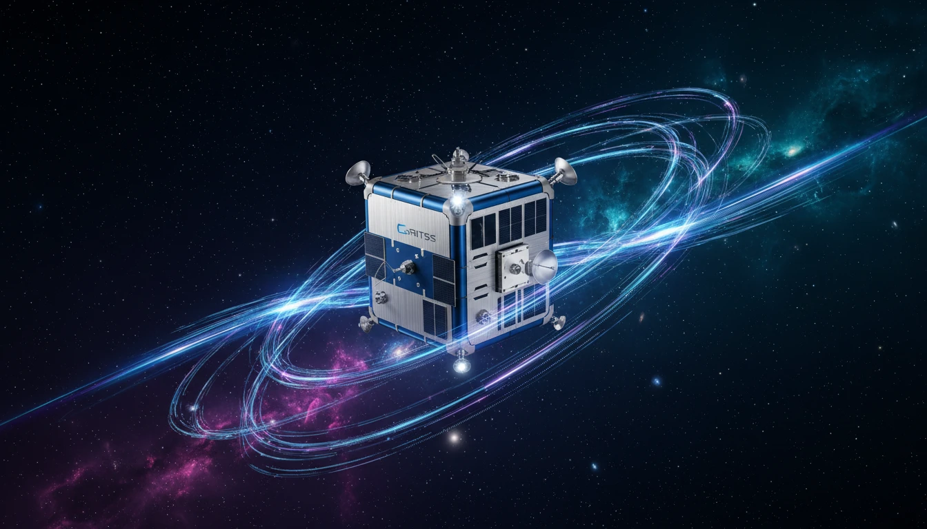
GRITSS stands for Geodetic Reference Instrument Transponder for Small Satellites. Launched in early July 2026, it is a technology demonstration mission featuring a satellite about the size of a suitcase. The project is a collaborative effort involving
NASA, the University of Massachusetts Lowell, and the Dutch small-satellite company ISISPACE. At its core, GRITSS is designed to solve a long-standing, nagging problem for the scientists who measure our planet with incredible precision. Its goal is to act as a universal translator in space, unifying different measurement systems to create a more accurate and integrated understanding of Earth.
The Millimetre Problem
For decades, scientists have relied on three main techniques to map the Earth and track its changes: Satellite Laser Ranging (SLR), Very Long Baseline Interferometry (VLBI), and the Global Navigation Satellite System (GNSS), which includes the familiar GPS. Each system is powerful, but they operate independently. When scientists try to combine the data from these separate networks, tiny but significant errors and discrepancies arise. These 'site tie' errors, often just a few millimetres, can limit the accuracy of the global model of our planet. GRITSS is designed to eliminate these errors by acting as a single, common reference point in space that can be observed by all three systems at the same time.
A Universal Translator in Space
The GRITSS satellite carries a unique payload that allows it to communicate with the different ground networks. It has a modified GPS receiver that takes incoming signals, converts them to S-band and X-band frequencies in real-time, and then broadcasts them down to the radio telescopes of the VLBI network. This effectively lets the VLBI stations 'listen' to GPS signals. The satellite is also equipped with a laser retroreflector, a special mirror that allows SLR ground stations to bounce laser beams off it to measure its precise distance. By being a single target for all three systems, it provides a direct space-based link to tie their measurements together, creating one cohesive and ultra-precise dataset.
Improving the Planet's Blueprint
The ultimate goal of the GRITSS mission is to improve the International Terrestrial Reference Frame (ITRF). Think of the ITRF as the planet's fundamental blueprint—a highly accurate global grid system that underpins nearly all Earth observation. It is the framework that allows us to precisely track everything from continental drift and sea-level rise to the wobble of the Earth on its axis. Currently, inaccuracies in tying the different observation techniques together are the main limitation on the ITRF's precision. By creating a more stable and accurate reference frame, with a goal of one-millimetre accuracy, GRITSS will enhance our ability to monitor the subtle but critical changes associated with our dynamic planet.
Real-World Impact
A more precise understanding of Earth's surface has significant real-world benefits. Enhanced data will allow scientists to better differentiate between land sinking and seas rising, leading to more accurate models of sea-level change. It will improve our ability to monitor the planet's freshwater distribution, track the melting of ice sheets, and understand complex ocean-climate cycles like El Niño. Furthermore, the improved accuracy of the ITRF trickles down to all applications that rely on GPS and other navigation systems. This includes everything from precision agriculture and autonomous vehicle navigation to infrastructure monitoring, all of which will become more robust and reliable.