




What Exactly Is Remote Sensing?
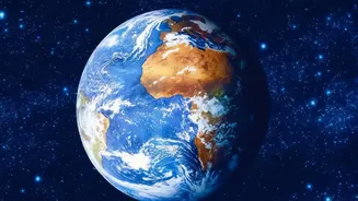
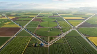
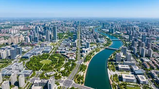
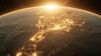
Think of it as taking a picture of the Earth from a very, very great distance. Remote sensing is the science of obtaining information about our planet's surface without actually being in contact with it. This is done using sensors on satellites or aircraft.
These sensors detect and measure radiation that is reflected or emitted from the Earth's surface, creating detailed images. It's like a doctor using an X-ray to see inside a patient without making an incision. In this case, the 'patients' are our rivers, mountains, and plains, and the 'X-ray' is a stream of data from space helping us understand what's happening on the ground.
How Satellites Spot a Flood
When a flood occurs, seeing the extent of the damage is critical for rescue and relief. Optical satellites, which capture images like a regular camera, can show the spread of water, but they have a major weakness: clouds. Floods are often caused by heavy rain, meaning the view from space is usually obscured. This is where Synthetic Aperture Radar (SAR) technology comes in. SAR sensors can penetrate through clouds and can operate day or night. They work by sending microwave signals to the ground and measuring the echoes that bounce back. Water reflects these signals differently than dry land, allowing SAR to create a clear map of inundated areas, regardless of the weather. This data helps authorities see exactly which villages and infrastructure are affected.
Predicting Landslides from Space
While predicting earthquakes remains a challenge, remote sensing offers powerful tools for landslide monitoring and even forecasting. Satellites can’t predict the exact moment a landslide will happen, but they can identify warning signs. High-resolution imagery helps create detailed inventories of past landslides and map out landslide-prone zones. More advanced techniques involve using radar satellites to detect subtle, millimetre-level changes in the ground surface over time. This slow deformation can be a precursor to a slope failure. By combining this data with information on rainfall, soil moisture, and land use, scientists can create hazard maps that flag areas at high risk, providing crucial time for warnings and evacuations.
India's Eyes in the Sky
India has a robust disaster management support programme driven by the Indian Space Research Organisation (ISRO). The National Remote Sensing Centre (NRSC) in Hyderabad is the key agency responsible for acquiring and processing satellite data for this purpose. ISRO operates a fleet of earth observation satellites, like those in the Resourcesat and Cartosat series, which provide high-resolution imagery. This data is funnelled into platforms like the Bhuvan geoportal, an online tool that provides near real-time information on floods, forest fires, and landslide hazard zones to disaster management authorities. In recent years, ISRO has also implemented projects like the Satellite Integrated Landslide Assessment and Alert System (SILAAS) in vulnerable regions like Jammu and Kashmir.
From Data to Action
Receiving a satellite image is just the first step. The true value lies in turning this data into actionable intelligence. When a disaster strikes, ISRO and NRSC provide near real-time maps and analyses to national and state disaster management authorities, including the National Disaster Response Force (NDRF). These maps help response teams understand the disaster's scale, identify safe routes for evacuation, pinpoint where to set up relief camps, and assess damage to critical infrastructure like roads and bridges. This information is shared through the National Database for Emergency Management (NDEM), which acts as a central hub for geospatial data to support decision-making during emergencies.
The View Isn't Always Perfect
Despite its power, remote sensing has limitations. The revisit time of a satellite—the time it takes to pass over the same spot again—can be a factor. While a constellation of satellites improves frequency, there can still be gaps in coverage. Atmospheric conditions like heavy cloud cover can still hamper optical sensors. Furthermore, the data requires expert interpretation and needs to be combined with ground-level information (known as 'ground-truthing') for maximum accuracy. It's a powerful tool, but not a magic bullet. Technology provides the view, but effective disaster management requires a coordinated effort between scientists, administrators, and first responders on the ground.