





Creating a Digital Twin of Nature
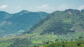
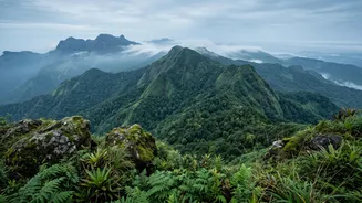
At the heart of this initiative is the systematic documentation of Kerala's rich biodiversity. Led by the Kerala State Biodiversity Board (KSBB), this isn't just about counting trees. It involves creating comprehensive, digitised People's Biodiversity Registers
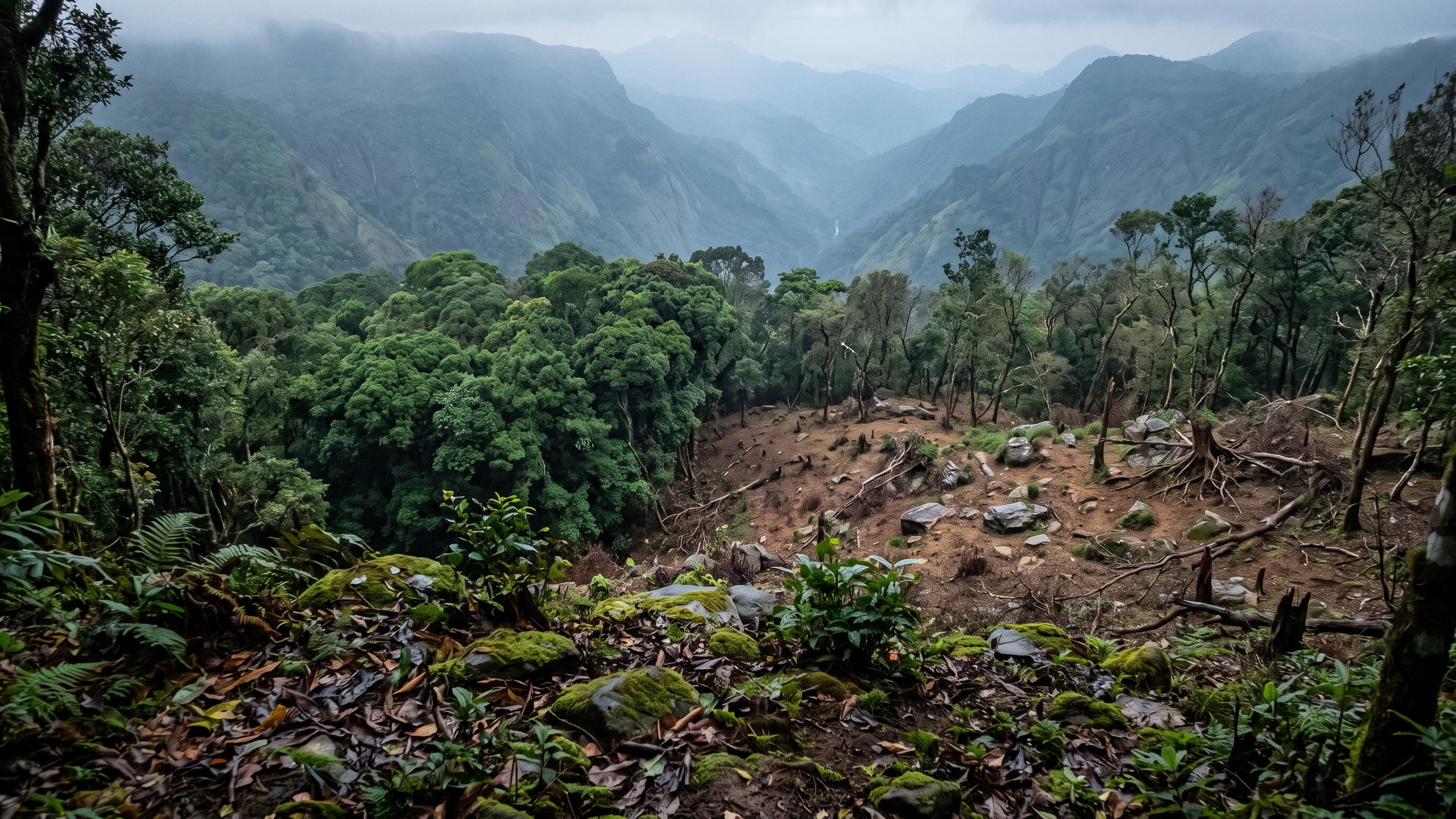
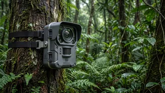
(PBRs). These are detailed records, compiled with the help of local communities, that document everything from the topography and water bodies to native plant and animal species, and even the traditional knowledge associated with them. Recently, projects like the 'Comprehensive Red List Assessment of Ecosystems' have been launched to evaluate the health of entire ecosystems—from high-altitude grasslands to coastal mangroves—using scientific frameworks to identify which are most at risk of collapse. This creates a detailed, searchable database, essentially a digital twin of the state's natural wealth, which serves as a crucial baseline for all conservation and development planning.
Smarter Farming Through Better Data
This detailed ecological data directly translates into a more resilient agricultural sector. For a state where land use is under immense pressure, knowing precisely what to grow where is critical. By delineating agro-ecological zones based on factors like soil type, rainfall, and altitude, planners can promote the cultivation of the most suitable crops. This scientific approach helps farmers choose indigenous and climate-resilient crop varieties that are naturally adapted to local conditions, reducing the need for excessive fertilisers and irrigation. The mapping also identifies and helps protect crucial pollinators and the genetic diversity of native crops and livestock, like Vechur cattle, which is essential for long-term food security. This data-driven strategy supports a shift away from monocultures toward more diverse, sustainable farming systems that are better equipped to handle climate shocks.
Securing Kerala’s Water Lifelines
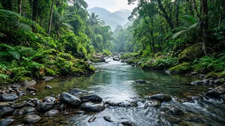
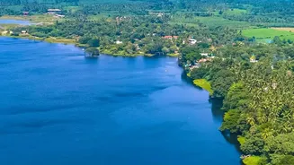
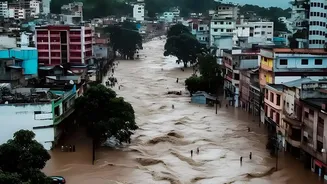
Water security is intrinsically linked to the health of the surrounding ecosystem. Kerala's landscape, with its numerous rivers, lakes, and wetlands, serves as a vital lifeline for its dense population. Mapping these ecosystems—identifying critical watersheds, groundwater recharge zones, and natural drainage patterns—is the first step toward protecting them. For instance, documenting and conserving upland lakes in Wayanad helps ensure groundwater replenishment for downstream communities, while protecting the state's largest freshwater lake, Sasthamkotta, secures drinking water for the entire Kollam region. This knowledge allows local governments to make informed decisions, preventing unplanned construction that could disrupt natural water flows and lead to both flooding and water scarcity. By understanding the intricate connections between forests, wetlands, and rivers, the state can better manage its water resources for both agricultural and domestic needs.
A Community-Powered Defence
Crucially, this is not a top-down exercise. The success of these mapping initiatives hinges on the active participation of local communities. Through Biodiversity Management Committees (BMCs), which are operational in all of the state's 1,200 local governments, citizens are directly involved in documenting the resources in their own backyards. This grassroots approach ensures that traditional knowledge, passed down through generations, is recorded and valued. It also fosters a sense of ownership and shared responsibility for conservation. When local farmers, fisherfolk, and students participate in data collection—from tracking rainfall to mapping flood risks—they are not just providing information; they are becoming frontline stewards of their environment, building resilience from the ground up.