







The Pacific's Warm Secret: What is El Niño?
El Niño, which means 'the little boy' in Spanish, is a naturally occurring climate pattern. It is the warm phase of a larger phenomenon called the El Niño-Southern Oscillation (ENSO). During an El Niño event, the surface waters in the central and eastern
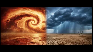
tropical Pacific Ocean become unusually warm. This isn't just a local temperature change; this massive shift of ocean heat releases energy into the atmosphere, powerful enough to disrupt weather patterns across the globe, including the intricate system that governs India's monsoon. These events typically happen every two to seven years and can last for nine to twelve months, often reaching peak intensity between November and February.
A Global Domino Effect: The Walker Circulation
To understand El Niño's long-range impact, we need to know about the Walker Circulation. Think of it as a giant atmospheric conveyor belt over the Pacific. Under normal conditions, strong trade winds blow from east to west, pushing warm surface water towards Asia and Australia. This warm water heats the air above it, causing it to rise and form a persistent low-pressure system over the western Pacific and Indian Ocean region, which aids in drawing monsoon winds towards India. During an El Niño, these trade winds weaken. The warm water that is normally piled up in the west sloshes back eastwards. This reverses the entire circulation pattern. The area of rising air and low pressure shifts away from the Indian Ocean region, and is replaced by sinking, drier air, effectively putting a lid on the moisture supply.
How El Niño Dampens India's Monsoon
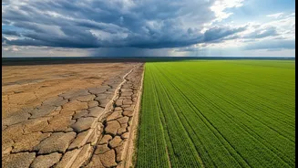
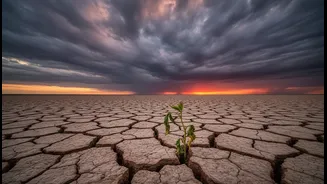
When the Walker Circulation is disrupted by El Niño, the consequences for India can be severe. The weakening of the low-pressure system over the Indian Ocean region means the engine that pulls moisture-laden winds from the sea onto the subcontinent sputters. This connection is so strong that El Niño years are historically associated with suppressed monsoon rainfall and a higher probability of drought conditions across many parts of India. The impact isn't just on agriculture; a weak monsoon affects everything from reservoir levels for drinking water and hydropower generation to the broader economy. As of early July 2026, a strengthening El Niño was already being linked to a significant rainfall deficit and reduced hydropower output in India.
The Wild Card: The Indian Ocean Dipole
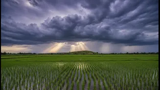
However, the El Niño-monsoon relationship isn't a simple one-to-one correlation. An El Niño does not automatically guarantee a drought in India. Meteorologists must also watch another, more local phenomenon: the Indian Ocean Dipole (IOD), sometimes called the 'Indian El Niño'. The IOD refers to the temperature difference between the western Arabian Sea and the eastern Indian Ocean. During a 'positive' IOD, the Arabian Sea becomes warmer than average, which can create a low-pressure system that actively pulls moisture towards the Indian subcontinent. A strong positive IOD can sometimes counteract the negative effects of an El Niño, rescuing the monsoon from failure. This happened in 1997, when a super El Niño's impact was neutralised by a strong positive IOD.
Forecasting the Lifeline of India
For the India Meteorological Department (IMD), forecasting the monsoon is a monumental task that begins months in advance. The IMD uses a combination of complex statistical and dynamic models that weigh several global and regional predictors. The state of the ENSO cycle is one of the most critical inputs into these long-range forecast models. By monitoring sea surface temperatures in the Pacific, meteorologists can gauge the probability of an El Niño or its counterpart, La Niña (which often brings enhanced rainfall), developing. This information, combined with data on factors like the IOD, Eurasian snow cover, and sea-level pressure, allows the IMD to issue its crucial two-stage monsoon forecast each year, giving the nation vital time to prepare.