






The Challenge of the Monsoon
Every year, the Indian monsoon brings life-giving rains that are essential for agriculture, replenishing water reservoirs and driving the economy. However, it also brings the threat of extreme weather events. Cyclones, flash floods, and intense rainfall
can cause widespread destruction, leading to loss of life and property. For decades, accurately predicting the formation and path of these intense storm systems has been a monumental challenge. Conventional weather satellites, while useful, have limitations. Their vision can be obscured by the very clouds they are trying to track, especially during the dense overcast conditions typical of the monsoon. This makes it difficult to get a clear picture of a storm's structure and intensity, which can delay warnings and hinder effective disaster response.
ISRO’s New Eye in the Sky
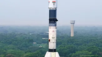
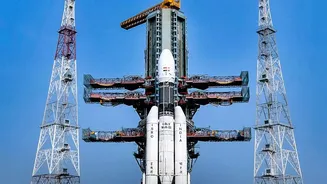
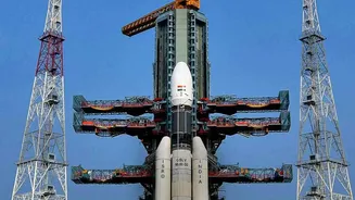
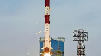
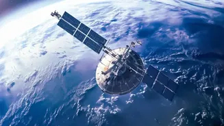
The Indian Space Research Organisation (ISRO) is tackling this challenge with a powerful upgrade to its satellite capabilities: high-resolution Synthetic Aperture Radar (SAR). Unlike traditional optical satellites that are like a human eye and need daylight and clear skies, SAR technology can see through clouds, fog, and darkness. This all-weather, day-and-night capability is a game-changer for monitoring the turbulent monsoon. Satellites in the Radar Imaging Satellite (RISAT) series, along with the recent joint NASA-ISRO mission NISAR, are at the forefront of this technological leap. These satellites don't just take pictures; they send out microwave pulses and analyse the signals that bounce back, creating detailed images of the Earth's surface and atmospheric phenomena.
How High-Resolution Radar Works
What makes the new radar systems so special is their resolution and frequency. SAR can produce incredibly detailed images, capable of detecting changes on the ground as small as a few centimetres. By using different radar frequencies, like the L-band and S-band on the NISAR satellite, scientists can penetrate different levels of vegetation and even measure soil moisture. This is crucial for understanding flood potential. For storm tracking, high-resolution radar can map the three-dimensional structure of clouds, measure wind speeds over the ocean, and identify the water content within a storm system with unprecedented accuracy. This detailed information allows meteorologists to understand not just where a storm is, but how it's developing and how powerful it might become.
From Faster Data to Better Warnings
The true benefit of this advanced technology lies in speed. With satellites like NISAR revisiting the same spot on Earth every 12 days and the ability to get images within hours of an event, the flow of data is more continuous than ever. This rapid refresh rate allows the India Meteorological Department (IMD) to track the rapid intensification of cyclones and monsoon depressions in near-real time. By assimilating this high-quality data into weather models, the accuracy of forecasts improves significantly. The result is early warnings that are not only faster but also more reliable and specific. This gives disaster management agencies more lead time to prepare, evacuate vulnerable populations, and position resources where they are needed most.
A Game-Changer for All Indians
The impact of better monsoon forecasting extends far beyond a weather report. For farmers, more accurate information on rainfall patterns helps in making critical decisions about sowing and harvesting, protecting their livelihoods. For fishermen, reliable warnings about rough seas and approaching storms are a matter of life and death. In urban areas, precise forecasts of heavy downpours can enable authorities to manage reservoirs and drainage systems to mitigate flooding. This technological advancement represents a crucial step towards building a more climate-resilient India. By harnessing the power of its own space program, the nation is better equipping itself to handle the uncertainties of its most vital, and volatile, weather phenomenon.