





An Ever-Watchful Eye From Orbit
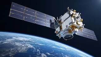
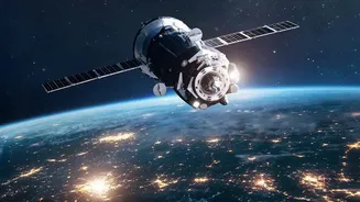
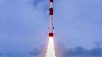
For decades, India has relied on a sophisticated fleet of satellites to monitor its land, oceans, and atmosphere. The Earth Observation Satellite program is the backbone of this capability, a continuous effort by ISRO to launch progressively advanced
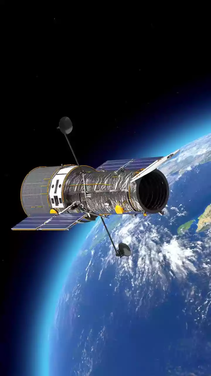
satellites that serve as critical national infrastructure. These are not just cameras in space; they are complex instruments designed for specific tasks that impact the lives of every citizen. From the INSAT series providing meteorological data to the Resourcesat satellites mapping land use, each launch builds upon the last, adding new layers of data and improving the precision of insights available to scientists and policymakers on the ground. The goal has always been to use space technology for national development, and the EOS program is a prime example of that vision in action.
Sharpening Weather Forecasts and Saving Lives
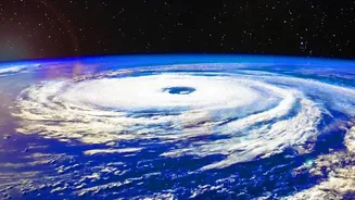
One of the most critical applications of ISRO's EOS fleet is improving weather prediction and disaster management. Satellites like those in the INSAT and Oceansat series constantly monitor cloud cover, sea surface temperatures, and wind speeds over the vast Indian Ocean. This stream of data is fed directly to the India Meteorological Department (IMD), forming the basis for cyclone forecasting. The ability to detect the formation of a cyclone, predict its path and intensity, and issue timely warnings has saved countless lives. But the technology goes further. Radar imaging satellites, such as those in the RISAT series, have a unique superpower: they can see through thick clouds and heavy rain. This all-weather, day-and-night capability is invaluable during extreme monsoon events, allowing authorities to map the extent of flooding in real-time and direct rescue operations to the worst-affected areas.
Transforming Farming from Space
Beyond the coastline and storm clouds, ISRO's satellites play a transformative role in India's fields. Agriculture, the backbone of the Indian economy, benefits immensely from this space-based technology. Through a program known as FASAL (Forecasting Agricultural output using Space, Agro-meteorology and Land-based observations), satellite data is used to generate pre-harvest production estimates for major crops like rice, wheat, and cotton. By analysing imagery, experts can estimate the total area under cultivation, monitor the health of crops by detecting stress from lack of water or pest attacks, and predict the likely yield. This information is vital not just for individual farmers, but for national food security, helping the government make informed decisions about food storage, distribution, and pricing. This 'precision agriculture' helps optimise the use of resources like water and fertiliser, making farming more sustainable and resilient.
The Next Generation of Observation
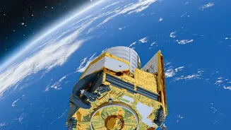
ISRO is constantly pushing the boundaries of what is possible. Upcoming missions are set to further enhance these capabilities. A key example is the NASA-ISRO Synthetic Aperture Radar (NISAR) mission, a collaborative project that will be the first of its kind to systematically map the Earth using two different radar frequencies. This will allow for incredibly detailed measurements of changes in the planet's surface, down to less than a centimetre. The applications are vast, from monitoring groundwater levels and glacier melt to assessing damage from earthquakes and landslides. By providing a more dynamic and detailed picture of Earth's ecosystems and dynamic surfaces, missions like NISAR will provide an unprecedented level of data for managing natural resources and responding to the challenges of climate change.