




The Challenge of a Changing Coastline
India’s extensive coastline is a dynamic and vital economic and ecological zone, but it is under immense pressure. Rising sea levels and increasingly intense weather events, both linked to climate change, are accelerating coastal erosion. For the millions
who live and work by the sea, this isn't an abstract threat; it means the loss of land, homes, and livelihoods. For decades, monitoring this erosion has been a significant challenge. Traditional ground surveys are often time-consuming and limited in scope. While satellite technology has offered a broader view, it has its own blind spots, creating an incomplete picture of a complex and urgent problem.
The View from Above: What Satellites See
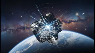
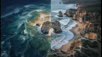
Satellites provide a crucial, large-scale perspective on coastal change. With incredible consistency, they can map shorelines, measure rates of land loss, and monitor changes in sediment patterns across vast areas. This technology allows researchers to see gradual changes over decades, providing quantitative data that is essential for understanding the physical processes at play. However, this high-tech view has limitations. Satellites can struggle to capture what’s happening beneath the water's surface, and the data, while extensive, often lacks historical context beyond the last few decades. A satellite can show that a shoreline is receding, but it can't explain the subtle, long-term ecological shifts that a local fisher might have observed over a lifetime.
Wisdom of the Tides: The Power of Indigenous Knowledge
This is where Traditional Ecological Knowledge (TEK) becomes indispensable. For generations, coastal communities have accumulated an incredibly detailed understanding of their local environment. This knowledge, passed down orally and through direct experience, is a living library of data on tides, currents, species behaviour, and historical weather patterns. Indigenous communities were among the first to notice the signs of climate change because of their intimate connection to the land and sea. This knowledge is not just anecdotal; it is a systematic and holistic understanding of interconnected systems that Western science is only beginning to appreciate. It provides the crucial 'ground-truthing' and historical depth that satellite images alone cannot offer.
A 'Two-Eyed Seeing' Approach
The most effective research combines these two powerful ways of knowing in an approach sometimes called 'Two-Eyed Seeing'—viewing the world through the strengths of both Indigenous and Western science. In practice, this collaboration can take many forms. For example, researchers might use satellite data to identify an area of rapid erosion, then consult with community elders who can provide context based on generations of observation, pointing to changes in local currents or the disappearance of a protective plant species. Conversely, local knowledge can guide scientists on where to focus their high-tech monitoring tools, identifying critical areas for investigation that may have been overlooked. This synergy produces richer, more accurate, and more relevant findings than either system could achieve alone.
Why This Partnership Matters for India
This collaborative model holds immense promise for India. It leads to more robust science and better-informed policy. By integrating local observations, management strategies can be tailored to specific community needs and ecological contexts, making them far more effective. Furthermore, this approach fosters respect and empowers local communities. It recognizes their knowledge as a valuable scientific asset and ensures they are active partners in finding solutions to the problems that directly affect them. In projects from the Americas to Australia, this integration has been shown to enhance climate adaptation strategies and build community resilience. For a nation with a vast and vulnerable coastline, embracing this partnership is not just an option—it’s a necessity for a sustainable future.