



A Partnership for the Planet
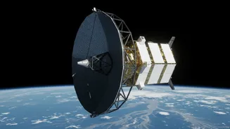
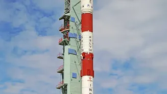
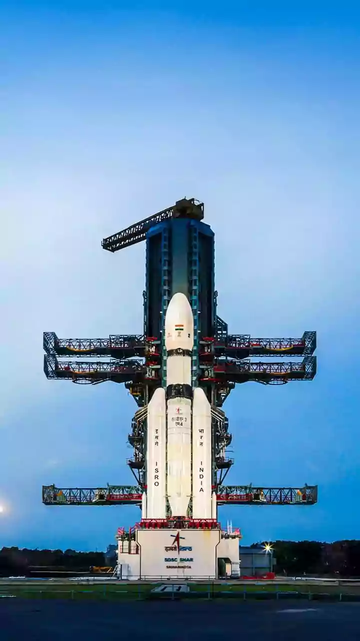
The skies above are now home to a groundbreaking piece of technology born from a partnership between the Indian Space Research Organisation (ISRO) and the National Aeronautics and Space Administration (NASA). The NASA-ISRO Synthetic Aperture Radar (NISAR)
satellite, the world's first dual-frequency radar imaging satellite, is the cornerstone of this collaboration. Launched to monitor changes on the Earth's surface with unprecedented detail, NISAR is proving to be a game-changer for disaster management. While its mission covers everything from volcanic activity to melting glaciers, one of its most immediate and vital applications is in responding to flood emergencies, a frequent and devastating reality for many parts of India. Recently, ISRO announced it was making data from the satellite publicly available, empowering scientists and disaster agencies to harness its power.
Seeing Through the Clouds
The primary challenge in mapping floods, especially during India's monsoon season, has always been the weather itself. Traditional optical satellites are effectively blind when thick clouds cover the landscape. This is where NISAR's technology provides a massive advantage. It uses Synthetic Aperture Radar (SAR), which doesn't rely on light. Instead, it sends microwave pulses to the ground and analyses the signals that bounce back. Calm water surfaces appear dark in SAR imagery, making it highly effective at identifying inundated areas. Crucially, these radar signals can penetrate clouds, rain, and darkness, allowing for uninterrupted, all-weather observation day and night. This means that even in the midst of a severe cyclonic storm, authorities can get a clear picture of the situation on the ground.
From Data to Decisions in Hours
Having the ability to see floods is one thing; turning that data into actionable intelligence quickly is another. This is where the collaboration's focus on speed comes into play. Previously, generating accurate flood inundation maps from satellite data could take several hours, a critical delay during an unfolding disaster. With NISAR, that timeline is being drastically reduced. The data from the satellite, which maps the entire globe every 12 days, is processed using advanced, automated algorithms at ISRO's National Remote Sensing Centre (NRSC). These systems can now generate detailed maps highlighting affected villages, infrastructure, and agricultural lands in just a couple of hours. This near real-time analysis provides a rapid, comprehensive overview that is essential for emergency planners to make informed and timely decisions.
Real-World Impact on the Ground
For organisations like the National Disaster Response Force (NDRF) and state disaster management authorities, this speed and accuracy translates directly into more effective rescue and relief operations. Instead of relying on fragmented, delayed reports from the ground, response teams can be deployed with a clear, satellite-derived map of the disaster zone. These maps help them identify the worst-hit areas, plan safe evacuation routes, and strategically position resources like boats, shelters, and medical supplies. By knowing the precise extent of the water, responders can avoid impassable roads and reach stranded populations more quickly. This leap in situational awareness not only optimises the use of limited resources but, most importantly, helps in saving more lives and reducing the overall impact of the catastrophe.
The Future of Disaster Management
The NISAR mission represents a significant step forward in building climate resilience. Its dual-frequency L-band and S-band radar system offers unique capabilities, including the ability to see through vegetation to detect flooding hidden beneath forest canopies. As climate change is expected to increase the frequency and intensity of extreme weather events, tools like NISAR are no longer just supplementary—they are becoming essential. The open-data policy for the mission ensures that its benefits extend beyond government agencies to researchers and innovators who can develop new applications. This integration of advanced space technology into mainstream disaster management frameworks is setting a new global standard, promising a future where data from space provides a vital shield for communities on Earth.