

Shared Rivers: A Lifeline and a Threat
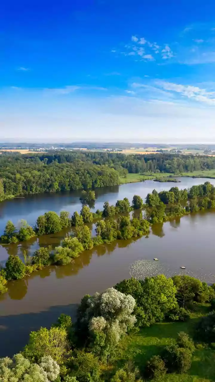
The fates of Nepal, Bihar, and Uttar Pradesh are intertwined by a network of mighty rivers that originate in the high Himalayas. Major river systems like the Kosi, Gandak (called Narayani in Nepal), Ghaghara, and Rapti begin their journey in Nepal's steep
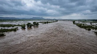
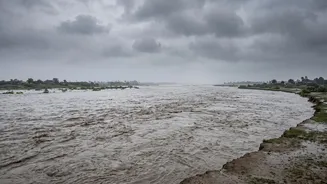
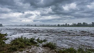
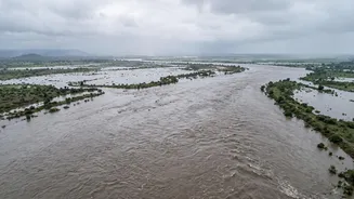
terrain, gathering immense power and volume before flowing down into the flat, densely populated Gangetic plains of India. For much of the year, these rivers are a lifeline, providing water for agriculture and sustaining millions. But during the monsoon season, or following sudden upstream events, they can transform into channels of destruction, carrying floodwaters across the international border with incredible speed and force.
What Triggers a Nepali Flash Flood?
Flash floods in Nepal are triggered by several factors. Intense monsoon rainfall on the fragile, steep slopes of the Himalayas is a primary cause. These downpours can saturate the soil, leading to catastrophic landslides that can dam rivers. When these natural dams inevitably break, they release a massive wall of water downstream. A newer, more alarming threat comes from Glacial Lake Outburst Floods (GLOFs). As climate change warms the Himalayas, glaciers are melting at an accelerated rate, forming vast, unstable lakes dammed by loose rock and ice known as moraines. When these moraines are breached by an earthquake, avalanche, or simply the pressure of the rising water, the result is a sudden, devastating flood, independent of local rainfall. A recent flash flood in Nepal on August 26, 2026, which put Bihar and UP on high alert, is suspected to have been caused by such a GLOF or an ice-rock avalanche in the Tibet-Nepal border region.
The Flood's Path to Bihar and UP
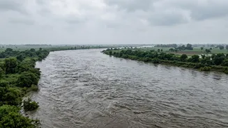
Once a flood surge begins in Nepal, it travels downriver with tremendous momentum. The water rushes through mountain gorges and then spills out onto the Terai plains, a low-lying region that spans the India-Nepal border. As the water reaches the flatter terrain of Bihar and Uttar Pradesh, it spreads out, inundating vast areas. Northern Bihar, in particular, is a massive floodplain. The Kosi River, known as the "Sorrow of Bihar," is infamous for its high sediment load, which causes it to frequently change course and breach its embankments, as seen in the devastating 2008 floods that displaced millions. Districts like West Champaran, East Champaran, Gopalganj, Muzaffarpur, Supaul, Araria, and Kushinagar are particularly vulnerable to floods from the Gandak and Kosi river systems.
The Race for an Early Warning
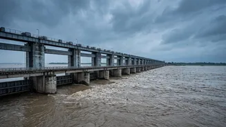
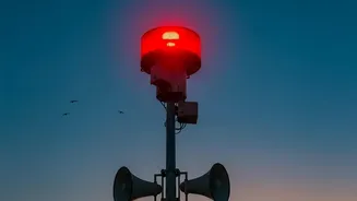
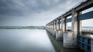
Recognizing the shared threat, India and Nepal have agreements in place for sharing hydrological and meteorological data to provide early warnings. Barrages like the Gandak Barrage at Valmikinagar are critical control points, where all gates can be opened to allow a flood surge to pass through as safely as possible. However, the system faces immense challenges. The sheer speed of a flash flood, especially a GLOF, can leave little time for effective communication and evacuation. While systems using SMS alerts and community radio have proven effective in some areas, gaps in cross-border information sharing and infrastructure can delay crucial warnings. Following the recent floods, authorities in both Bihar and UP have been on high alert, evacuating people from low-lying areas and deploying disaster response teams like the NDRF.
Beyond Embankments: Seeking Long-Term Solutions
For decades, the primary flood control strategy has been to build embankments to contain the rivers. However, experience has shown this is not a foolproof solution. Embankments can be breached, and they also trap sediment, raising the riverbed over time and worsening the impact of future floods when breaches do occur. Experts now advocate for a more holistic approach. This includes better watershed management in the upper reaches of the rivers in Nepal, restoring natural drainage patterns, and enhancing trans-boundary cooperation on real-time data sharing. At the community level, improved early warning systems, regular preparedness drills, and building codes that account for flood risk are essential for building long-term resilience on both sides of the border.