





An Eye in the Sky for Every Field
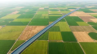
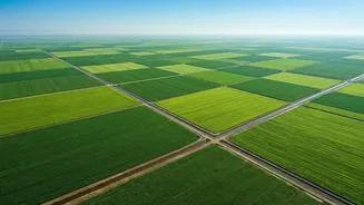
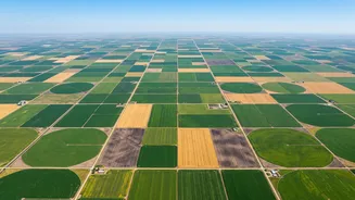
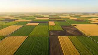
At its core, satellite crop monitoring is a form of precision agriculture that uses data from orbiting satellites to track the health and development of crops. Instead of relying solely on walking the fields, farmers can now get a bird's-eye view of their
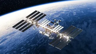
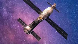
entire land holding, sometimes spanning vast areas. This technology captures high-resolution images that reveal far more than the human eye can see. Satellites operated by agencies like the European Space Agency (like the Sentinel-2 mission) and ISRO photograph every field on Earth at regular intervals, often every few days. The crucial part is that much of this raw data is free and publicly available, making it more accessible than ever before.
From Pixels to Productivity: How It Works
The magic lies in analysing how plants interact with different wavelengths of light. Healthy, thriving vegetation absorbs red light for photosynthesis and reflects near-infrared (NIR) light. By measuring and comparing the reflectance of these light bands, specialised software calculates vegetation indices, with the most common one being the NDVI (Normalized Difference Vegetation Index). A high NDVI value generally indicates a healthy, dense crop canopy, while a low or declining value can signal stress long before it's visible. Other indices can reveal water stress, nitrogen levels, and even where water is sitting in a field after heavy rain. This data is then translated into simple, actionable insights, often delivered to a farmer's smartphone, highlighting specific zones in a field that need attention.
The Tangible Benefits for Indian Farmers
For a country where the majority of farmers are smallholders working on plots of less than two hectares, this technology is a game-changer. It allows for the early detection of issues like pest attacks, nutrient deficiencies, or water stress, enabling farmers to act precisely and quickly. This means applying fertiliser or pesticides only where needed, which saves money on expensive inputs and reduces the environmental impact. Furthermore, it helps in optimising irrigation, a critical factor in a nation facing unpredictable monsoons and water scarcity. Agri-tech startups and government initiatives like Krishi-DSS are now working to make these insights accessible through mobile apps in local languages, bridging the gap between complex data and the farmer on the ground. This empowers them with the same kind of data intelligence once reserved for large, commercial agribusinesses.
Navigating the Hurdles to Adoption
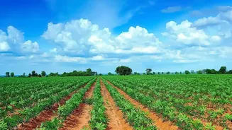
Despite its immense potential, the path to widespread adoption isn't without its challenges. Persistent cloud cover, especially during the crucial monsoon (Kharif) season, can block the view of optical satellites, creating data gaps. This is being addressed by combining optical data with radar-based satellites (like India's RISAT series), which can see through clouds. Another significant barrier is the issue of digital literacy and connectivity in rural areas. Simply having the data isn't enough; farmers need to understand and trust the recommendations. Therefore, the most effective solutions are those where the complex data processing happens in the background, delivering simple, actionable advice. It's also important to remember that satellite monitoring is a tool to extend a farmer's reach, not replace the essential practice of walking the field to verify what the data is suggesting.
The Future Harvest: A Connected Farm
The future of farming powered by satellite monitoring is one of integration and automation. We are moving towards a system where satellite data is combined with information from local weather stations, soil sensors, and even drones to create a comprehensive, real-time picture of the farm. As India's own space-tech ecosystem grows, with plans for new constellations of high-resolution satellites, the quality and frequency of this data will only improve. Advanced AI will further refine the analysis, providing not just alerts but also accurate yield predictions and climate-smart farming strategies. This connected approach will make agriculture more resilient, productive, and sustainable, helping to ensure food security for a growing population.