


The Familiar Monsoon Nightmare
Every year, it’s the same story. A heavy downpour turns a 30-minute commute into a three-hour ordeal. Major arterial roads in cities like Mumbai, Bengaluru, and Chennai become impassable rivers of brown water. Underpasses fill up, vehicles stall, and traffic
grinds to a halt for kilometres. For the urban commuter, the monsoon isn't just an inconvenience; it's a source of immense stress, lost productivity, and genuine safety concerns. Traditional navigation apps, which rely on historical traffic data and predictable road networks, often fall short. They might show a road as clear, failing to account for the two feet of water that has just accumulated, leading drivers directly into trouble.
A Smarter Way to Navigate
Imagine your navigation app not only telling you the fastest route but also the driest one. This is no longer science fiction. A new wave of 'dynamic' mapping technology is specifically designed to tackle the unpredictability of urban flooding. Instead of just showing traffic congestion, these systems integrate real-time information about waterlogging. They can identify which roads are currently flooded, which are at risk, and proactively reroute commuters to safer, clearer alternatives. This isn't about simply avoiding red lines on a map; it's about adding a crucial layer of environmental intelligence to your daily journey.
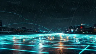
How Does Satellite Tracking Help?
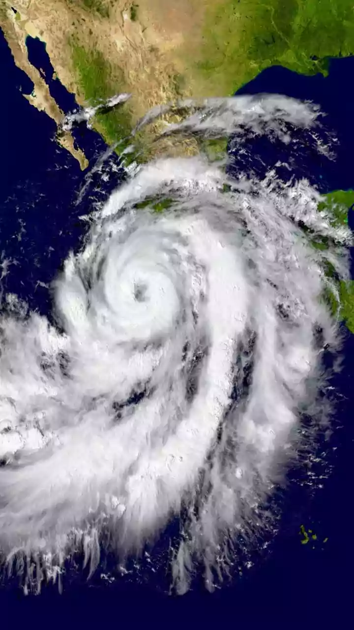
The term 'dynamic satellite tracking' sounds complex, but the concept is straightforward. Satellites equipped with Synthetic Aperture Radar (SAR) play a key role. Unlike normal cameras, SAR can 'see' through clouds and darkness, making it perfect for monitoring conditions during a storm. These satellites can scan a city and detect large areas of standing water that weren't there before. This data, showing the extent of major flooding, provides a bird's-eye view that is impossible to get from the ground. It forms the foundational layer, identifying which large zones and major roads are officially submerged.
It Takes More Than a Satellite
While satellite imagery is powerful, it doesn't capture every waterlogged lane or overflowing drain. That’s where the 'dynamic' part truly comes alive. The best systems fuse satellite data with a variety of other real-time sources. This includes information from municipal bodies about known flood-prone spots and official road closures. It also incorporates weather data to predict where flooding is likely to occur next. Most importantly, it leverages crowdsourcing. When users of an app report a flooded street, that information is instantly used to warn other drivers. This combination of top-down satellite data and bottom-up user reporting creates a highly accurate, constantly updating picture of the city's road conditions.
The Tools in Your Pocket
This technology is already being integrated into apps that millions of Indians use daily. Google Maps, for instance, has been rolling out flood alerts in partnership with government agencies. These alerts appear directly on the map, warning users about waterlogged areas on their route. Indian tech companies like MapmyIndia have also been enhancing their platforms with features that provide real-time updates on road conditions, including waterlogging, based on data from their own devices and user communities. Several municipal corporations are also launching their own dedicated apps during the monsoon season to provide localised, ward-specific information on flooding and alternative routes.
The Future of City Commuting
This is just the beginning. As data collection becomes more sophisticated and AI algorithms get better at prediction, these systems will evolve from being reactive to proactive. They could soon predict which specific underpass is likely to flood in the next hour based on rainfall intensity and tide levels, allowing for preventative rerouting. For city planners, this wealth of data offers an invaluable tool for identifying recurring problem spots and prioritising infrastructure upgrades. By turning every commuter's smartphone into a sensor, cities are building a collective intelligence that makes them more resilient in the face of increasingly extreme weather.