






The Pacific's Normal State
To understand the disruption, we first need to know the normal pattern. Typically, strong trade winds blow from east to west across the tropical Pacific Ocean. These winds push warm surface water towards Asia and Australia. As the warm water piles up near
countries like Indonesia, it heats the air above, creating a persistent area of low pressure with clouds and rain. Meanwhile, in the eastern Pacific, near South America, the departing warm water is replaced by cool, nutrient-rich water from the deep ocean. This normal, balanced state is part of a large atmospheric circulation called the Walker Circulation.
El Niño: The Warm Disruption
El Niño, which means "the boy" in Spanish, turns this system on its head. It occurs when the trade winds weaken or even reverse. Without the strong push westward, the large pool of warm water accumulated in the western Pacific begins to slosh back eastward, towards the coasts of Ecuador and Peru. This shift in warm water changes global weather. The rain follows the warmth, leading to increased rainfall and flooding in parts of the Americas, while areas in the western Pacific, including parts of Asia, experience drier conditions.
El Niño's Risks for India
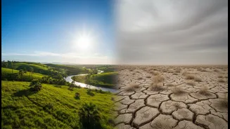
For India, El Niño is often bad news for the monsoon, which is vital for the country's agriculture-dependent economy. The eastward shift of the warm Pacific water weakens the typical monsoon circulation that brings moisture-laden winds to the subcontinent. This suppression frequently leads to below-average rainfall and, in severe cases, drought conditions. Historically, many of India's most severe droughts have occurred during El Niño years. The risks don't stop there. El Niño years are also associated with warmer temperatures and more intense heatwaves across the country, increasing health risks and straining power grids.
La Niña: The Cold Counterpart
La Niña, meaning "the girl," is essentially the opposite of El Niño; it's an intensification of the normal pattern. During a La Niña event, the easterly trade winds become even stronger than usual. This pushes more warm surface water toward the western Pacific, causing it to pile up even higher near Southeast Asia and Australia. In the eastern Pacific, this allows an even greater upwelling of cold water. As a result, the sea surface temperatures in the central and eastern Pacific become cooler than average.
La Niña's Risks for India
The effects of La Niña on India are generally the reverse of El Niño's. The build-up of warm water closer to Asia tends to strengthen the Indian monsoon, often leading to normal or above-normal rainfall. While this can be beneficial for agriculture, it also carries the risk of major flooding, especially in vulnerable river basins. Beyond the monsoon, La Niña can also influence India's winter. It is typically associated with colder-than-normal winters, particularly across the northern plains, sometimes bringing extended cold waves. There can also be an increase in cyclone activity in the Indian Ocean.
Two Extremes of the Same Cycle
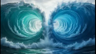
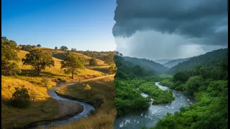
El Niño and La Niña are not separate events but the two extreme phases of a single, naturally recurring cycle called the El Niño-Southern Oscillation (ENSO). These events typically occur every two to seven years and can last for about a year or two. El Niño is the warm phase, associated with weaker monsoons and drought risk for India. La Niña is the cold phase, linked to stronger monsoons and flood risk. Between these extremes are neutral periods. Understanding which phase is active or developing helps governments and farmers prepare for the associated weather risks, from water management for potential droughts to reinforcing flood defences.