





A New Space Agenda in Bengaluru
In late June 2026, heads of space agencies from the expanded BRICS bloc, including nations like Brazil, Russia, India, China, South Africa, and new members like Egypt and the UAE, gathered in India's tech hub, Bengaluru. Hosted by the Indian Space Research
Organisation (ISRO) under India's BRICS chairship, the meeting's agenda was firmly fixed on Earth. The primary goal was to strengthen cooperation in using space technology to tackle shared global challenges, with a special focus on climate change and disaster management. This wasn't about a new space race, but about creating a collaborative framework for planetary well-being, moving from coordination to what Indian officials called "co-creation" through joint innovation and development.
Demystifying Remote Sensing
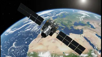
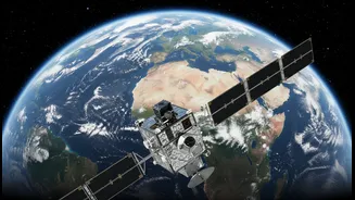
At the heart of these discussions was 'remote sensing'. In simple terms, remote sensing is the science of gathering information about the Earth from a distance, typically using satellites. Think of it as giving our planet a regular health check-up from space. These satellites are equipped with advanced sensors that can monitor everything from forest cover and ocean temperatures to atmospheric composition and groundwater levels. By capturing data across different wavelengths of light, some invisible to the human eye, these orbiting sentinels provide a continuous stream of information about the health of our environment. India has a long and successful history with this technology, starting with its IRS series of satellites in 1988, which have been used for everything from agricultural planning to urban development.
Satellites as Climate Warriors
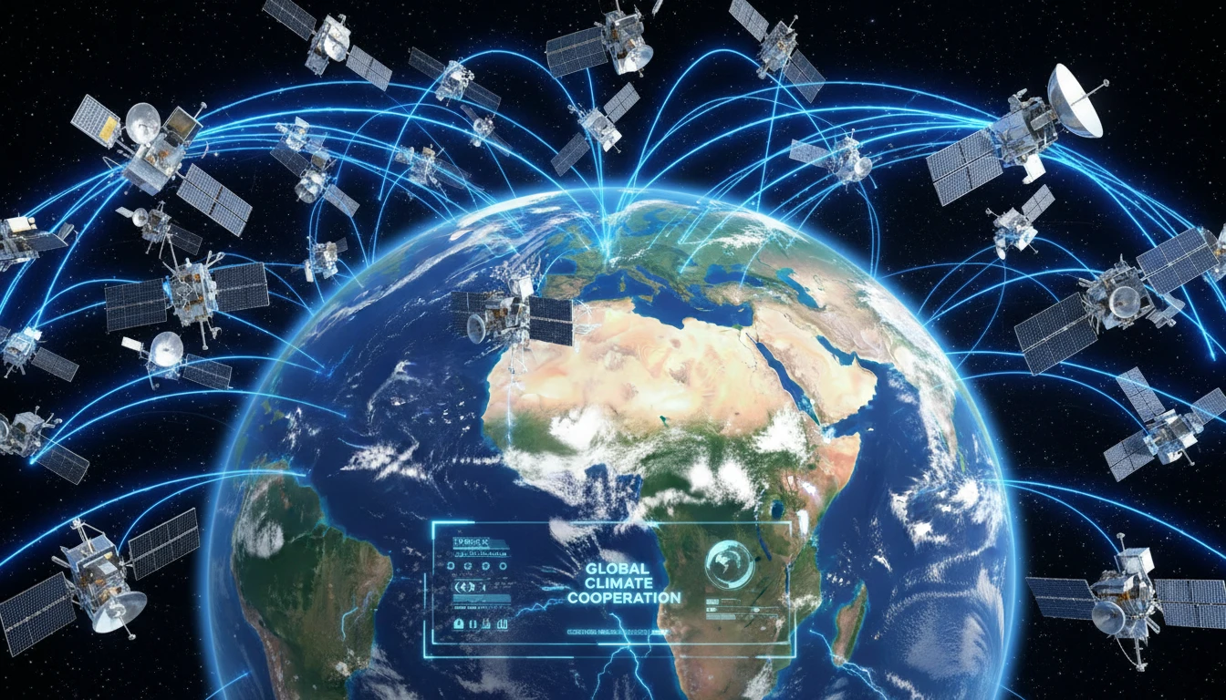
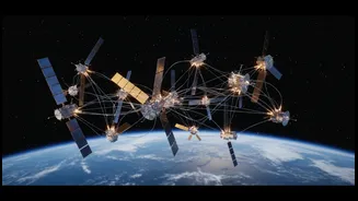
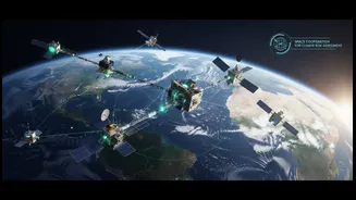
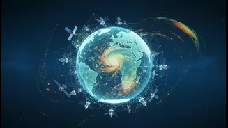
The power of remote sensing lies in its application. For the BRICS nations, which span vast and diverse ecosystems, this technology is a game-changer for climate action. Shared satellite data can help Brazil and Indonesia monitor deforestation in their vital rainforests, and allow India to better manage flood risks and assess drought conditions. Russia can track the rapid melting of Siberian permafrost, while South Africa and China can observe desertification patterns. The BRICS Remote Sensing Satellite Constellation, an agreement first signed in 2021, creates a 'virtual constellation' by sharing data from existing satellites like India's Resourcesat-2 and China's Gaofen-6. The Bengaluru meeting focused on strengthening this network and expanding it to include new BRICS members, creating a more powerful tool for monitoring climate change impacts in real-time.
The Power of Five (and More)
Why is a BRICS-led initiative so significant? First, it pools resources. Developing and launching satellites is expensive, and sharing data makes space technology more accessible and affordable for all members. Second, it fosters self-reliance and offers an alternative to Western-dominated space data and technology. This is particularly important for the Global South, enabling nations to develop solutions tailored to their specific challenges. The talks in Bengaluru also progressed on establishing a BRICS Space Council, an institutional body to ensure long-term policy coordination. This signals a move towards a more structured and strategic partnership, aiming to build what India has termed a "BRICS Space Economy" focused on sustainable development.
India’s Leadership Role
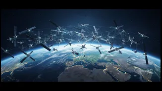
By hosting the summit in Bengaluru, India showcased not only ISRO's decades of expertise but also its burgeoning private space ecosystem. Presentations from Indian startups highlighted the country's growing capabilities in launch services and geospatial intelligence. For India, this is a moment to assert its leadership in the space domain, not through competition, but through a vision of inclusive and sustainable collaboration. ISRO Chairman V. Narayanan noted that the common agenda was to use space technology for global growth and the benefit of all BRICS nations. The focus on debris-free missions and sustainable space operations also positions the bloc as a responsible player in the increasingly crowded orbital environment.