





What Caused the Initial Flood?
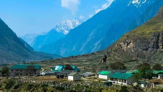
On August 26, 2026, a catastrophic flash flood tore through river valleys in northern Nepal, near the border with Tibet. The sudden deluge swept through villages and towns, causing widespread destruction and a tragic loss of life. Initial confusion gave
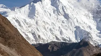
way to a chilling scientific consensus: the disaster was likely triggered by an enormous ice and rock avalanche high in the Himalayas. This avalanche is believed to have crashed into the Lende Khola, a tributary of the Bhote Koshi River, creating the initial devastating surge of water, mud, and debris that moved with incredible speed and force downstream. This is not an uncommon phenomenon in a region where climate change is accelerating glacier melt, making the mountains increasingly unstable.
The Danger of a 'Landslide Dam'
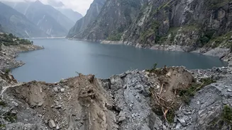
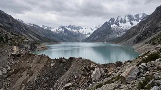
The immediate danger, however, may not have passed with the first wave. The primary concern for authorities is the formation of a “landslide dam.” When a massive landslide or avalanche occurs in a narrow river valley, the sheer volume of rock and debris can block the river's flow entirely. Water then begins to back up behind this unintentional, and highly unstable, dam. This is what authorities fear has happened upstream. Unlike engineered concrete dams, these natural blockages are composed of loose material. As the lake behind the dam grows, the immense pressure of the water can cause the dam to fail catastrophically and without warning. This breach would release the entire stored volume of water in a single, massive wave, creating a second surge far larger and more destructive than the first.
Why Downstream India is on Alert
The geography of the Himalayas means that a disaster in Nepal is a direct threat to India. Major river systems, including the Kosi and Gandak, flow from Nepal into the Indian states of Bihar and Uttar Pradesh. The river at the center of the current crisis, the Bhote Koshi, flows into the Trishuli and eventually becomes the Gandak River in India. A breach of the landslide dam would send a surge down this exact path. Consequently, authorities in districts like Maharajganj and Kushinagar in Uttar Pradesh, and districts along the Gandak basin in Bihar, have been placed on high alert. These regions have a painful history with floods originating in Nepal, most notably the Kosi River, often called the 'Sorrow of Bihar' for its frequent and devastating floods.
Monitoring a Ticking Clock
The situation remains precarious. Access to the remote, high-altitude blockage site is extremely difficult, making it hard for engineers to assess the dam's stability or to attempt a controlled release of the water. Meanwhile, the water level behind the debris wall continues to rise. For communities downstream, it is a tense waiting game. Evacuation orders have been issued in vulnerable areas in both Nepal and India. Disaster response teams in India have been deployed to border regions, and officials are constantly monitoring water levels for any sign that the dam is beginning to fail. Cooperation and data sharing between Nepal and India are critical in these moments, as an early warning of a breach could provide precious hours for people to move to safety.