





From Reaction to Prediction
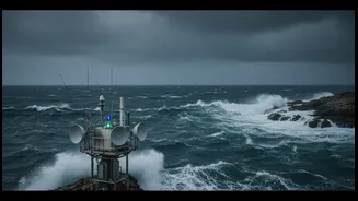
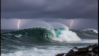
For centuries, coastal communities have lived at the mercy of the sea, reacting to disasters as they strike. Today, that is changing. Scientific institutions are transforming our relationship with the ocean from one of reaction to one of proactive prediction.
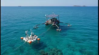
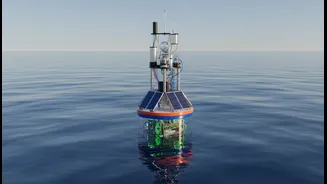
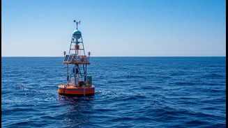
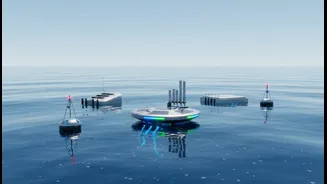
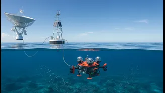
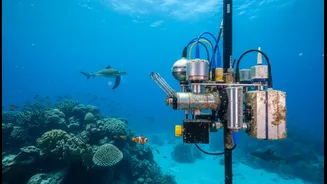
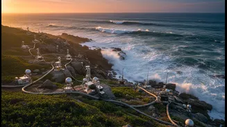
At the forefront of this shift in India is the Indian National Centre for Ocean Information Services (INCOIS), an organisation dedicated to translating complex ocean data into life-saving services. By deploying a vast network of sensors, buoys, and satellites, INCOIS monitors the ocean in real-time, providing the foundation for a suite of early warning systems that protect lives and property. This represents a fundamental change in disaster management, where scientific foresight gives communities the one thing they need most: time.
Guarding Against Sudden Threats
The 2004 Indian Ocean tsunami was a devastating wake-up call that highlighted the urgent need for a robust warning system. In response, India developed one of the world's most advanced Tsunami Early Warning Centres, operated by INCOIS in Hyderabad. The system works by combining data from a network of land-based seismic stations with deep-ocean sensors that detect changes in sea level. When an undersea earthquake with tsunami potential is detected, powerful computer models simulate wave behaviour, allowing advisories to be issued within minutes. This rapid analysis is now being enhanced with underwater cables and AI models to make alerts even faster. Similar science underpins storm surge forecasting, which predicts the abnormal rise in sea level during cyclones, giving authorities crucial information for planning evacuations and mitigating coastal flooding.
Planning for a Changing Coastline
Not all threats are as sudden as a tsunami. Sea-level rise, driven by global warming, poses a slow-moving but relentless risk to India's coastal cities and ecosystems. Research shows that the sea level along India's coast is rising, with some projections suggesting an increase of up to one metre by 2100. Ocean research provides the critical data for these long-term predictions. By tracking trends in sea-level rise, scientists help policymakers and urban planners make informed decisions. This includes everything from designing resilient infrastructure and protecting vital ecosystems like mangroves to establishing effective coastal zone management policies. Understanding where and how fast the sea is rising is essential for adapting to a changing climate and ensuring the long-term viability of coastal communities.
Boosting Livelihoods and Safety
Beyond disaster warnings, ocean research provides direct economic benefits, particularly for the millions who depend on fishing. INCOIS's Potential Fishing Zone (PFZ) advisories are a prime example. Using satellite data on sea surface temperature and chlorophyll, these advisories pinpoint areas where fish are likely to be abundant. This service, often delivered directly to fisherfolk via a mobile app called SAMUDRA, helps them save significant time and fuel that would otherwise be spent searching for fish. Studies have shown that using these advisories can dramatically increase the catch per unit effort, leading to higher profits. By making fishing more efficient and predictable, this application of ocean science directly supports the economic resilience of coastal families.