






A New Eye in a Unique Orbit
What makes the EOS-05 mission a genuine benchmark is its destination: a geosynchronous orbit roughly 36,000 kilometres above Earth. Unlike previous earth observation satellites that operate in low-Earth orbits and pass over a location only at intervals,
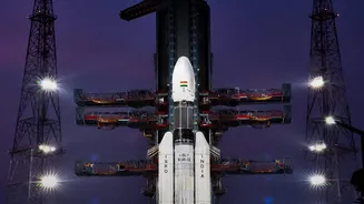
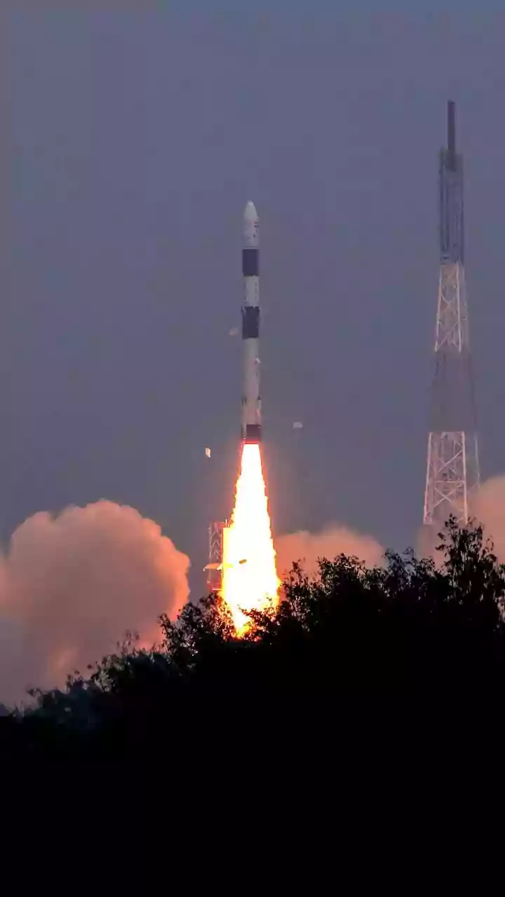
EOS-05 will be locked in sync with our planet's rotation. This allows it to continuously monitor the same broad geographical region. The successful launch of the GSLV-F17 rocket carrying the 2,367 kg satellite is a moment of immense pride and a crucial success for the Indian space programme. EOS-05 is now India’s first imaging satellite to operate from this high-altitude perch, joining a select group of nations with this advanced capability. Its mission is to provide a steady, uninterrupted gaze over the Indian subcontinent, capturing the entire landmass roughly every 30 minutes.
A Game-Changer for Indian Agriculture
For millions of Indian farmers, this satellite is a powerful new ally. ISRO's satellite technology is already revolutionising farming through programmes that provide data on soil health and crop development. EOS-05 will dramatically enhance these efforts. Equipped with sophisticated multispectral and hyperspectral imagers, it can analyse the health of crops by observing how they reflect different wavelengths of light. This technology will enable the early detection of pest attacks, monitor soil moisture levels for better irrigation planning, and help in precise fertiliser application. By providing near real-time information, it empowers farmers to move towards precision agriculture, optimising the use of resources like water and pesticides, which reduces costs and environmental impact. This data is also vital for initiatives like the Pradhan Mantri Fasal Bima Yojana for more accurate crop insurance assessments.
Transforming Weather Forecasts and Disaster Management
The constant watch from EOS-05 is set to revolutionise weather forecasting and disaster management across the country. While India has long operated weather satellites like the INSAT series, EOS-05 brings advanced imaging capabilities to this high orbit. Its ability to provide rapid, repeated observations of a large area is critical for tracking the development of fast-moving weather events like cyclones and severe storms. Forecasters can monitor a cyclone's formation and trajectory with greater accuracy, allowing for more timely and effective warnings to coastal communities. Furthermore, the satellite will be an invaluable tool for monitoring other natural disasters such as floods, forest fires, and even avalanches by tracking changes in landforms and water bodies. This near-continuous stream of data will significantly improve emergency response and planning, ultimately helping to save lives and property.
The Advanced Technology Onboard
The 'benchmark' status of EOS-05 comes from its state-of-the-art instruments. The satellite carries a suite of sensors, including a multispectral imager with a spatial resolution of 42 metres, reportedly the highest for a camera in a geostationary orbit. It also features a 158-band hyperspectral sensor for visible and near-infrared wavelengths and a 256-band sensor for short-wave infrared. In simple terms, these instruments allow the satellite to see the Earth in far more detail and across a wider spectrum of light than a standard camera. This capability allows scientists to identify different types of vegetation, assess mineral content, and distinguish between snow, ice, and clouds with incredible precision. This combination of frequent observation and detailed spectral data is what sets EOS-05 apart, providing a rich dataset for a wide range of civilian and strategic applications.