



The Big Picture from Space
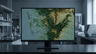
The first step in assessing a vast, complex area like Kerala's forests is to get a view from above. Scientists rely heavily on remote sensing, using data from satellites like the Indian Space Research Organisation's (ISRO) Resourcesat series. These satellites capture
images of the Earth's surface, which are then analyzed to monitor changes over time. A key technique used is the Normalised Difference Vegetation Index (NDVI), which essentially measures the 'greenness' of an area. By comparing NDVI values over months or years, scientists can spot trends in vegetation health, identifying areas that are thriving or those that are under stress. This satellite-based monitoring is a core part of the biennial India State of Forest Report (ISFR) compiled by the Forest Survey of India (FSI), which acts like a comprehensive health report for the nation's forests.
Classifying the Canopy
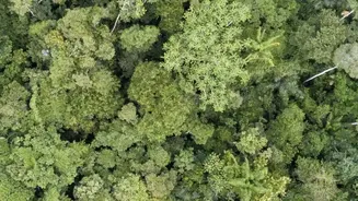
Satellite data doesn't just tell us if a forest is green; it helps classify its density. The FSI categorises forests into distinct classes based on canopy density—the percentage of the ground covered by treetops. 'Very Dense Forest' (VDF) has a canopy cover of 70% or more, while 'Moderately Dense Forest' (MDF) ranges from 40-70%. 'Open Forest' is between 10-40%, and anything below 10% is classified as 'Scrub', which isn't counted in the total forest cover. This classification is crucial. A region might not be losing total forest area, but a shift from 'Very Dense' to 'Open' forest signals significant degradation, impacting biodiversity and ecological functions. This detailed analysis relies on a hybrid approach, combining automated digital classification with the skilled interpretation of analysts who understand the local topography and forest types.
A 3D View with LiDAR
For a more detailed, three-dimensional understanding of forest structure, scientists are increasingly turning to LiDAR (Light Detection and Ranging). This technology, which can be mounted on drones or aircraft, sends out laser pulses and measures the time it takes for them to bounce back. The result is a highly accurate 3D 'point cloud' that maps not just the top of the canopy but also the branches, undergrowth, and the forest floor itself. LiDAR can reveal the height of trees, the volume of biomass, and the overall structural complexity of the forest—details that are impossible to see with standard satellite photos. In India, the FSI has started incorporating LiDAR and drone surveys into its National Forest Inventory to get precise measurements of carbon stock and timber volume, which are vital for climate change reporting and sustainable management.
Boots on the Ground
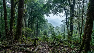
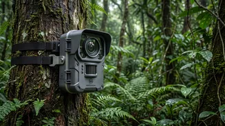
Technology alone isn't enough. All remote sensing data must be validated by 'ground truthing'. This involves scientists and forestry experts physically going into the forests to collect data. In Kerala, organisations like the Kerala Forest Research Institute (KFRI) play a key role. They establish and monitor long-term plots in various ecosystems, from mangroves to evergreen forests. In these plots, researchers tag and measure thousands of individual trees, study species composition, check for signs of disease or pest attacks, assess soil quality, and monitor natural regeneration. This on-the-ground data provides the essential real-world context needed to accurately interpret satellite and LiDAR imagery. It's the combination of high-tech remote sensing and traditional fieldwork that gives the most complete picture of forest health.
Why This Matters for Kerala
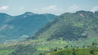
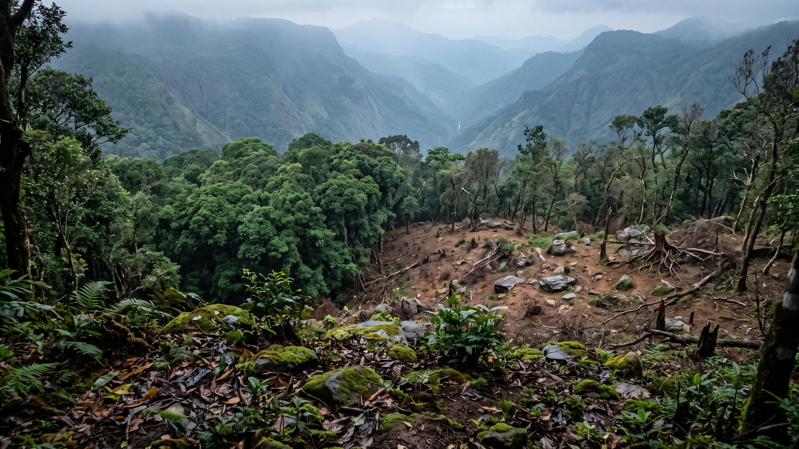
This constant monitoring is more than an academic exercise; it's vital for Kerala's future. The Western Ghats, a UNESCO World Heritage site, is a global biodiversity hotspot facing threats from habitat fragmentation, unregulated construction, and climate change-induced events like landslides and erratic rainfall. Data on forest density and health helps policymakers make informed decisions about conservation priorities and where to focus restoration efforts. It allows for the early detection of threats like invasive species or forest fires. For a state where ecological health is so closely linked to the well-being of its people—regulating monsoon patterns and protecting against soil erosion—this scientific scrutiny is the first line of defence in preserving its precious natural heritage.