

A New Era of Earth Observation
The NASA-ISRO Synthetic Aperture Radar (NISAR) mission is a landmark collaboration between the two space agencies, launched from India in July 2025. What makes it so special is its advanced radar technology. Unlike optical satellites that need daylight
and clear skies, NISAR uses two radar frequencies, L-band and S-band, to create incredibly detailed images of Earth's surface day or night, regardless of weather. This means it can pierce through clouds, dust, and even dense forest canopies to see what’s happening on the ground below. After a year of calibration, provisional data from this powerful satellite became publicly available in July 2026, opening the floodgates for scientists and researchers worldwide.
Why Wetlands Are So Crucial
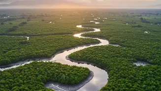
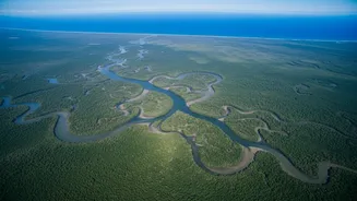
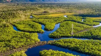
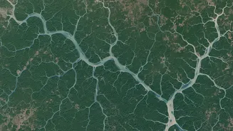
For India, with its vast and varied landscapes, wetlands are the unsung heroes of the environment. From the sprawling Sundarbans delta to inland marshes like the Vembanad-Kol wetland, these ecosystems act as natural sponges, absorbing heavy rainfall and mitigating floods. They are also giant water filters, purifying our water sources, and are teeming with biodiversity. However, these critical zones are under constant threat from climate change and human activity. Understanding how they change—how they expand, shrink, dry out, or flood—is essential for protecting them. This is where NISAR's unique capabilities become a game-changer.
The Power of a Constant Watch
Previous satellites provided snapshots of the Earth, often weeks or months apart. NISAR, however, revisits nearly every spot on the planet twice every 12 days. While not literally a new image of the exact same spot every single day, the mission processes and releases a massive volume of data daily. This creates a near-continuous flow of information, allowing scientists to move from static before-and-after pictures to a dynamic, high-frequency movie of the Earth in motion. For wetlands, this means tracking the subtle, day-to-day and week-to-week changes in water levels and inundation extent—something that was impossible on a global scale until now.
Seeing Through the Canopy
One of NISAR’s most remarkable abilities is mapping water hidden beneath dense forest canopies. The satellite's longer L-band radar waves can penetrate foliage to detect water on the forest floor. When the radar signal hits the water and bounces off a tree trunk before returning to the satellite, it creates a bright signal in the resulting image, a phenomenon called 'double-bounce scattering'. This allows scientists to clearly identify flooded forests, which appear as bright patches in the data. This has already been demonstrated in test imagery over areas like the Jhilmil Jheel wetland near Haridwar, revealing waterlogged areas that are invisible to optical cameras.
A Game-Changer for India
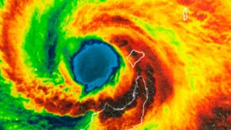
The data from NISAR is a monumental asset for India. ISRO, as a key partner, will leverage the satellite's S-band radar for applications tailored to national needs. This includes agricultural monitoring, tracking Himalayan glaciers, studying soil moisture, and, crucially, disaster management. In the event of a natural disaster like a flood or cyclone, NISAR can provide urgent response data within hours, offering rapid and accurate maps of affected areas even through storm clouds. This will empower agencies to make faster, more informed decisions for relief and rescue efforts. The mission not only boosts India’s scientific capabilities but also enhances its ability to protect its population and natural heritage.