






An Age-Old Weather Puzzle
The monsoon is more than just rain; it is the engine of India’s agricultural economy and the lifeline for its water resources. Its timely arrival and balanced distribution are critical. However, its immense scale and complexity have historically made
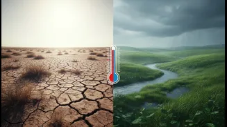
it notoriously difficult to predict. A weak monsoon can lead to drought and crop failure, while an excessively strong one can cause devastating floods. For farmers deciding when to sow their seeds and for authorities managing disaster response, accurate forecasting is not a luxury—it's a necessity. This long-standing challenge is what makes the recent advancements in weather monitoring so significant. The ability to understand the monsoon's behaviour with greater precision is a game-changer for the nation.
ISRO’s Sentinels in Orbit
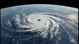
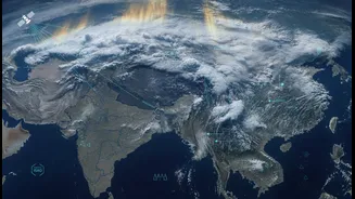
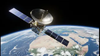
High above the Earth, a fleet of sophisticated satellites operated by the Indian Space Research Organisation (ISRO) maintains a constant vigil. Chief among these are the INSAT (Indian National Satellite) series, particularly INSAT-3D, INSAT-3DR, and the recently launched INSAT-3DS. These are not just cameras in space; they are advanced observatories packed with cutting-edge instruments. Operating from a geostationary orbit about 36,000 kilometres above the equator, they remain positioned over the Indian subcontinent, providing continuous coverage. They are joined by polar-orbiting satellites like the Oceansat series, which scan the globe, paying special attention to the oceans that are the birthplace of monsoon systems. Together, this network forms a powerful, multi-layered system for observing the Earth's atmosphere and oceans in incredible detail.
More Than Just Cloud Pictures
What makes these satellites so effective is their ability to see beyond the visible spectrum. The INSAT-3D series, for example, is equipped with an 'Imager' and a 'Sounder'. The Imager captures pictures in multiple wavelengths, including visible light to see clouds during the day and thermal infrared to track cloud movements and sea surface temperatures at night. The Sounder is even more remarkable; it creates vertical profiles of the atmosphere, measuring temperature and humidity at different altitudes. This is like taking a vertical slice of the sky to understand its structure, providing a three-dimensional view of the conditions that fuel the monsoon. Meanwhile, satellites like Oceansat carry instruments called scatterometers, which measure the roughness of the ocean surface to determine wind speed and direction—crucial factors in forecasting cyclone formation and monsoon progression. This wealth of data on cloud motion, water vapour, sea surface temperature, and wind patterns provides the raw ingredients for modern weather forecasting.
From Data to Decisions on the Ground
Collecting this data is only the first step. The real magic happens when it reaches the ground. ISRO transmits this information to the India Meteorological Department (IMD), where it is fed into powerful supercomputers. These computers run complex Numerical Weather Prediction (NWP) models, which simulate the behaviour of the atmosphere. Satellite data has dramatically improved the accuracy of these models, with some estimates suggesting a 20-30% improvement in short-to-medium-range forecasting. More recently, these capabilities have been enhanced with Artificial Intelligence (AI), which helps generate highly localised and long-range forecasts, sometimes up to four weeks in advance. This integrated system, combining ISRO's space-based observations with IMD's ground-based networks and AI-driven models, allows forecasters to issue more timely and precise alerts for heavy rainfall, cyclones, and the overall progression of the monsoon.
The Real-World Impact
The result of this technological synergy is tangible. Farmers receive advisories that help them make better decisions on when to plant, irrigate, and harvest their crops. Disaster management authorities get earlier warnings about impending cyclones and extreme rainfall, giving them more time to prepare and evacuate coastal communities, saving countless lives. Urban planners can better anticipate flooding events in cities, and water resource managers can make more informed decisions about reservoir levels. This space-based view empowers the country to move from a reactive to a proactive stance in managing one of its most powerful natural phenomena. The ability to better understand and anticipate the monsoon's whims strengthens India's resilience against climate risks and supports its economic stability.