




Two Powerful Views of the Coast
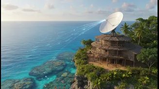
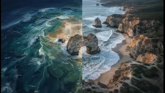
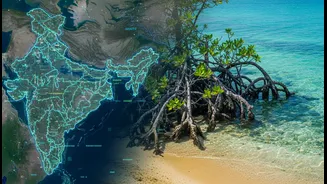
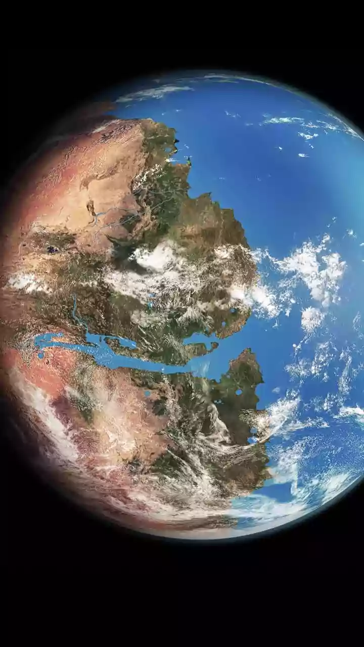
On one hand, we have modern science in its most advanced form: satellite remote sensing. From orbit, satellites provide a sweeping, impartial view of our planet. They can track changes in shoreline positions, measure the health of mangrove forests, detect
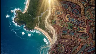
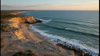
shifts in water turbidity, and monitor sea-level rise with incredible precision over vast areas. This 'eye in the sky' offers invaluable data at a scale impossible to achieve with traditional ground surveys alone, giving us a big-picture understanding of coastal dynamics. On the other hand, there is Indigenous Knowledge, often called Traditional Ecological Knowledge (TEK). This is a deep, multigenerational understanding of a specific place, passed down through stories, practices, and direct observation. Coastal Indigenous communities hold knowledge about historical storm patterns, the behavior of local fish species, the medicinal properties of native plants, and the subtle signs of environmental change that a satellite could never detect. It is a rich, context-heavy story of a living ecosystem, seen through a human lens.
Weaving Together Data and Lived Experience
The 'smartest way' to read the coastal story involves weaving these two knowledge systems together. This isn't about replacing one with the other, but creating a richer, more accurate picture. In practice, this collaboration can take many forms. Researchers might use satellite data to identify an area of coastal erosion, then turn to community elders who can explain that the change accelerated after a specific storm years ago or due to shifts in local currents that their ancestors had documented. This process is called 'ground-truthing,' where local knowledge validates and adds context to what the satellites see. For example, a project in Canada successfully combined AI, satellite data, and Inuit knowledge to locate new fishing spots as climate change altered traditional grounds. The AI model treated Indigenous knowledge and scientific data as equals, leading to a success that would have been impossible with either one alone. Similarly, participatory mapping projects allow tribal members to overlay their knowledge of culturally significant sites and resource areas onto GIS maps showing projected sea-level rise, helping prioritize what needs to be protected.
A Clearer, More Resilient Future
When satellite data is informed by deep local expertise, the results are transformative. This fusion leads to more accurate climate adaptation strategies, more sustainable fisheries management, and better protection for both natural habitats and cultural heritage. Studies have shown that Indigenous-managed lands often exhibit higher levels of ecological health and are more effective carbon sinks. By combining data sources, communities and scientists can identify which areas are most vulnerable and where conservation funding will be most effective. This approach turns monitoring from a passive, top-down exercise into an active, participatory collaboration. It empowers local communities, giving them new tools to manage their ancestral lands while providing scientists with invaluable data that enriches their models. The result is a more robust, evidence-based foundation for making critical decisions in the face of environmental change.
Building Trust, Not Just Datasets
For this collaboration to be truly successful, it must be built on a foundation of trust and respect. For decades, Western science often extracted knowledge from Indigenous communities without proper credit or consent. The modern approach corrects this by centering the principle of Indigenous Data Sovereignty (IDS). IDS is the right of Indigenous peoples to govern the collection, ownership, and application of data from their own communities and lands. This means that projects are co-developed from the start. Communities are not just subjects of study; they are partners in the research. They help define the questions, guide the monitoring, and control how the resulting data is used. This ethical framework ensures that the partnership is equitable and that the knowledge shared benefits the community directly. It rebalances power dynamics and recognizes that Indigenous peoples have always been scientists and data stewards of their environments.