



A New Toolkit for the Modern Farmer
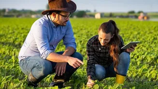
For farmers, satellite imagery is the cornerstone of precision agriculture. Instead of treating a hundred-acre field as one uniform plot, a farmer can now get a detailed, data-rich map of their land. Specialised sensors on satellites capture light that
is invisible to the human eye, revealing crucial information about plant health, soil conditions, and moisture levels. This allows for a targeted approach to farming. For instance, images can show which specific parts of a field are struggling with nutrient deficiencies or water stress. Armed with this knowledge, a farmer can apply fertiliser or water only where it's needed, a practice known as variable-rate application. This not only saves money on resources like water and fertiliser but also reduces environmental runoff, leading to more sustainable practices and higher crop yields.
Early Warnings and Better Predictions
Beyond resource management, satellite data acts as an early warning system. It can help detect the outbreak of pests and diseases before they become visible on the ground, allowing for swift intervention to save a harvest. Thermal imagery can identify crop stress from heat, while other sensors monitor growth patterns in near real-time. This constant stream of information also powers increasingly accurate yield predictions. By combining current satellite data with historical trends and weather forecasts, farmers and agricultural bodies can better estimate how much a crop will produce. This insight is invaluable for planning, managing supply chains, and ensuring food security, a benefit that has been particularly impactful in nations with vast and varied agricultural landscapes like India.
A Global View for Scientific Discovery
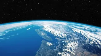
While farmers zoom in on their fields, scientists use satellite imagery to zoom out and monitor the health of the entire planet. This technology is indispensable for tracking the effects of climate change. For decades, satellites have provided undeniable evidence of melting glaciers and shrinking polar ice sheets by taking consistent measurements over time. Scientists can monitor changes in sea level, ocean temperatures, and the concentration of atmospheric gases, providing the hard data needed for climate models and policy-making. Satellites like NASA's PACE mission are even designed to track microscopic phytoplankton in the ocean, which play a crucial role in the global carbon cycle.
Managing Disasters and Ecosystems
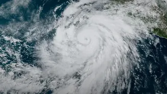
Satellite data is critical for monitoring and responding to natural disasters. When wildfires break out, satellites can detect them quickly and track their spread, helping firefighting crews on the ground. After the flames are out, the imagery helps ecologists assess the damage and plan for recovery. Similarly, during major floods, satellites can map the extent of the inundated areas, guiding rescue efforts and disaster response. Beyond disasters, scientists use this technology to track deforestation in rainforests, monitor coastal erosion, and observe changes in wildlife habitats. This ability to see the big picture over long periods provides a unique and essential understanding of how our planet's ecosystems are changing.