







What Exactly is El Niño?
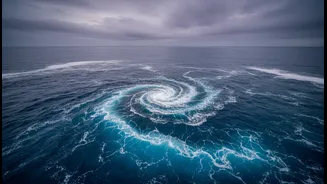
Imagine the vast Pacific Ocean as a giant bathtub. Normally, strong winds, known as trade winds, blow from east to west, piling up warm surface water in the western Pacific, near Asia and Australia. This allows cooler water to rise from the depths near South
America. El Niño, which means 'The Little Boy' in Spanish, flips this script. It's a climate pattern where these trade winds weaken. As a result, the pile of warm water sloshes back eastward, towards the coast of South America. This seemingly simple change in sea surface temperature, occurring every two to seven years, sets off a massive chain reaction in global weather patterns.
The Global Domino Effect
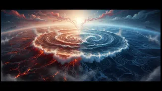
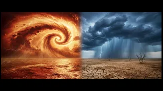
This shift of warm water changes where heat and moisture rise into the atmosphere. The normal pattern of atmospheric circulation, known as the Walker Circulation, gets disrupted. Areas that are usually wet can experience droughts, and typically dry regions can suffer from floods. During an El Niño, convection, which is the process of warm air rising and forming clouds, shifts from the western Pacific to the central and eastern parts of the ocean. This global reshuffling of weather is why a warming event off the coast of Peru can be linked to wildfires in Australia or, crucially for India, a weaker monsoon.
How It Weakens India's Monsoon
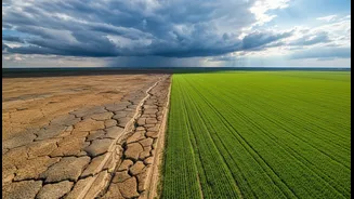
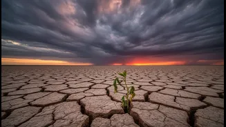
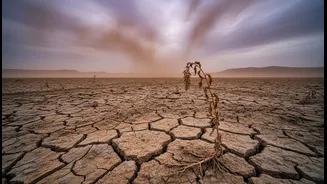
India's summer monsoon is a gigantic sea breeze, driven by the temperature difference between the cooler Indian Ocean and the hot landmass of the subcontinent. This pulls moisture-rich winds from the sea to the land, bringing the rain that powers our agriculture. El Niño interferes with this. The atmospheric changes over the Pacific create a high-pressure system over the western Pacific and Indian Ocean. This high pressure suppresses cloud formation and weakens the low-pressure system over India that is essential for drawing in monsoon winds. The result is often a delayed onset of the monsoon, long dry spells, and an overall reduction in rainfall. Historically, about half of all El Niño years have led to drought conditions in India.
The Outlook for 2026
For 2026, the forecasts are concerning. According to the World Meteorological Organization (WMO) and other global agencies, El Niño conditions that developed in early 2026 are forecast to strengthen rapidly. Forecast models show a high degree of confidence in this outlook. This has already had an impact, with India's monsoon season opening in June with a significant rainfall deficit of around 40%. The India Meteorological Department (IMD) has projected that July 2026 will also see 'below-normal' rainfall for most of the country. This combination of a strengthening El Niño and a weak start to the rains raises serious concerns for the Kharif crop season, water reservoir levels, and the broader economy.
Is It Always a Guarantee of Drought?
While the link is strong, an El Niño does not automatically guarantee a disastrous monsoon. Another climate phenomenon, the Indian Ocean Dipole (IOD), can sometimes play a saving role. The IOD is a temperature difference between the western and eastern parts of the Indian Ocean. A 'positive' IOD, with warmer waters in the Arabian Sea, can boost monsoon rains and sometimes counteract El Niño's negative effects, as it did in 1997. Unfortunately for 2026, forecasters expect the IOD to remain neutral for most of the season, offering little help against the strengthening El Niño. This leaves India more exposed to the classic El Niño impact of reduced rainfall.