



More Than Just Pictures
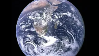
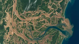
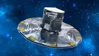
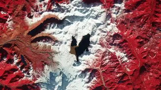
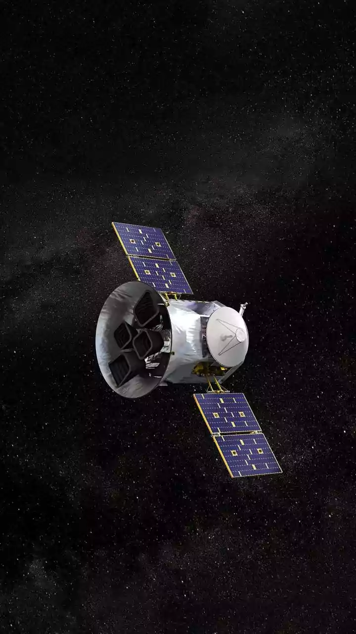
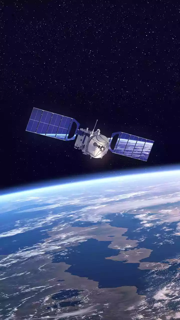
So, what exactly is satellite data? In simple terms, it's information collected by the numerous satellites orbiting our planet. This isn't just about taking pictures from space. These specialized machines gather a vast range of data, from high-resolution
images of the land to signals that help pinpoint a location with incredible accuracy. India, through the Indian Space Research Organisation (ISRO), operates a large fleet of satellites, including Earth observation, communication, and navigation satellites. Earth observation satellites like those in the Resourcesat and Cartosat series provide detailed imagery, while meteorological satellites like INSAT-3D track weather patterns. Together, they create a constant stream of data about our forests, cities, farms, and oceans, forming the backbone of many modern services.
A Revolution in the Fields
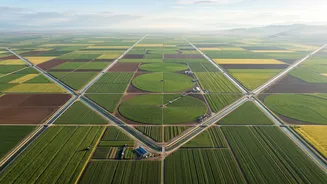
Perhaps one of the most impactful uses of satellite data in India is in agriculture, a sector that employs a massive portion of the population. Satellites provide invaluable information for farmers and policymakers. Through programs like FASAL (Forecasting Agricultural output using Space, Agro-meteorology and Land-based observations), the government can generate pre-harvest production estimates for major crops. This helps in managing food security and stabilizing prices. For farmers, satellite data offers insights into crop health, soil moisture, and pest infestations, enabling what is known as 'precision agriculture'. This allows for the optimised use of fertilizers and water, boosting yields and reducing waste. Furthermore, satellite data is crucial for the Pradhan Mantri Fasal Bima Yojana (PMFBY), where it helps in accurately assessing crop loss for insurance claims, ensuring farmers get timely and fair compensation.
A Shield Against Natural Disasters
India's long coastline and varied geography make it vulnerable to natural disasters like cyclones, floods, and droughts. Satellites are our eyes in the sky, providing critical early warnings. ISRO's Disaster Management Support (DMS) Programme uses satellite data to monitor cyclones as they form over the ocean, track their path, and predict their intensity. This information is vital for authorities to evacuate coastal populations and mitigate damage. During floods, satellite imagery helps identify the extent of inundation in near real-time, allowing rescue teams to focus their efforts on the worst-affected areas. The National Remote Sensing Centre (NRSC) in Hyderabad plays a key role, disseminating this information to central and state departments to aid decision-making before, during, and after disasters.
Building and Navigating a Modern India
As India's cities expand at a breakneck pace, managing urban growth is a significant challenge. Satellite data provides a powerful tool for urban planners to monitor unauthorised construction, track land-use changes, and plan new infrastructure like roads and public transport. ISRO's Bhuvan geoportal, a web-based platform, offers detailed satellite imagery and thematic maps that support everything from Smart City projects to managing natural resources. Beyond just mapping, India has also developed its own independent regional navigation system, NavIC (Navigation with Indian Constellation). Designed to provide accurate positioning services over India and its surrounding regions, NavIC is crucial for transport, logistics, and national security. It guides fishermen at sea with alerts, helps manage vehicle fleets, and is being integrated into mobile phones, reducing our reliance on foreign systems like GPS.