



Meet India’s New Weather Warrior
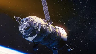
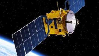
While the headline mentions EOS-05, the recent star of India’s meteorological program is the INSAT-3DS satellite, launched by ISRO in February 2024. This satellite is part of a broader, ambitious push under the Earth Observation Satellite (EOS) program to
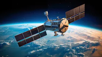
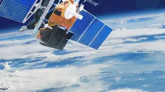
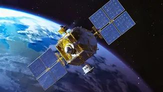
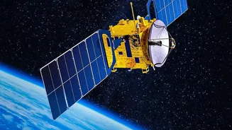
enhance the country's monitoring capabilities from space. Fully funded by the Ministry of Earth Sciences, INSAT-3DS is a follow-on mission designed to augment and eventually replace its predecessors, INSAT-3D and INSAT-3DR. Positioned in a geostationary orbit 35,786 kilometres above the Equator, it joins a constellation of spacecraft that serve as our first line of defence against extreme weather. Its primary mission is simple yet critical: to provide continuous and enhanced observation of land and ocean surfaces for better weather forecasting and disaster warnings.
The Technology Powering the Forecast
What makes satellites like INSAT-3DS so powerful are their advanced instruments. It carries two main payloads: a six-channel multispectral Imager and a nineteen-channel Sounder. Think of the Imager as a highly advanced camera that can see the Earth in different wavelengths of light, capturing details about cloud cover, sea surface temperature, snow, and even smoke from wildfires. The Sounder is even more sophisticated; it measures atmospheric data at different altitudes to create a 3D profile of temperature and humidity. This is a significant upgrade, allowing meteorologists to understand the vertical structure of the atmosphere, which is key to predicting how weather systems will develop. The satellite can provide imagery and data far more frequently and with greater precision than older generations could.
From Orbit to Your Phone Screen
Having a powerful satellite is only half the battle. The real magic happens when the data it collects is turned into a reliable forecast. INSAT-3DS constantly beams its observations down to ground stations in India, managed by ISRO. This raw data is then relayed to agencies like the India Meteorological Department (IMD) and the National Centre for Medium-Range Weather Forecasting (NCMRWF). Here, powerful supercomputers process the satellite inputs, combine them with ground-based observations, and run complex models to predict the weather. This seamless pipeline ensures that forecasters have the most up-to-date information, whether it’s for tracking a developing cyclone in the Bay of Bengal or forecasting fog for aviation services. The satellite also carries a Data Relay Transponder to collect information from remote, automated weather stations across the country.
The Real-World Impact for Every Indian
The advancements offered by this new generation of satellites have tangible, life-saving benefits. For the millions living along India’s vast coastline, more accurate cyclone tracking and intensity forecasts mean more effective evacuations and better-prepared disaster response teams. For farmers, precise information on rainfall, soil moisture, and temperature helps in making crucial decisions about when to plant and harvest, directly impacting agricultural productivity. Beyond that, these satellites assist in monitoring forest fires, detecting fog for safer transport, and managing water resources by tracking snow cover in the Himalayas. The system even includes a Satellite-Aided Search and Rescue (SAS&R) transponder, which relays distress signals from beacons to help rescue operations at sea or in remote areas.
A Broader Vision for Earth Observation
INSAT-3DS does not work in isolation. It is a key player in India's expanding network of Earth Observation Satellites, each with a specialised role. While INSAT satellites are masters of meteorology, other series like the EOS satellites (which includes radar imaging and ocean-monitoring spacecraft) provide a complete picture of the planet. For example, EOS-06 (Oceansat-3) focuses on ocean biology and sea state, while radar satellites can see through clouds to monitor floods and land deformation. Together, this constellation provides a comprehensive, multi-layered view of the Indian landmass and surrounding waters, reinforcing India’s self-reliance in space technology and its application for public good. This integrated system represents the true strength of the nation’s modern weather-monitoring push.