



A New Generation of Vision
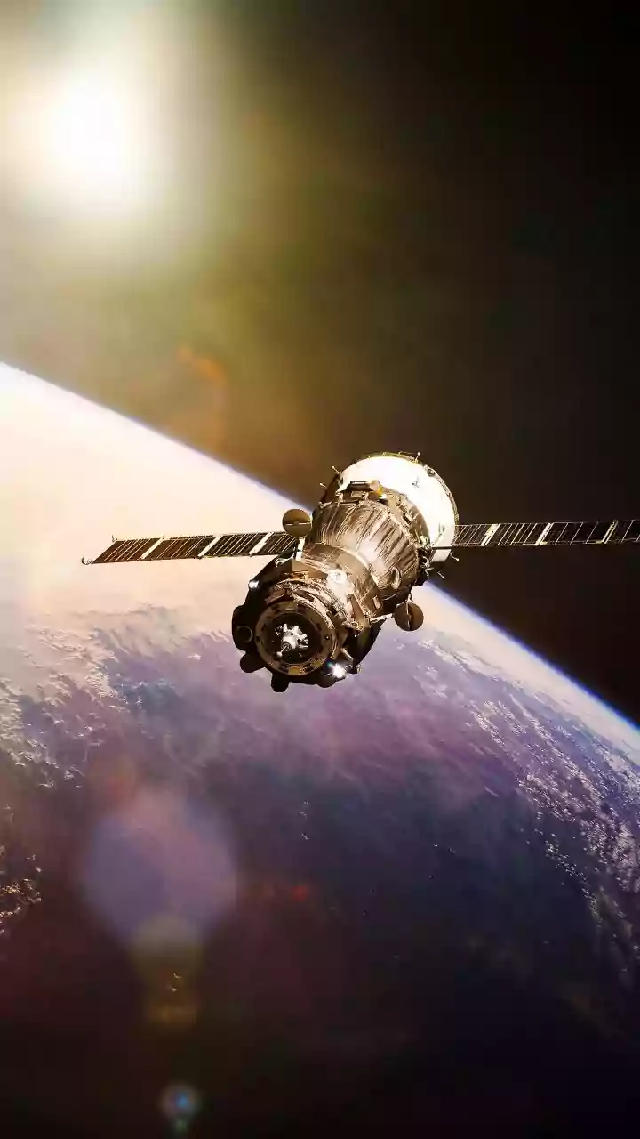
The key to this advancement lies in a powerful technology called Synthetic Aperture Radar, or SAR. Unlike traditional optical satellites that are essentially cameras in space, SAR satellites can see through clouds, haze, and the dark of night. This is a game-changer
for tracking the monsoon, which is defined by dense cloud cover. ISRO's fleet, including the Radar Imaging Satellite (RISAT) series and the recently launched NASA-ISRO Synthetic Aperture Radar (NISAR) mission, is at the forefront of this effort. The NISAR satellite, a joint mission between ISRO and NASA launched in July 2025, is particularly notable. It is the first satellite to use two different radar frequencies (L-band and S-band), allowing it to capture incredibly detailed data of the Earth's surface with remarkable precision. This all-weather, day-and-night capability means that meteorologists are no longer flying blind when a cyclonic system or a low-pressure area forms under a thick blanket of clouds.
How Radar Pierces the Monsoon Clouds
Conventional weather satellites, like the INSAT series, provide valuable imagery using visible and infrared light, which helps track cloud movement and temperature. However, these sensors cannot see what is happening underneath the highest layers of clouds. This is where SAR technology excels. By actively sending out microwave pulses and measuring the signals that bounce back, radar satellites create a detailed picture of the storm's structure, including wind patterns and the intensity of rainfall. The high-resolution data from satellites like RISAT-2BR1, capable of distinguishing objects less than a meter apart, can provide unprecedented insights into the formation of severe weather events. This allows forecasters to see the churning heart of a storm, identifying the areas with the heaviest potential downpour and the strongest winds long before they make landfall.
From Space Data to Public Warning
Gathering data is only the first step. The raw information beamed down from these satellites is processed at ISRO's ground stations, such as the National Remote Sensing Centre in Shadnagar. This processed data is then shared in near real-time with the India Meteorological Department (IMD), the nodal agency for weather forecasting and warnings in the country. The IMD integrates this high-resolution radar data into its advanced numerical weather prediction models. By combining satellite insights with ground-based observations from Doppler radars, meteorologists can issue more accurate and timely alerts. This collaborative framework ensures that warnings about potential flash floods, cyclones, and intense rainfall spells reach disaster management agencies and the public much faster, often providing crucial hours or even days of lead time to prepare.
The Real-World Impact on Safety and Agriculture
The impact of earlier and more accurate storm warnings is profound. For disaster management teams, it means more time to evacuate vulnerable coastal and low-lying areas, position resources, and mitigate potential damage. For the agricultural sector, which depends heavily on the monsoon, precise forecasts help farmers make critical decisions about planting, harvesting, and protecting their crops from extreme weather. The ability of SAR to measure soil moisture content is also a significant benefit, helping to manage water resources more effectively. Furthermore, this technology plays a vital role in post-disaster scenarios. Satellites can map the extent of flooding with high accuracy, even through cloud cover, enabling rescue and relief teams to identify the worst-affected areas and deliver aid more efficiently. Ultimately, these advancements translate into saved lives, protected livelihoods, and a more resilient nation in the face of an increasingly unpredictable climate.