





India's Eyes in the Sky
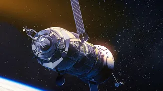
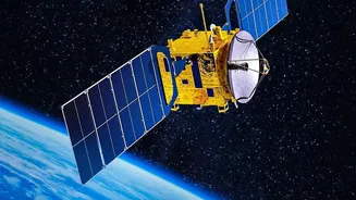
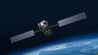
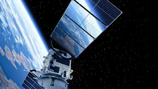
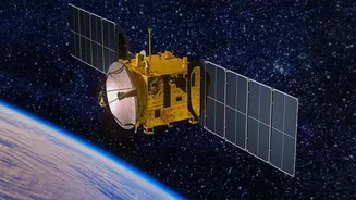
At the heart of India's weather monitoring capabilities is a sophisticated network of Earth observation satellites, primarily from the Indian National Satellite (INSAT) series. These are not just any satellites; many are placed in a geostationary orbit,
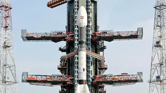
approximately 35,800 kilometres above the Earth's equator. At this altitude, a satellite’s orbital speed matches the Earth's rotation, allowing it to remain stationary over a fixed point. This provides a constant, uninterrupted view of the Indian subcontinent and the surrounding oceans, which is essential for tracking fast-developing weather systems like cyclones and thunderstorms. Key players in this fleet include INSAT-3D, INSAT-3DR, and the newer INSAT-3DS launched in 2024, which are all dedicated meteorological missions by the Indian Space Research Organisation (ISRO). This continuous watch is a significant advantage over polar-orbiting satellites, which fly at a lower altitude and can only observe the same spot on Earth a couple of times a day.
Seeing Beyond Visible Light
These satellites do much more than just take pictures of clouds. They are equipped with advanced instruments called imagers and sounders that capture data across various wavelengths of light, many of which are invisible to the human eye. The multi-channel imagers can detect cloud patterns, distinguish between snow and clouds, and even track fog. Sounders are particularly crucial as they measure temperature and humidity at different levels of the atmosphere. By gathering this information, scientists can build a three-dimensional picture of the atmosphere, identifying the conditions that could lead to severe weather. The satellites gather a wealth of data points, including sea surface temperatures, wind speeds over the ocean, outgoing radiation, and moisture content, giving forecasters a comprehensive view of the atmospheric dynamics at play.
From Raw Data to a Reliable Forecast
The massive amount of data collected by the satellites is transmitted in near real-time to ground stations in India. Here, the India Meteorological Department (IMD) takes charge. The raw satellite data is fed into powerful supercomputers that run complex Numerical Weather Prediction (NWP) models. These models use the satellite inputs—along with data from ground-based weather stations, weather balloons, and radar—to simulate the state of the atmosphere and forecast its evolution. The satellite-derived wind and temperature profiles are critical for improving the accuracy of these models. This processed information is then transformed into the weather forecasts, maps, and alerts that we see daily. A tool called RAPID (Real-time Analysis of Product and Information Dissemination) even allows forecasters to visualise and analyse satellite images as they come in, providing immediate insights.
Guardians Against Natural Calamities
The most significant impact of these high-altitude sentinels is in disaster management. For a country with a long coastline prone to cyclones, early and accurate warnings are a matter of life and death. Satellites like the INSAT series are instrumental in detecting the formation of cyclones in the Bay of Bengal and the Arabian Sea. They allow the IMD to continuously track a storm's path, monitor its intensity, and predict its landfall with increasing accuracy, enabling timely evacuations and saving countless lives. Beyond cyclones, this technology is vital for monitoring the onset and progress of the Indian monsoon, providing crucial information for the agricultural sector. The data also helps in issuing warnings for thunderstorms, heavy rainfall events, and even tracking western disturbances that affect North India's weather.