



The River of Sorrow
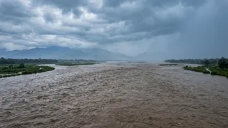
For centuries, the Kosi has been a source of both life and profound loss for the people of northern Bihar. The annual monsoon floods affect vast swathes of fertile agricultural land, disrupting the rural economy and displacing millions. This recurring
devastation has earned the river its grim moniker: the 'Sorrow of Bihar'. But unlike typical river flooding, the Kosi's danger lies in its extreme unpredictability. It doesn't just overflow its banks; it can abandon its channel entirely, carving a new path through villages and fields that were previously considered safe, as seen in the catastrophic 2008 floods that affected over four million people in India.
A Torrent of Himalayan Sediment
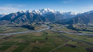
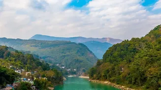
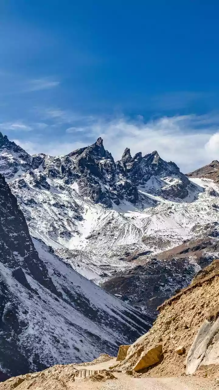
The Kosi's story begins high in the Himalayas. Its tributaries carve through some of the world's youngest and most fragile mountains, which are prone to erosion and landslides. As the river system descends steeply from Tibet and Nepal, it gathers an exceptionally heavy load of silt, sand, and debris. The Kosi basin, representing only about 9% of the larger Ganges system, contributes nearly 25% of the Ganges' total sediment load—an estimated 100 to 135 million tonnes per year. This makes it one of the most sediment-laden rivers on the planet, a key factor behind its volatile behaviour.
The Science of a Shifting River
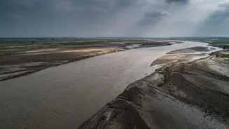
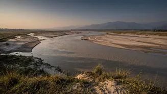
When the Kosi leaves the mountains and enters the flat plains of Bihar, its velocity drops dramatically. Unable to carry its heavy burden, the river deposits vast amounts of sediment onto its own bed. Year after year, this process of aggradation raises the riverbed. Eventually, the river channel becomes 'super-elevated', flowing at a higher level than the surrounding floodplain. At this point, it reaches a tipping point. The slope to the side becomes steeper than the slope downstream, and during a major flood, the river breaks its banks to find a new, lower, and easier path. This sudden and dramatic change of course is a geological process known as avulsion.
A History Written in Sand
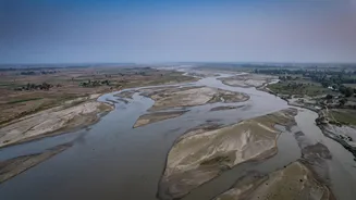
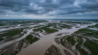
The Kosi's tendency to avulse is not a new phenomenon. Historical maps and satellite imagery show that the river has been an incredible wanderer. Over the last 250 years, it has shifted its course laterally by more than 120 kilometres across its massive alluvial fan, a vast, fan-shaped deposit of its own sediment. The river that once flowed near Purnea in the 18th century now flows far to the west of Saharsa. This relentless westward march, followed by an abrupt eastward jump during the 2008 avulsion, highlights the dynamic and restless nature of the river system.
The Embankment Dilemma
In the 1950s, an ambitious project was undertaken to tame the Kosi by constructing embankments along its banks to contain the floods. However, these structures have created a complex dilemma. By confining the river, the embankments prevent the sediment from spreading out naturally across the floodplain. Instead, the silt is deposited entirely within the channel, causing the riverbed to rise even faster than before. This has intensified the super-elevation effect, making breaches more catastrophic when they occur. While offering temporary protection, the embankments have, in some ways, exacerbated the underlying problem, leading to frequent breaches and turning the river into an even greater long-term hazard.