
A Planet-Sized Data Problem
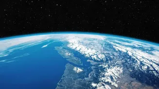
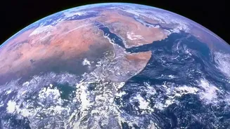
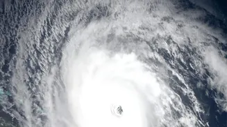
Every day, Earth-observing satellites beam down petabytes of information, capturing everything from the subtle creep of deforestation to the rapid surge of floodwaters. NASA estimates that by the early 2030s, its archives will hold nearly 600 petabytes of data.
This presents a monumental challenge: how can scientists possibly sift through this data deluge fast enough to make timely discoveries and predictions? The sheer volume has historically outpaced researchers' ability to analyze it, creating a gap between data collection and scientific understanding. Traditional methods of analysis are often too slow and labor-intensive for a planet experiencing rapid change, meaning crucial patterns can remain hidden within the noise.
AI as the Ultimate Translator
This is where artificial intelligence comes in. NASA, in collaboration with partners like IBM, is developing what are known as "foundation models" for Earth science. Think of these like the large language models that power chatbots, but instead of being trained on text from the internet, they are trained on vast quantities of geospatial data from NASA's satellites. One such model, named Prithvi, was trained on years of imagery from the Harmonized Landsat Sentinel-2 dataset. These AI models can learn to identify complex patterns and relationships in satellite imagery that would take humans an impossibly long time to find. They can be taught to spot changes, classify land use, and flag anomalies, effectively acting as a highly intelligent translator for raw satellite data.
Putting AI to Work
The practical applications for this technology are transformative. For disaster response, these AI models can rapidly map the extent of burn scars from wildfires or delineate the boundaries of a flood, providing critical information to emergency services in near-real-time. In agriculture, the technology can monitor crop health and predict yields with greater accuracy, helping to secure global food supplies. For climate scientists, the models offer a powerful new tool to track deforestation, monitor melting ice sheets, and observe the impacts of urbanization on a global scale. Recently, a version of the Prithvi model was even deployed on the International Space Station, demonstrating the potential for onboard AI to analyze data as it's collected, reducing delays and allowing satellites to autonomously focus on events of interest.
Open Science for a Smarter Planet
Crucially, NASA is committed to making these powerful tools open source. By releasing models like Prithvi to the global scientific community via platforms like Hugging Face, the agency is aiming to democratize access to cutting-edge Earth science. This collaborative approach accelerates innovation, allowing researchers, startups, and public agencies around the world to build upon NASA's foundation. The goal is to create a more integrated ecosystem where data from different missions and even different space agencies can be combined and analyzed seamlessly. This is part of a broader federal initiative, the Genesis Mission, which seeks to harness AI for science across multiple agencies to tackle major national challenges.