




The Challenge of Counting Carbon
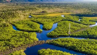
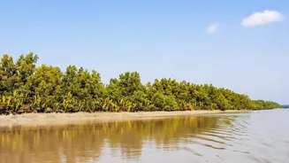
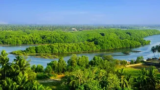
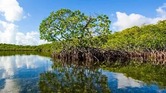
Mangrove forests are champions of carbon sequestration, storing up to four times more carbon per hectare than most terrestrial forests. This 'blue carbon' is primarily locked away not in the visible branches and leaves, but in the complex root systems
and deep, muddy soil below the water. For the Sundarbans, this represents an immense environmental and economic asset. A carbon audit—the process of quantifying this stored carbon—is essential for conservation planning and for participating in carbon markets. Traditionally, this meant sending teams into the forest for on-the-ground surveys. Researchers would establish plots, measure tree diameters, and take soil core samples—a process that is slow, expensive, and often hazardous in the difficult terrain of the Sundarbans. Furthermore, these manual methods can only cover small areas, making it difficult to create a comprehensive picture of the entire forest.
From Boots on the Ground to Eyes in the Sky
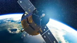
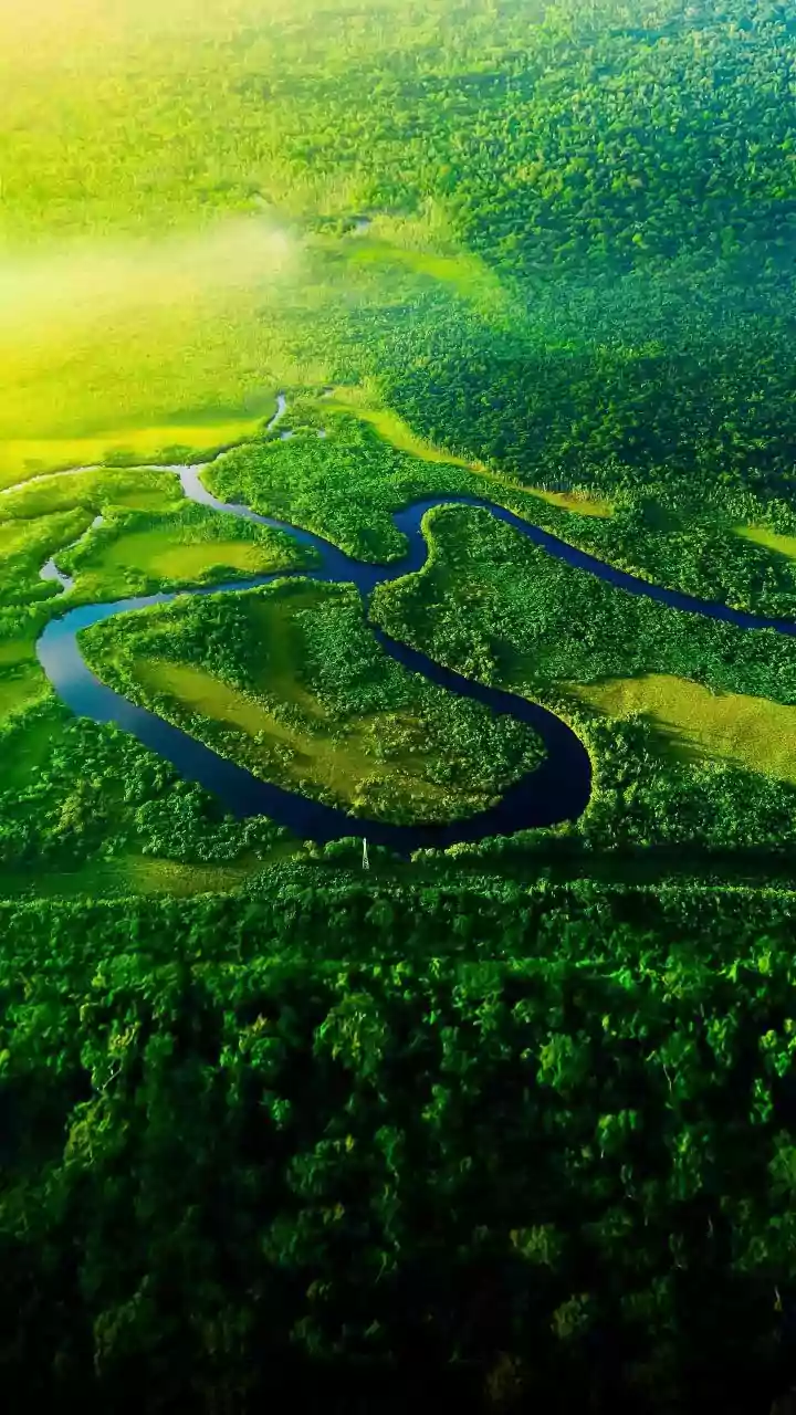
Precision satellite imaging, or remote sensing, offers a revolutionary alternative. Using technologies like optical and radar satellites (such as the Sentinel series), experts can now map and monitor huge, hard-to-reach areas with incredible detail. These satellites provide data on everything from the extent of the forest cover to canopy height and density. By combining this imagery with artificial intelligence and machine learning algorithms, scientists can estimate the aboveground biomass (the total weight of trees and vegetation) without ever setting foot in the mud. This shift from painstaking fieldwork to large-scale data analysis represents a major leap forward in environmental science.
The Precision Advantage for Carbon Audits
For carbon audits, the benefits of this technology are transformative. Firstly, it dramatically improves accuracy and scale. Instead of extrapolating from a few small plots, analysts can now assess the entire ecosystem, providing a much more reliable estimate of the total carbon stock. Secondly, it is far more efficient. Satellite data can be acquired and processed in a fraction of the time and cost of traditional field surveys. This allows for repeated measurements over time, which is crucial for monitoring changes, such as forest growth or loss from erosion. This near-real-time monitoring capability helps create a dynamic and up-to-date carbon inventory.
Unlocking Economic and Ecological Value
A more accurate and transparent carbon audit has significant economic implications. It builds trust in the burgeoning carbon market. When a country or organisation can rigorously verify the amount of carbon stored in an ecosystem like the Sundarbans, the resulting carbon credits become more valuable and attractive to companies looking to offset their emissions. This creates a powerful financial incentive for conservation. By demonstrating the monetary value of a healthy mangrove ecosystem, governments and communities can attract investment for protection and restoration projects. This aligns ecological goals with economic development, creating a sustainable model where preserving nature pays dividends.
The Future of Forest Monitoring
The integration of satellite imaging into carbon auditing is just the beginning. As technology improves, with higher-resolution imagery and more sophisticated AI models, the precision of these assessments will only increase. This allows for a much finer understanding of the forest's health, including tracking photosynthetic activity and the impact of climate stress. The goal is to create a robust, transparent, and globally recognised system for carbon accounting. For the Sundarbans, this means that its immense value as a natural climate solution can be accurately measured, properly valued, and better protected for generations to come.