

The View from Above: Seeing the Unseen
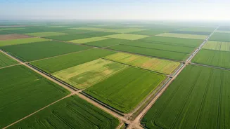
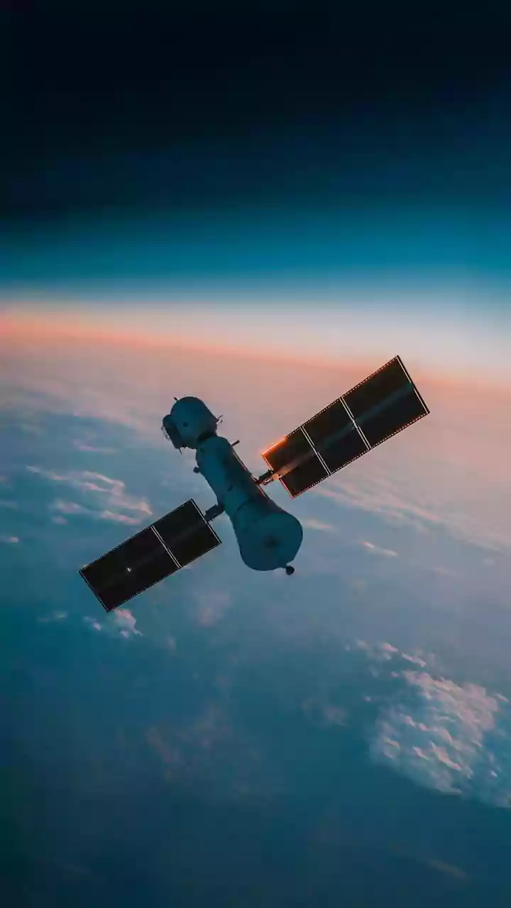
At its core, satellite technology for agriculture works by looking at how plants reflect light. Healthy, thriving plants absorb visible light for photosynthesis but strongly reflect near-infrared (NIR) light. When a plant is under stress—whether from
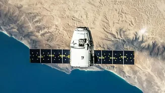
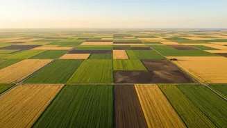
a lack of water, a nutrient deficiency, or an attack by pests—its ability to photosynthesize is compromised. This changes its light-reflecting properties long before the human eye can detect any yellowing or wilting. Satellites equipped with special sensors, known as multispectral or hyperspectral imagers, capture data across these different light bands. By analysing this data, experts can create detailed maps that highlight variations in plant health across a field, essentially creating a health chart for the entire crop.
Decoding the Signals: What Satellites Can Detect
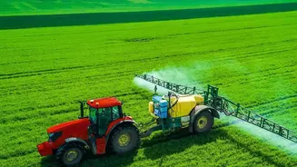
The power of this technology lies in its ability to diagnose a wide range of issues early. One of the most common applications is detecting water stress. Thermal sensors can identify when parts of a field are becoming too hot, a sign that plants are not getting enough water to cool themselves. This allows for precise irrigation, delivering water only where it's needed and conserving a vital resource. Similarly, satellites can pinpoint nutrient deficiencies, such as a lack of nitrogen, which affects chlorophyll levels and changes a plant's spectral signature. This enables farmers to apply fertilisers in a targeted manner, a practice known as precision agriculture, which saves money and reduces environmental runoff. It can also flag the initial stages of pest infestations and disease outbreaks by detecting subtle stress patterns in affected areas, giving farmers a crucial head start to contain the problem.
From Data to Action in Indian Agriculture
This isn't just theoretical; it's being actively deployed across India. Government initiatives like FASAL (Forecasting Agricultural output using Space, Agro-meteorology and Land-based observations) use satellite data to provide production forecasts for major crops. The Pradhan Mantri Fasal Bima Yojana (PMFBY), a crop insurance scheme, uses a system called YES-TECH to estimate yields at the village level, enabling faster and more accurate claim settlements. These large-scale programs are complemented by a growing number of agritech companies that translate complex satellite data into user-friendly advisories for farmers. This information helps farmers make data-driven decisions, from optimising fertiliser use to verifying land boundaries for loans.
The Real-World Impact: More Than Just Pictures
The benefits of early detection are significant. For an individual farmer, it means shifting from a reactive to a proactive approach. Instead of responding to a widespread problem, they can intervene precisely when and where a problem starts, saving on costly inputs like pesticides and fertilisers. Studies have shown this can lead to tangible increases in crop yields and reductions in input costs. On a national scale, this technology enhances food security by providing more accurate forecasts of agricultural output and helping manage responses to large-scale events like droughts or floods. By enabling more efficient use of resources like water and fertiliser, satellite monitoring also promotes more sustainable farming practices. While challenges like cloud cover during monsoon season and the small size of many Indian farms remain, the combination of satellite data with other technologies like drones and AI is continuously improving accuracy.