



First, The Familiar: What Is The Monsoon?
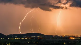
Let’s start with what we know best. The Indian summer monsoon is a massive seasonal weather event that delivers about 70-75% of the country's annual rainfall. It’s not just rain; it’s the engine of our agriculture-driven economy. The basic science is simple:
during summer, the Indian landmass heats up faster than the surrounding Indian Ocean. This creates a low-pressure area over the land, which pulls in moisture-rich winds from the sea. These winds travel across the subcontinent, releasing rain as they go. This predictable cycle is vital for filling our reservoirs, supporting farming, and managing everything from power generation to household budgets.
The Global Guest: What Is El Niño?
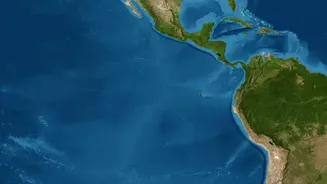
Now for the uninvited guest. El Niño is a climate pattern that begins thousands of kilometres away in the vast Pacific Ocean. In simple terms, it is the unusual and significant warming of the sea surface in the central and eastern Pacific Ocean. Think of that part of the ocean as a giant heater being turned up. Under normal conditions, strong trade winds blow from east to west, piling up warm water in the western Pacific, near Asia. During an El Niño event, these winds weaken, allowing the warm water to spread back toward South America. This change might seem distant, but it's so massive that it alters atmospheric circulation and weather patterns across the globe, including right here in India.
When Two Weather Titans Meet
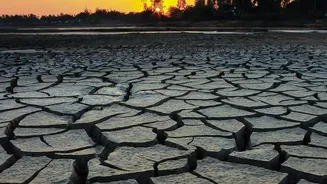
So, how does a warm Pacific affect our monsoon? The altered air circulation from El Niño can directly interfere with the monsoon winds. It can weaken the entire system that brings moisture from the ocean to the Indian subcontinent. This often leads to suppressed rainfall, resulting in drier-than-normal conditions. Historically, many of India's major drought years have coincided with strong El Niño events. However, it's a connection, not a guarantee. Not every El Niño year results in a drought in India. The relationship is complex, and other factors are always at play.
The Other Player: The Indian Ocean Dipole
El Niño isn't the only climate pattern that matters for the monsoon. We also have a homegrown factor called the Indian Ocean Dipole, or IOD. The IOD is the temperature difference between the western Indian Ocean (near the Arabian Sea) and the eastern Indian Ocean (near Indonesia). When the western part is warmer than the eastern part, it's called a 'positive IOD'. This condition can help push more moisture-filled winds toward India, sometimes counteracting El Niño's drying effect and boosting monsoon rains. A 'negative IOD' does the opposite. This is why some El Niño years see normal rainfall—a positive IOD can act as a saving grace.
What Is The Verdict For 2026?
The latest forecasts from August 2026 confirm that a strong El Niño is not just developing, but intensifying. International agencies like the World Meteorological Organization and NOAA have noted that the ongoing El Niño is expected to strengthen further through the end of the year, with a high probability of it becoming a historically strong event. In India, the impact has already been felt. After a delayed start, the cumulative rainfall for the season was about 12% below normal by early August. Forecasters, including private agency Skymet Weather, have recently revised their predictions, suggesting a high probability of drought conditions for the rest of the season, with both August and September expected to be significantly drier than average. This is largely attributed to the strengthening El Niño, which is suppressing monsoon activity across the country.