





The River of Sorrow
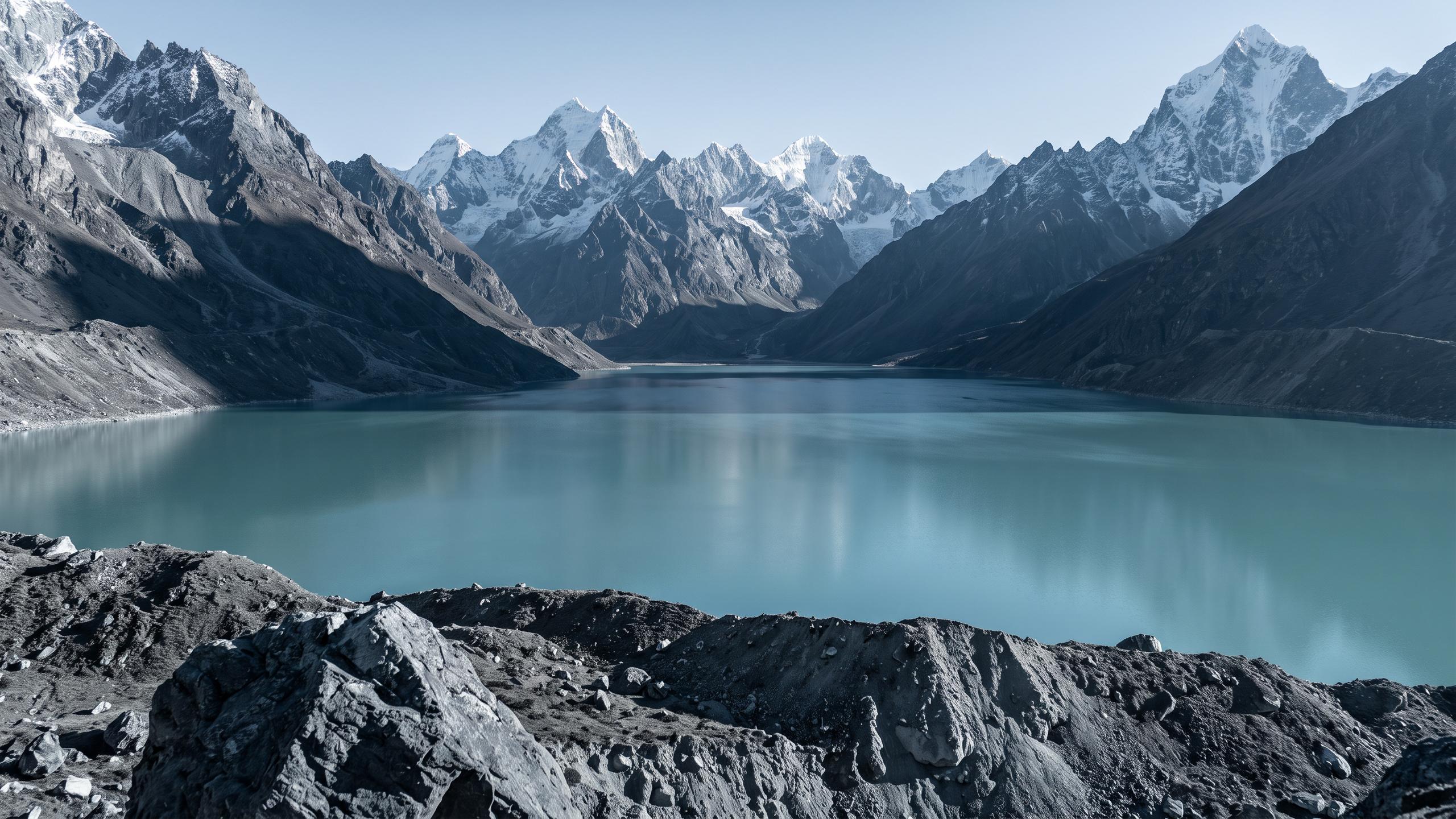
The Kosi is a transboundary river that originates high on the Tibetan Plateau, flows through Nepal, and enters India in northern Bihar before joining the Ganges. Its basin is home to nearly 40 million people whose lives are shaped by its flow. But its legacy
is one of destruction. The river is infamous for its frequent and unpredictable floods, which annually inundate vast tracts of fertile agricultural land, estimated at around 21,000 square kilometres. This constant threat to lives, homes, and the rural economy has cemented its reputation as a bringer of misery.
The First Ingredient: Monsoon Fury
The first critical factor in the Kosi’s destructive recipe is the monsoon. During the rainy season, the river's water levels swell dramatically. Its average water flow can increase by as much as 18 times, turning it from a river into a raging torrent. This immense volume of water provides the power, carrying with it the force necessary to breach embankments and carve new paths through the densely populated plains of Bihar.
The Second Ingredient: A Mountain of Silt
The Kosi’s other key characteristic is the staggering amount of sediment it carries. Originating in the young, geologically fragile Himalayas, the river erodes vast quantities of rock, sand, and silt on its journey downstream. The Kosi basin, while making up only about 9% of the greater Ganges river system, contributes nearly 25% of its total sediment load. This amounts to an estimated 100 to 135 million tonnes of silt transported every single year. This isn't just a river of water; it's a moving mountain of earth.
The Perfect Storm: Where Power Meets Debris
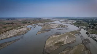
The flooding becomes catastrophic when these two factors combine. The river descends steeply from the mountains through the narrow Chatra Gorge in Nepal. As it hits the flat, low-lying plains of Bihar, its velocity drops dramatically. The fast-moving mountain water can no longer hold its heavy sediment load. Consequently, tonnes of sand and silt are deposited directly onto the riverbed. This process, called aggradation, causes the riverbed to rise steadily, year after year.
Avulsion: A River on the Move
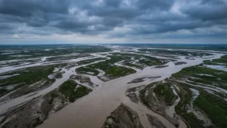
As the riverbed rises, the channel becomes progressively shallower. Eventually, the river flows at a higher elevation than the surrounding floodplain. At this point, it takes only a major monsoon flood for the river to break its banks and violently carve a new channel across the lower-lying land. This sudden change of course is known as an 'avulsion'. The Kosi is notorious for it, having shifted its course by over 120 kilometres in the past 250 years, abandoning old channels and creating new ones, wiping out everything in its path. The devastating 2008 flood, which displaced three million people, occurred when the river breached an embankment and shifted into an old channel it hadn't occupied in over a century.
An Engineering Quagmire
Attempts to tame the river with embankments, a process that began in the 1950s, have complicated the problem. By confining the river to a narrow channel, the embankments prevent it from distributing its sediment load over a wide area. This accelerates the rising of the riverbed within the confined channel, increasing the pressure on the embankments and making breaches more likely and more violent. Instead of solving the problem, these structures have, in some ways, made the river even more unstable.