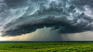


What Is This Weather 'Vortex'?
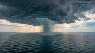
While 'cloud vortex' paints a dramatic picture, meteorologists call this phenomenon a 'cyclonic circulation'. Think of it not as a destructive cyclone, but as a massive, organised system of winds rotating around an area of low atmospheric pressure. This
particular system has formed over the east-central Arabian Sea. It acts like a giant, slow-moving engine, pulling in immense amounts of moisture from the warm sea surface. Unlike a fast-moving storm, these circulations can linger for days, creating a stable and persistent weather pattern that affects a vast area.
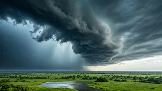
How It Creates 'Rain Streams'
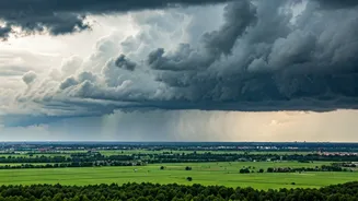
The rotating nature of the cyclonic circulation is key to its rain-making ability. As the system spins counter-clockwise, its winds scoop up moisture-rich air from the Arabian Sea. This moist air is then channelled eastward and north-eastward, directly towards the Indian mainland. This creates what can be described as an 'atmospheric river' or a 'continuous rain stream'. The system essentially establishes a conveyor belt, lifting moisture from the sea and dumping it as prolonged, often heavy, rainfall over the regions in its path. The strength and position of the low-pressure core determine exactly where this stream of rain makes landfall and how intense the downpour will be.
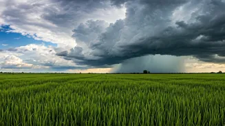
The Impact Zone: Central India
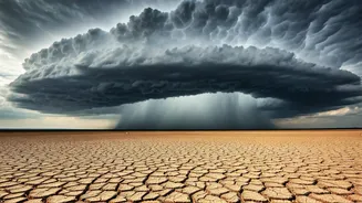
The trajectory of this moisture stream has placed central India directly in the bullseye. States like Maharashtra (especially Vidarbha and Marathwada), Madhya Pradesh, Chhattisgarh, and parts of Gujarat and Telangana are experiencing the most significant effects. The India Meteorological Department (IMD) has issued various alerts, from yellow to orange, for these regions, warning of heavy to very heavy rainfall. This isn't just a brief shower; it's a sustained period of wet weather that can lead to waterlogging in urban areas, overflowing of local water bodies, and disruption to transport and daily life. Farmers, in particular, are watching this weather event closely, as excessive rain can be as damaging as a deficit.
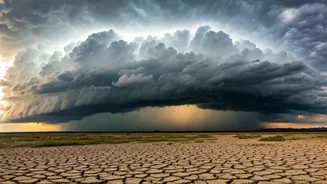
A Normal Monsoon Feature, But More Intense?
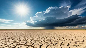
Cyclonic circulations and low-pressure areas are standard components of the Indian monsoon. They are the engines that drive the seasonal rains. However, the intensity and persistence of this particular system are noteworthy. Climate scientists have observed that the Arabian Sea has been warming at a faster rate than other ocean basins. Warmer sea surface temperatures provide more 'fuel' for weather systems, potentially making them stronger and capable of holding more moisture. While it's difficult to attribute any single weather event directly to climate change without extensive study, this pattern is consistent with projections of more intense rainfall events during the monsoon season. This vortex is a powerful reminder of the monsoon's dynamic and sometimes volatile nature.
What to Expect Next
According to IMD forecasts, this weather system is expected to persist for several more days, though its intensity and location may shift. The circulation is likely to move slowly inland, continuing to bring rainfall to central and even parts of eastern India before it gradually weakens. Residents in the affected states should brace for continued wet conditions. The continuous rainfall increases the risk of landslides in hilly areas and flash floods in low-lying regions. It is crucial to stay updated with the latest bulletins and advisories issued by the IMD and local disaster management authorities. Avoid spreading unverified information on social media and follow official guidance.