





The Unpredictable Monsoon
The monsoon, long the predictable engine of India's agriculture and ecosystems, is becoming erratic. Climate change is altering rainfall patterns, leading to significant consequences across the country. Scientists have observed a clear shift: instead
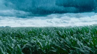
of steady, prolonged showers, we are seeing longer dry spells punctuated by intense, heavy downpours. Some regions are grappling with floods while others face drought. Studies show that rainfall is becoming more variable, which can drive a shift from stable forests to more open, savanna-like landscapes. Research in central India has confirmed a significant rise in extreme weather events, which puts forests under immense moisture stress. This new reality of either too much or too little water is disrupting the delicate balance that forest ecosystems depend on for survival.
How Changing Rains Stress Forests
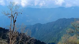
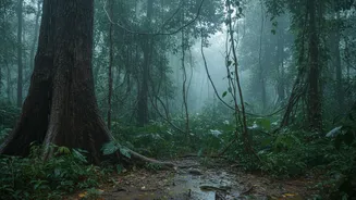
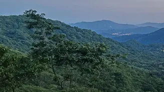
Forests are deeply sensitive to these shifts. The lifecycles of tropical deciduous forests, for instance, are tied to seasonal moisture. Altered rainfall patterns disrupt their natural cycles of leaf-shedding and greening. When temperatures rise and precipitation decreases, the risk of forest fires escalates dramatically, as seen in studies of the Panchmarhi Biosphere Reserve. Forests that are accustomed to steady moisture can become vulnerable to extended droughts, impacting tree health and vitality. This can lead to a loss of canopy cover and even a transition from dense forest to scrubland. Some studies project that India's most vital biodiversity hotspots, like the evergreen forests in the Western Ghats and the northeast, could eventually be replaced by more drought-tolerant deciduous forests if current trends continue.
The High-Tech Watch
To understand and predict these changes, scientists are deploying an arsenal of advanced technology. Satellite remote sensing has become a cornerstone of this effort, allowing for continuous monitoring of vast, inaccessible forest areas. The joint NASA-ISRO satellite, NISAR, became operational in late 2025 and scans nearly every part of India every 12 days. Its advanced radar can see through clouds and darkness to track subtle changes in forest health and biomass, generating enormous amounts of data daily. This is complemented by machine learning and deep learning algorithms that can process satellite imagery to create detailed land use maps, detect seasonal shifts, and assess forest health with high accuracy. On the ground, long-term ecological monitoring plots and sensor networks provide crucial data on soil moisture, tree growth, and species regeneration, helping to validate what the satellites see.
What's at Stake for India
The health of India's forests is not just an ecological issue; it's a matter of national importance. These ecosystems are vital carbon sinks, and missions like the Green India Mission aim to increase forest cover to meet the country's climate goals. A recent study noted that while warmer temperatures and increased rain might temporarily boost carbon storage in some areas, this could be offset by pest outbreaks and other risks. Forests are also critical for water security, acting as giant sponges that regulate groundwater recharge and river flows. Their degradation threatens the water supply for millions. Furthermore, the livelihoods of many local communities are directly tied to forest resources. Strengthening conservation strategies, promoting sustainable land use, and involving these communities in forest management are considered urgent priorities to protect the ecological integrity of these vital landscapes.