





The Big Picture: A Weaker End to Monsoon
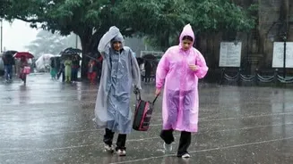
The IMD's latest outlook for August and September 2026 predicts that rainfall for the country as a whole is likely to be below normal. This is defined as less than 94% of the Long Period Average (LPA), the historical benchmark for monsoon performance.
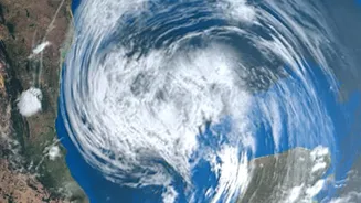
The primary driver for this subdued forecast is the strengthening El Niño condition over the Pacific Ocean, a weather pattern typically associated with weaker monsoons in India. While July provided some relief with near-normal rainfall in many areas, erasing some of the deficits from a dry June, the overall projection for the rest of the season remains cautious. The forecast also anticipates that temperatures, both maximum and minimum, are likely to be above normal across most parts of the country.
Why National Averages Can Be Deceiving
A single, nationwide rainfall number often masks vast regional differences. The IMD's own forecast notes that while many parts of the country may see a deficit, some areas in Peninsular India, Central India, and the Northeast could receive normal to even above-normal rainfall. This uneven distribution is the key. A season can feature devastating floods in one state while another faces a drought, yet these extremes can average out to a figure that looks deceptively 'normal' on paper. This is why, for your daily life, the national average is far less important than the answer to a simple question: did the rain fall in the catchment areas of the lakes and dams that supply my city?
A Tale of Two Cities: The Local Reality
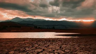
The contrast between different cities' water situations highlights why local data is paramount. In Mumbai, consistent rainfall in the catchment areas has brought welcome news. As of early August 2026, the seven reservoirs supplying the city have reached over 90% of their total capacity. With some lakes like Modak Sagar and Vihar already overflowing, the city's water supply situation is comfortable. Contrast this with Chennai, where a lack of fresh inflow has caused water levels in its five major reservoirs to dip below 50% capacity as of early July. While recent rains in the Western Ghats are bringing some relief to dams in southern Tamil Nadu, like Papanasam and Servalar, the situation for Chennai's main sources remains a concern. These starkly different scenarios, occurring during the same monsoon season, prove that a 'good' or 'bad' monsoon is entirely a local affair.
From Clouds to Taps: The Journey of Urban Water
Rainwater doesn't magically appear in our homes. It must be captured and stored in large reservoirs, which act as giant savings accounts for water. Municipal corporations, like the Brihanmumbai Municipal Corporation (BMC) or the Greater Visakhapatnam Municipal Corporation (GVMC), constantly monitor the levels in these reservoirs. Their decisions on whether to impose water cuts or maintain regular supply are based on this single data point: the total usable water stock available. This stock must last until the next monsoon. Therefore, a few days of heavy, intense rain that fills these reservoirs are far more valuable for urban water security than weeks of light drizzles spread across a wider, non-catchment area.
What You Should Really Be Watching
Instead of getting caught up in the national monsoon percentage, pay attention to local updates. Your municipal corporation is the primary source for information on reservoir levels. These are often published daily on their websites or social media channels. Local news outlets also track this data closely, especially during the monsoon months. Understanding the health of your local reservoirs gives you a true picture of the water situation for the year ahead. It's the number that dictates planning for everything from drinking water supply to industrial use and is the most reliable indicator of whether your region will face water stress in the coming dry season. While the IMD provides the crucial, big-picture weather forecast, it’s the local water level that hits home.