


The View From Above
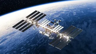
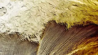
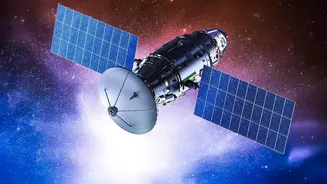
At its core, the technology is about remote sensing. Satellites equipped with advanced sensors capture images of the Earth's surface. This isn't like taking a simple photograph; these sensors capture light across different wavelengths, including those
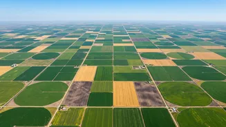
invisible to the human eye, like near-infrared (NIR). By analysing how different light waves are absorbed and reflected by the land below, scientists and farmers can gather a wealth of information. This provides a continuous, large-scale view of agricultural lands that would be impossible to monitor through traditional ground surveys alone.
Decoding Plant Health with NDVI
One of the most powerful tools derived from satellite data is the Normalized Difference Vegetation Index, or NDVI. In simple terms, NDVI is a calculation based on the difference between the red light that healthy plants absorb for photosynthesis and the near-infrared light they reflect. A high NDVI value indicates dense, healthy vegetation, while a low value can signal that plants are under stress. This allows farmers to get a comprehensive health check-up of their entire field at a glance. An NDVI map can highlight problem areas, showing weaker growth in one part of a field compared to another, often before the signs of stress are visible to the naked eye.
From Data to Decisions: Precision Agriculture
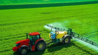
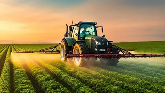
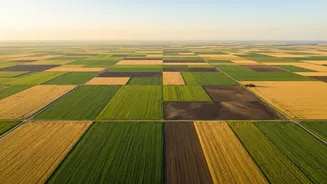
This data isn't just for observation; it drives a movement called precision agriculture. Instead of treating a whole field uniformly, farmers can use satellite insights to make targeted decisions. For example, if an NDVI map shows a patch of stressed crops, a farmer can investigate that specific area for issues like pest infestation, nutrient deficiency, or disease. It also allows for the precise application of resources. By identifying areas with low soil moisture, farmers can optimise irrigation, saving water and preventing waste. Similarly, fertilisers and pesticides can be applied only where they are needed, reducing costs and minimising environmental impact.
India's Leap into Space-Age Farming
In India, the Indian Space Research Organisation (ISRO) is playing a pivotal role in bringing this technology to the grassroots. Through programs like FASAL (Forecasting Agricultural output using Space, Agrometeorology and Land-based observations) and the Krishi-Decision Support System (Krishi-DSS), ISRO provides crucial data for crop forecasting, drought monitoring, and resource management. This information is not only empowering individual farmers to increase yields but also helping government agencies in policy planning, ensuring food security, and deploying relief during droughts or floods. By leveraging data from its own satellites like Resourcesat and RISAT, alongside international ones, India is making agriculture more resilient and productive.
Beyond the Farm Gate
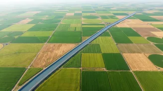
The applications extend far beyond individual farms. On a regional and national level, satellite data is crucial for large-scale land use monitoring. Analysts can track changes over time, such as the expansion or shrinking of agricultural land, the impact of urban sprawl, or the effects of deforestation. It allows for accurate, pre-harvest yield estimations for key crops, which is vital for managing supply chains, setting prices, and planning for food distribution. As climate change brings more unpredictable weather, the ability to monitor drought conditions and assess the impact of extreme events in near real-time is more critical than ever for ensuring national food security.