






An Unblinking Eye in the Sky
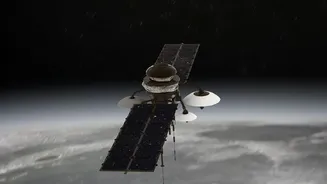
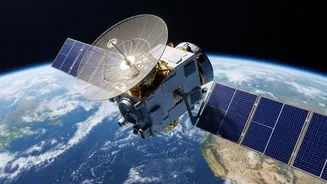
When we think of weather satellites, we often imagine the cloud-cover maps seen on evening news bulletins. But India's constellation of Earth Observation (EO) satellites, operated by the Indian Space Research Organisation (ISRO), goes far beyond that.
Satellites like those in the INSAT and Resourcesat series are equipped with advanced sensors that monitor a vast range of environmental parameters. They continuously track land, oceans, and the atmosphere, providing data on everything from rainfall and cloud movement to sea surface temperatures and vegetation health. This constant stream of information has become indispensable for agencies like the India Meteorological Department (IMD) and the National Disaster Management Authority (NDMA).
Seeing Through the Clouds
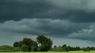
One of the biggest challenges of monitoring India during the monsoon is the dense cloud cover that blankets the subcontinent for months. This is where different types of satellite technology become vital. While optical satellites work like a camera and need clear skies, India's Radar Imaging Satellites (RISAT) use a technology called Synthetic Aperture Radar (SAR). SAR allows these satellites to effectively 'see' through clouds, haze, and even darkness. This all-weather capability is a game-changer. During a heavy downpour or a cyclone, when ground information is scarce and optical satellites are blind, RISAT can provide clear images of the ground, identifying flooded areas with remarkable precision.
From Flood Prediction to Rapid Response
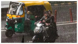
For a country where over 12% of the land is prone to floods, early warnings are a matter of life and death. Satellite data is at the heart of modern flood management. By estimating rainfall intensity and tracking river water levels, satellites help the Central Water Commission issue timely flood forecasts. When floods do occur, near-real-time inundation maps are generated using data from satellites like RISAT. These maps show the exact extent of waterlogging, helping the NDMA and local response teams identify the worst-hit areas, plan evacuation routes, and deliver aid to those who need it most. This technology has significantly improved disaster preparedness and helped reduce loss of life during extreme weather events.
A Lifeline for Indian Agriculture
The monsoon is the backbone of Indian agriculture, but its unpredictability poses a huge risk to farmers. Satellites provide a crucial layer of intelligence that can help mitigate these risks. By monitoring soil moisture levels, crop health, and vegetation patterns, EO satellites enable more precise agricultural advisories. Farmers can receive information on the optimal time for sowing, irrigation needs, and even early detection of pest attacks or nutrient deficiencies. Furthermore, in the event of crop damage due to floods or drought, satellite imagery provides a quick and objective way to assess the extent of losses, which helps in the speedy processing of crop insurance claims under schemes like the Pradhan Mantri Fasal Bima Yojana.
Tracking Cyclones Before They Strike
The monsoon season often coincides with cyclone activity in the Bay of Bengal and the Arabian Sea. Satellites are our primary tool for monitoring these powerful storms from their very inception. The INSAT series of satellites, for instance, can track a cyclone's formation, intensity, and movement in real-time. This continuous monitoring allows the IMD to issue accurate and timely warnings, with landfall prediction errors significantly reduced in recent years. This lead time is critical, enabling authorities to carry out mass evacuations from coastal areas and prepare for the storm's impact, a process that has saved countless lives over the past two decades.