


Why Mountain Forecasts Fail
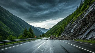
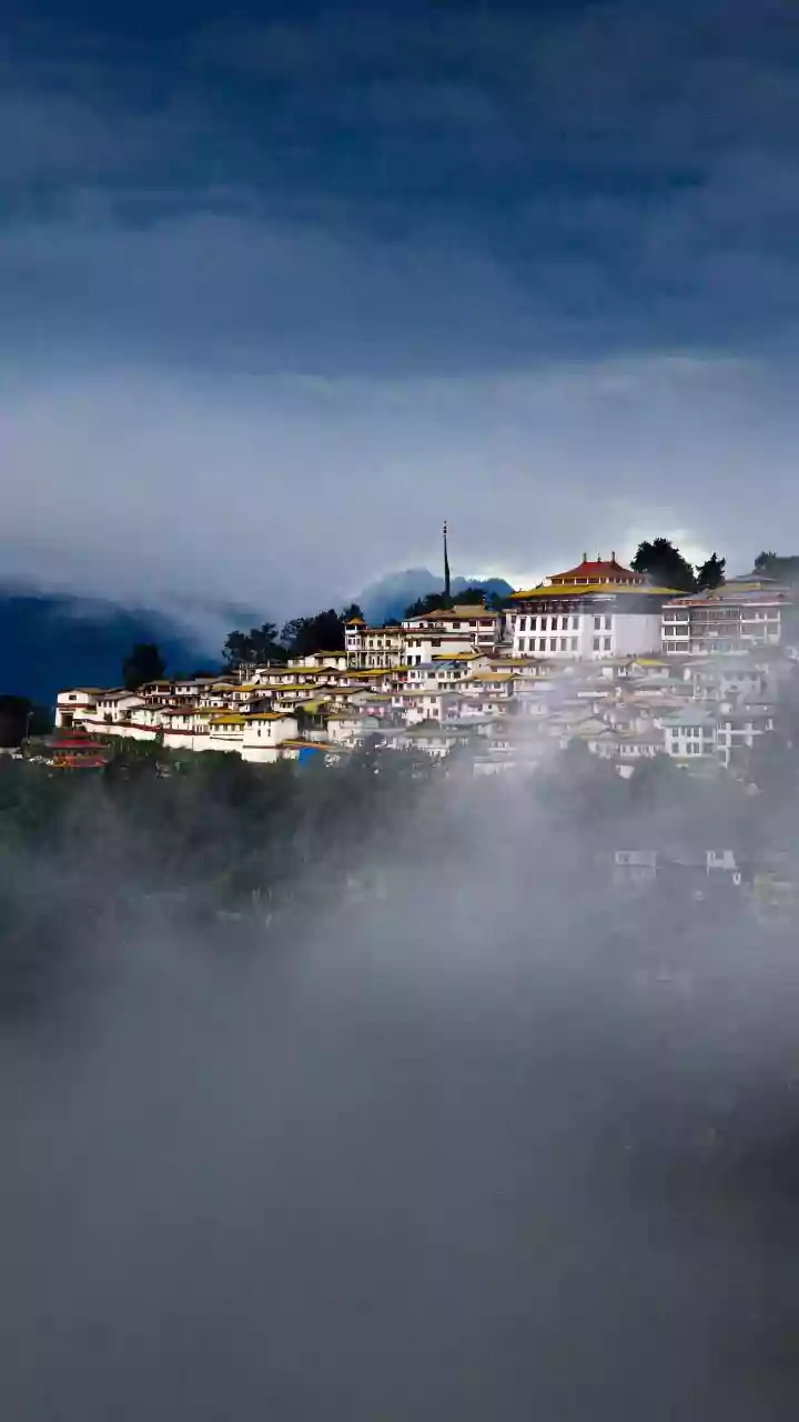
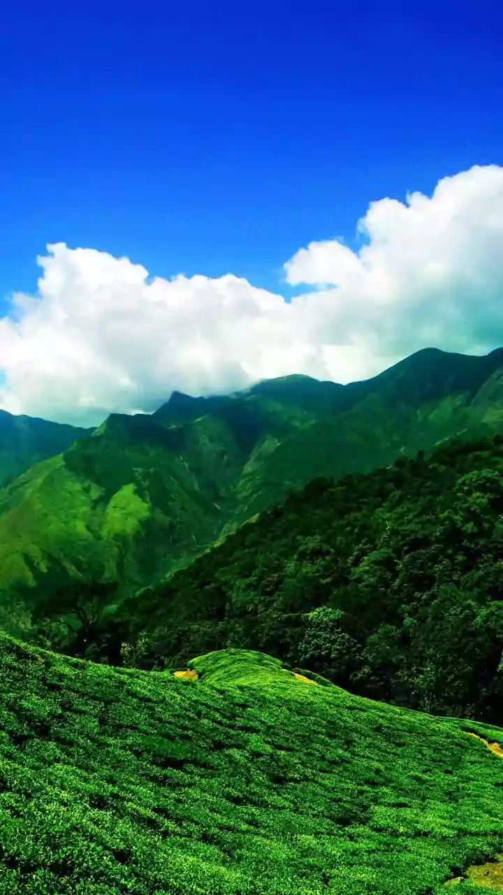
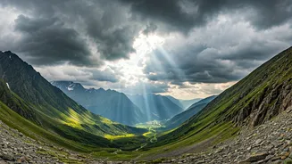
Anyone who has travelled in the Himalayas or the Western Ghats knows that weather here plays by its own rules. A sunny morning can turn into a torrential downpour in minutes. This is because mountains create their own weather systems called microclimates.
A valley can be drenched in rain while the next one over is bathed in sunshine. Standard weather forecasts, which often cover a wide region, simply can’t capture this hyper-local, fast-changing reality. They might predict 'scattered showers' for an entire district, which is useless when you need to know if the specific 20-kilometre stretch of road ahead is about to get hit by a cloudburst. This is where traditional forecasting reaches its limit and real-time, crowdsourced data becomes your most valuable co-pilot.
The Power of Crowdsourced Data
So, what exactly is 'crowdsourced' weather tracking? Instead of relying solely on a few large, official weather stations, these tools gather data from thousands of sources in real time. This includes information from personal weather stations, radar and satellite imagery, and even anonymous data from smartphones that report changes in atmospheric pressure. Some apps also incorporate direct user reports—people on the ground sharing updates about rain, fog, or road conditions. Think of it as the Waze or Google Maps traffic feature, but for weather. This collective intelligence creates a much more granular and up-to-the-minute picture of the weather, allowing you to see patterns developing in real time, rather than relying on a prediction made hours ago.
Your Digital Weather Toolkit
Having the right apps is crucial. Don't just rely on your phone's default weather widget. Build a dedicated toolkit for your mountain journey: 1. Windy.com: This is a favourite among pilots, sailors, and seasoned travellers for a reason. It’s a powerful visualisation tool. Instead of just giving you a temperature, it shows you live maps of wind, rain, cloud cover, and more. You can use the timeline slider to animate the forecast and see exactly when a rain band is predicted to move over your route. Its 'Rain, thunder' layer is invaluable for understanding the intensity and movement of precipitation. 2. AccuWeather with MinuteCast: While many apps have radar, AccuWeather's MinuteCast feature is exceptionally useful. It provides minute-by-minute precipitation forecasts for your precise location for the next two hours. It might tell you 'Light rain starting in 15 minutes and lasting for 45 minutes'. This is gold when you're deciding whether to push on or stop for a cup of chai and wait out a short, intense spell. 3. IMD's Mausam App: While not strictly crowdsourced, the official app from the India Meteorological Department provides location-specific forecasts and, crucially, official weather warnings. Always check it for any 'red' or 'orange' alerts issued for the district you're in. These warnings are based on professional analysis and can signal a large-scale weather event that smaller apps might miss.
Strategy: How to Use The Tools
Simply having the apps isn't enough; you need a strategy. Before you start your day's drive, check the overall forecast on Mausam for any major warnings. Then, open Windy.com to look at the rain and cloud animation for your entire route for the next 6-8 hours. Are there any intense patches moving in? As you drive, use AccuWeather’s MinuteCast for short-term decisions. If it shows a heavy downpour ahead, it might be the perfect time for a lunch break. The goal is to be proactive, not reactive. Use the data to plan your stops and driving windows, staying ahead of the worst weather instead of getting caught in it. Also, cross-reference what you see on the apps. If two different tools show a storm cell brewing over the next mountain pass, take it seriously.
Look Up From Your Screen
Technology is a powerful ally, but it's not infallible. Your most reliable sources of information are often the people who live and work in the mountains. Talk to your guesthouse owner, the driver at the local taxi stand, or the shopkeeper where you stop for supplies. Ask them about the road ahead. They have a lifetime of experience reading the local skies and know which sections are prone to landslides. Furthermore, join local Facebook or WhatsApp groups for places like Spiti, Ladakh, or Uttarakhand. These communities are filled with real-time updates from other travellers and locals about road closures, weather conditions, and blockades. Combining high-tech data with this low-tech, on-the-ground human intelligence is the ultimate strategy for a safe and successful mountain journey.