




A Delta Under Pressure
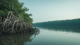
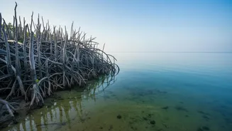
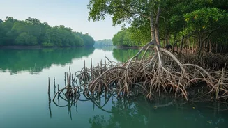
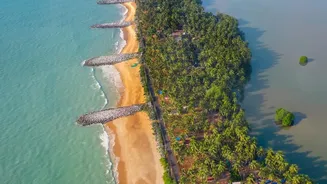
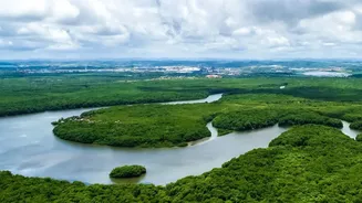
The Sundarbans, a UNESCO World Heritage Site straddling India and Bangladesh, is a breathtaking maze of tidal rivers, mudflats, and mangrove forests. It is not only the kingdom of the Royal Bengal Tiger but also a vital protective barrier for millions
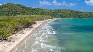
of people against cyclones and storm surges. However, this unique ecosystem is under immense stress. Climate change is accelerating sea-level rise, causing coastal erosion that swallows entire islands. At the same time, reduced freshwater flow from upstream rivers and increased storm frequency are causing a critical problem: rising salinity. This creeping saltiness poisons the soil and water, threatening the very existence of iconic trees like the Sundari, from which the forest gets its name.
Giving the Forest a Voice
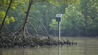
To understand and combat these threats, scientists need data—and not just occasional snapshots, but a continuous, live feed from the heart of the delta. This is where telemetry sensors come in. These are robust, self-contained devices packed with instruments to measure key environmental indicators. Think of them as a persistent scientific presence in a place too hostile for humans to monitor 24/7. Deployed in the water, these multi-parameter sondes track crucial variables like water temperature, conductivity (to measure salinity), pH levels, turbidity (water cloudiness), and dissolved oxygen. This information acts as a real-time health check for the aquatic ecosystem, providing a detailed picture of the changes happening beneath the surface.
The Deployment Gauntlet
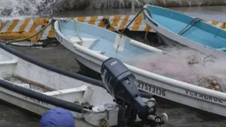
Getting these sensors into position is a monumental challenge. The Sundarbans is a remote wilderness with limited infrastructure. Scientists often rely on local boats and the invaluable knowledge of fishermen to navigate the complex network of tidal creeks. The equipment itself must be incredibly durable to withstand the corrosive saltwater, powerful tidal currents, and the constant threat of biofouling, where organisms grow on underwater surfaces. Then there's the wildlife. Researchers work in a habitat patrolled by tigers and crocodiles, making every deployment a calculated risk. Once in place, the sensors are programmed to collect data at regular intervals, often every 15 minutes to an hour.
A Live Scan of the Delta
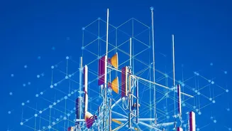
The term "real-time delta scan" refers to the process of gathering and transmitting this data almost instantaneously. The sensors are connected to telemetry units that use GSM (mobile networks) or satellite links to send their readings to a central server. Researchers and policymakers can then access this live feed from their labs. This stream of data allows them to track the pulse of the delta, watching how salinity levels change with the tides and seasons, monitoring sediment flow which is crucial for the land-building process, and observing the immediate impact of events like cyclones or heavy rainfall. This continuous flow of information transforms scientific understanding from a historical analysis to a live, dynamic picture.
From Data to Life-Saving Decisions
This high-tech monitoring is not just an academic exercise. The data gathered provides the foundation for critical early warning systems. By understanding how the delta responds to storm surges, authorities can create more accurate flood models and issue timely evacuation alerts for the 4.5 million people living in and around the Indian Sundarbans. The information also guides long-term conservation strategy. It helps identify areas where mangrove species are most stressed by rising salinity, allowing for targeted restoration efforts with more salt-tolerant varieties. Ultimately, by translating the whispers of the swamp into actionable data, these sensors are helping to build resilience for both the ecosystem and the communities that depend on it for their survival.